2020 Deer Run Ct Huntingtown, MD 20639
Estimated Value: $499,000 - $565,000
--
Bed
2
Baths
1,242
Sq Ft
$419/Sq Ft
Est. Value
About This Home
This home is located at 2020 Deer Run Ct, Huntingtown, MD 20639 and is currently estimated at $520,956, approximately $419 per square foot. 2020 Deer Run Ct is a home located in Calvert County with nearby schools including Plum Point Elementary School, Plum Point Middle School, and Huntingtown High School.
Ownership History
Date
Name
Owned For
Owner Type
Purchase Details
Closed on
Jul 28, 2000
Sold by
Burke Calvin D and Burke Amy E
Bought by
Mcdowell Patrick D and Mc Dowell Michelle
Current Estimated Value
Purchase Details
Closed on
Apr 25, 1997
Sold by
Squibb Brian and Squibb Kim
Bought by
Burke Calvin D and Burke Amy E
Purchase Details
Closed on
Apr 12, 1990
Sold by
H J Luckett Contractor, Inc
Bought by
Squibb Brian and Squibb Kim
Home Financials for this Owner
Home Financials are based on the most recent Mortgage that was taken out on this home.
Original Mortgage
$121,000
Interest Rate
10.26%
Create a Home Valuation Report for This Property
The Home Valuation Report is an in-depth analysis detailing your home's value as well as a comparison with similar homes in the area
Home Values in the Area
Average Home Value in this Area
Purchase History
| Date | Buyer | Sale Price | Title Company |
|---|---|---|---|
| Mcdowell Patrick D | $200,000 | -- | |
| Burke Calvin D | $179,900 | -- | |
| Squibb Brian | $171,000 | -- |
Source: Public Records
Mortgage History
| Date | Status | Borrower | Loan Amount |
|---|---|---|---|
| Previous Owner | Squibb Brian | $121,000 | |
| Closed | Burke Calvin D | -- |
Source: Public Records
Tax History Compared to Growth
Tax History
| Year | Tax Paid | Tax Assessment Tax Assessment Total Assessment is a certain percentage of the fair market value that is determined by local assessors to be the total taxable value of land and additions on the property. | Land | Improvement |
|---|---|---|---|---|
| 2025 | $4,689 | $413,967 | $0 | $0 |
| 2024 | $4,408 | $388,400 | $181,600 | $206,800 |
| 2023 | $4,092 | $373,200 | $0 | $0 |
| 2022 | $3,931 | $358,000 | $0 | $0 |
| 2021 | $3,753 | $342,800 | $181,600 | $161,200 |
| 2020 | $3,753 | $339,867 | $0 | $0 |
| 2019 | $3,736 | $336,933 | $0 | $0 |
| 2018 | $3,693 | $334,000 | $181,600 | $152,400 |
| 2017 | $3,634 | $324,067 | $0 | $0 |
| 2016 | -- | $314,133 | $0 | $0 |
| 2015 | $3,933 | $304,200 | $0 | $0 |
| 2014 | $3,933 | $304,200 | $0 | $0 |
Source: Public Records
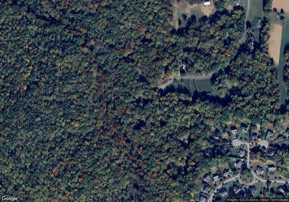
Map
Nearby Homes
- 1719 Lottie Fowler Rd
- 1412 Bidwell Ln
- 1755 Lottie Fowler Rd
- 1070 Claypipe Dr
- 1425 Abbey Ln
- 3120 Queensberry Dr
- 1270 Hollyberry Ct
- 490 Clay Hammond Rd
- 3605 Samanthas Way
- 1340 Wilson Rd
- 2970 Stinnett Rd
- 1110 Cox Rd
- 2045 Mount Pleasant Way
- 3707 Cassell Blvd
- 2920 Dares Beach Rd
- 1955 Wilson Rd
- 1975 Dares Beach Rd
- 570 Marley Run
- 1755 Dares Beach Rd
- 70 S View Dr
- 2010 Deer Run Ct
- 2030 Deer Run Ct
- 2025 Deer Run Ct
- 2105 Deer Run Ct
- 2100 Deer Run Ct
- 2040 Deer Run Ct
- 2150 Deer Run Ct
- 2125 Deer Run Ct
- 2145 Deer Run Ct
- 2135 Deer Run Ct
- 1516 Larkspur Ct
- 1512 Larkspur Ct
- 1518 Larkspur Ct
- 1520 Larkspur Ct
- 1508 Larkspur Ct
- 2780 Queensberry Dr
- 2426 Emmanuel Ct
- 2784 Queensberry Dr
- 2155 Deer Run Ct
- 2776 Queensberry Dr