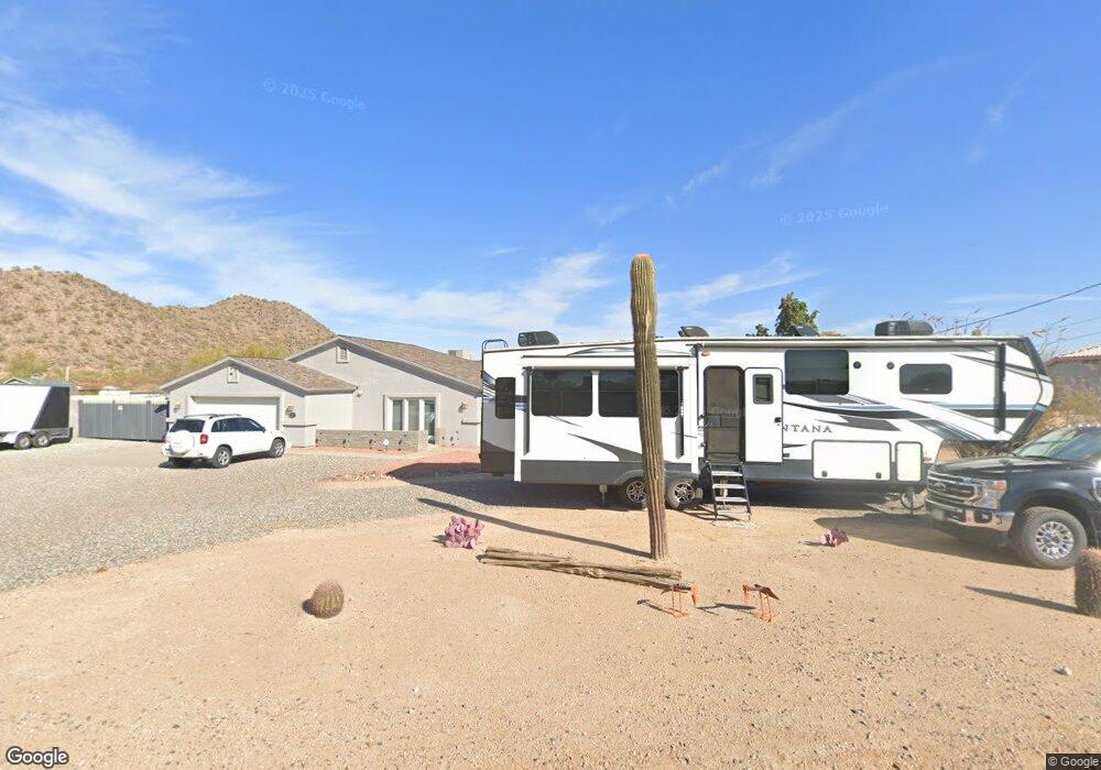
2020 E Tonopah Dr Phoenix, AZ 85024
Desert View NeighborhoodEstimated Value: $606,000 - $921,000
3
Beds
2
Baths
1,452
Sq Ft
$524/Sq Ft
Est. Value
About This Home
This home is located at 2020 E Tonopah Dr, Phoenix, AZ 85024 and is currently estimated at $760,373, approximately $523 per square foot. 2020 E Tonopah Dr is a home located in Maricopa County with nearby schools including Boulder Creek Elementary School, Mountain Trail Middle School, and Pinnacle High School.
Ownership History
Date
Name
Owned For
Owner Type
Purchase Details
Closed on
Apr 4, 2024
Sold by
Bohnsack David D and Bohnsack Luann J
Bought by
Bohnsack David Dale and Bohnsack Luann Jean
Current Estimated Value
Purchase Details
Closed on
Jul 31, 2003
Sold by
Blazier Ralph E and Blazier Doris C
Bought by
Bohnsack David D and Bohnsack Luann J
Home Financials for this Owner
Home Financials are based on the most recent Mortgage that was taken out on this home.
Original Mortgage
$160,000
Interest Rate
5.13%
Mortgage Type
Purchase Money Mortgage
Create a Home Valuation Report for This Property
The Home Valuation Report is an in-depth analysis detailing your home's value as well as a comparison with similar homes in the area
Home Values in the Area
Average Home Value in this Area
Purchase History
| Date | Buyer | Sale Price | Title Company |
|---|---|---|---|
| Bohnsack David Dale | -- | None Listed On Document | |
| Bohnsack David D | $260,000 | Equity Title Agency Inc |
Source: Public Records
Mortgage History
| Date | Status | Borrower | Loan Amount |
|---|---|---|---|
| Previous Owner | Bohnsack David D | $160,000 |
Source: Public Records
Tax History Compared to Growth
Tax History
| Year | Tax Paid | Tax Assessment Tax Assessment Total Assessment is a certain percentage of the fair market value that is determined by local assessors to be the total taxable value of land and additions on the property. | Land | Improvement |
|---|---|---|---|---|
| 2025 | $3,793 | $42,981 | -- | -- |
| 2024 | $3,589 | $40,934 | -- | -- |
| 2023 | $3,589 | $68,950 | $13,790 | $55,160 |
| 2022 | $3,547 | $47,850 | $9,570 | $38,280 |
| 2021 | $3,568 | $44,530 | $8,900 | $35,630 |
| 2020 | $3,446 | $41,320 | $8,260 | $33,060 |
| 2019 | $3,462 | $39,250 | $7,850 | $31,400 |
| 2018 | $3,336 | $36,900 | $7,380 | $29,520 |
| 2017 | $3,186 | $34,870 | $6,970 | $27,900 |
| 2016 | $3,135 | $34,680 | $6,930 | $27,750 |
| 2015 | $2,909 | $30,760 | $6,150 | $24,610 |
Source: Public Records
Map
Nearby Homes
- 1723 E Pontiac Dr
- 20038 N 21st St
- 1701 E Yukon Dr
- 2126 E Escuda Rd
- 19816 N 20th Way
- 2244 E Behrend Dr
- 2264 E Monona Dr Unit 1
- 2233 E Behrend Dr Unit 45
- 2233 E Behrend Dr Unit 92
- 2233 E Behrend Dr Unit 61
- 2233 E Behrend Dr Unit 8
- 2233 E Behrend Dr Unit 60
- 2233 E Behrend Dr Unit 211
- 2233 E Behrend Dr Unit 29
- 2233 E Behrend Dr Unit 250
- 2233 E Behrend Dr Unit 162
- 2233 E Behrend Dr Unit 17
- 2233 E Behrend Dr Unit Lot 93
- 2233 E Behrend Dr Unit 219
- 2233 E Behrend Dr Unit 26
- 2012 E Tonopah Dr
- 2032 E Tonopah Dr
- 2019 E Tonopah Dr
- 2035 E Tonopah Dr
- 2009 E Tonopah Dr
- 2050 E Tonopah Dr
- 20435 N 20th St
- 20434 N 21st St
- 330 E Tonopah Dr Unit 7
- 2049 E Tonopah Dr
- 20445 N 20th St
- 1500 E Beardsley Rd
- 1500 E Beardsley Rd Unit 88
- 20446 N 21st St
- 20419 N 21st St
- 20433 N 21st St
- 20620 N 21st St
- 20445 N 21st St
- 1731 E Pontiac Dr
- 20609 N 20th St