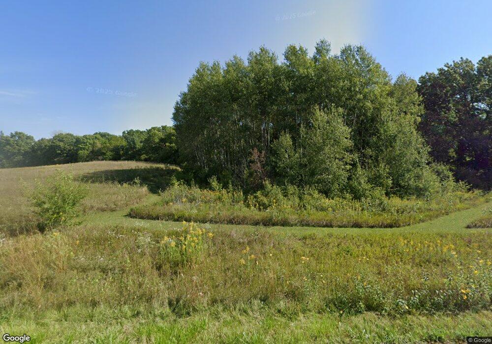
2020 Hawkinson Rd Oregon, WI 53575
Estimated Value: $396,000 - $1,315,277
--
Bed
--
Bath
--
Sq Ft
12.64
Acres
About This Home
This home is located at 2020 Hawkinson Rd, Oregon, WI 53575 and is currently estimated at $928,426. 2020 Hawkinson Rd is a home located in Dane County with nearby schools including Fox Prairie Elementary School, River Bluff Middle School, and Stoughton High School.
Ownership History
Date
Name
Owned For
Owner Type
Purchase Details
Closed on
Mar 27, 2014
Sold by
Richards Norman R and Richards Susan M
Bought by
Richards Trust and Richards Susan M
Current Estimated Value
Create a Home Valuation Report for This Property
The Home Valuation Report is an in-depth analysis detailing your home's value as well as a comparison with similar homes in the area
Home Values in the Area
Average Home Value in this Area
Purchase History
| Date | Buyer | Sale Price | Title Company |
|---|---|---|---|
| Richards Trust | -- | None Available | |
| Richards Norman R | -- | None Available |
Source: Public Records
Tax History Compared to Growth
Tax History
| Year | Tax Paid | Tax Assessment Tax Assessment Total Assessment is a certain percentage of the fair market value that is determined by local assessors to be the total taxable value of land and additions on the property. | Land | Improvement |
|---|---|---|---|---|
| 2024 | $12,811 | $854,300 | $240,100 | $614,200 |
| 2023 | $11,599 | $854,300 | $240,100 | $614,200 |
| 2021 | $11,435 | $854,300 | $240,100 | $614,200 |
| 2020 | $13,374 | $699,000 | $154,600 | $544,400 |
| 2019 | $13,482 | $699,000 | $154,600 | $544,400 |
| 2018 | $12,621 | $699,000 | $154,600 | $544,400 |
| 2017 | $12,908 | $699,000 | $154,600 | $544,400 |
| 2016 | $12,884 | $699,000 | $154,600 | $544,400 |
| 2015 | $12,456 | $699,000 | $154,600 | $544,400 |
| 2014 | $11,716 | $681,300 | $154,600 | $526,700 |
| 2013 | $11,579 | $681,300 | $154,600 | $526,700 |
Source: Public Records
Map
Nearby Homes
- 4595 Mahoney Rd
- 2023 Barber Dr
- 2288 County Road Ab
- 2722 Tower Rd
- 3524 Orvold Park Dr
- 4174 Brian St
- 2395 White Oak Trail
- 3472 Orvold Park Dr
- 4812 Schneider Dr
- 3218 Aalseth Ln
- 850 N Perry Pkwy
- 1520 Palm Grass Way
- 1520 Palm Grass Way
- 1077 Tundra Ave
- 1082 Tundra Ave
- 1090 Tundra Ave
- 2965 Blue Grass Dr
- 110 Saratoga Cir
- 2860 Wild Goose Way
- 2882 Wild Goose Way
- 2041 Alice Pauline Dr
- 2047 Alice Pauline Dr
- 4031 Lally Rd
- 2042 Hawkinson Rd
- 4039 Lally Rd
- 2053 Alice Pauline Dr
- 4045 Lally Rd
- 4021 Lally Rd
- 3940 N Wilnor Rd
- 4008 Wilnor Dr
- 3940 Wilnor Dr
- 4034 Lally Rd
- 4000 Wilnor Dr
- 2029 Alice Pauline Dr
- 2059 Alice Pauline Dr
- 3952 Wilnor Dr
- 2028 Alice Pauline Dr
- 4036 Lally Rd
- 3992 Wilnor Dr
- 4019 Lally Rd
