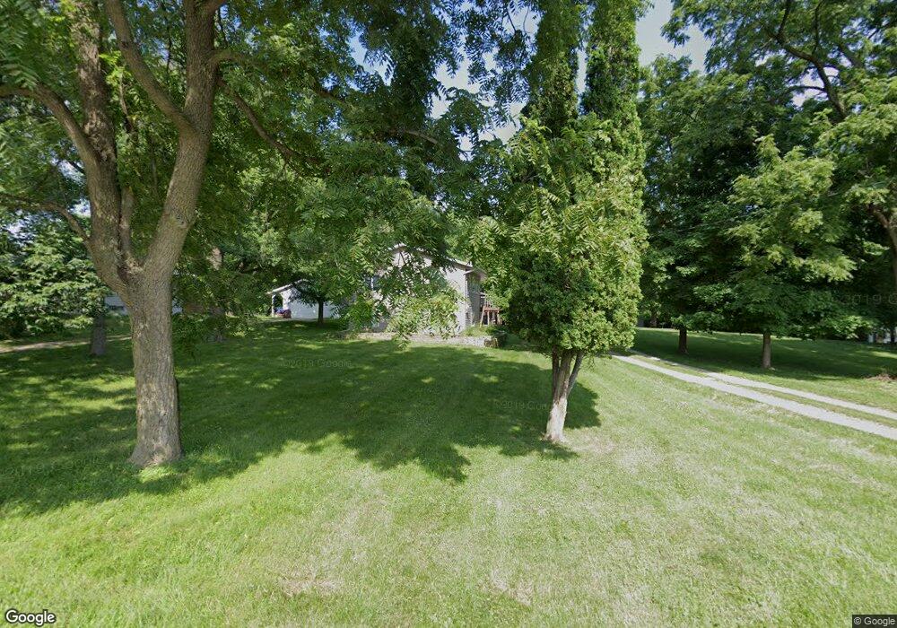
2020 High Dr SE Cedar Rapids, IA 52403
Cedar Valley NeighborhoodEstimated Value: $188,000 - $270,879
4
Beds
2
Baths
1,040
Sq Ft
$237/Sq Ft
Est. Value
About This Home
This home is located at 2020 High Dr SE, Cedar Rapids, IA 52403 and is currently estimated at $246,970, approximately $237 per square foot. 2020 High Dr SE is a home located in Linn County with nearby schools including Summit Elementary School, Erskine Elementary School, and McKinley STEAM Academy.
Ownership History
Date
Name
Owned For
Owner Type
Purchase Details
Closed on
Feb 22, 2005
Sold by
Va
Bought by
Ahrendsen Robert J
Current Estimated Value
Home Financials for this Owner
Home Financials are based on the most recent Mortgage that was taken out on this home.
Original Mortgage
$100,800
Outstanding Balance
$51,100
Interest Rate
5.71%
Mortgage Type
Unknown
Estimated Equity
$195,870
Purchase Details
Closed on
Feb 28, 2000
Sold by
Cole Michael D and Cole Kathy W
Bought by
Cole Michael D and Cole Kathy W
Create a Home Valuation Report for This Property
The Home Valuation Report is an in-depth analysis detailing your home's value as well as a comparison with similar homes in the area
Home Values in the Area
Average Home Value in this Area
Purchase History
| Date | Buyer | Sale Price | Title Company |
|---|---|---|---|
| Ahrendsen Robert J | -- | -- | |
| Cole Michael D | -- | -- |
Source: Public Records
Mortgage History
| Date | Status | Borrower | Loan Amount |
|---|---|---|---|
| Open | Ahrendsen Robert J | $100,800 |
Source: Public Records
Tax History Compared to Growth
Tax History
| Year | Tax Paid | Tax Assessment Tax Assessment Total Assessment is a certain percentage of the fair market value that is determined by local assessors to be the total taxable value of land and additions on the property. | Land | Improvement |
|---|---|---|---|---|
| 2025 | $3,906 | $263,300 | $58,200 | $205,100 |
| 2024 | $4,526 | $254,100 | $51,800 | $202,300 |
| 2023 | $4,526 | $231,200 | $45,300 | $185,900 |
| 2022 | $4,120 | $223,500 | $45,300 | $178,200 |
| 2021 | $4,166 | $207,800 | $45,300 | $162,500 |
| 2020 | $4,166 | $197,400 | $25,900 | $171,500 |
| 2019 | $3,676 | $179,100 | $25,900 | $153,200 |
| 2018 | $3,572 | $179,100 | $25,900 | $153,200 |
| 2017 | $3,537 | $175,200 | $25,900 | $149,300 |
| 2016 | $3,537 | $166,400 | $25,900 | $140,500 |
| 2015 | $3,615 | $169,869 | $25,875 | $143,994 |
| 2014 | $3,430 | $169,869 | $25,875 | $143,994 |
| 2013 | $3,352 | $169,869 | $25,875 | $143,994 |
Source: Public Records
Map
Nearby Homes
- 0 Rompot St SE
- 1440 Parkwood Dr SE
- 1341 Memorial Dr SE
- 1521 Oak Ridge Ln SE Unit 3
- Lot 38 Kestrel Dr SE
- Lot 51 Kestrel Dr SE
- Lot 48 Kestrel Dr SE
- Lot 43 Kestrel Dr SE
- Lot 44 Kestrel Dr SE
- Lot 46 Kestrel Dr SE
- Lot 53 Kestrel Dr SE
- Lot 49 Kestrel Dr SE
- Lot 50 Kestrel Dr SE
- Lot 52 Kestrel Dr SE
- 1737 14th Ave SE
- 3115 Peregrine Ct SE
- 1158 28th St SE
- 2426 Kestrel Dr SE
- 1052 20th St SE
- 1135 Crestview Dr SE
- 2036 High Dr SE
- 2010 High Dr SE
- 2015 High Dr SE
- 2002 High Dr SE
- 2045 High Dr SE
- 2232 Pine Ave SE
- 2076 High Dr SE
- 2224 Pine Ave SE
- LOT 96* Pine Ave SE
- 2065 High Dr SE
- 2075 High Dr SE
- 2209 Pine Ave SE
- 2082 High Dr SE
- 2212 Pine Ave SE
- 2040 Riverview St SE
- LOT101 High Dr SE
- 0 Lot 101 High Dr SE Unit 2903158
- LOT 101 High Dr SE
- 2086 High Dr SE
- 2087 High Dr SE