Estimated Value: $188,704 - $743,000
--
Bed
--
Bath
--
Sq Ft
8,015
Sq Ft Lot
About This Home
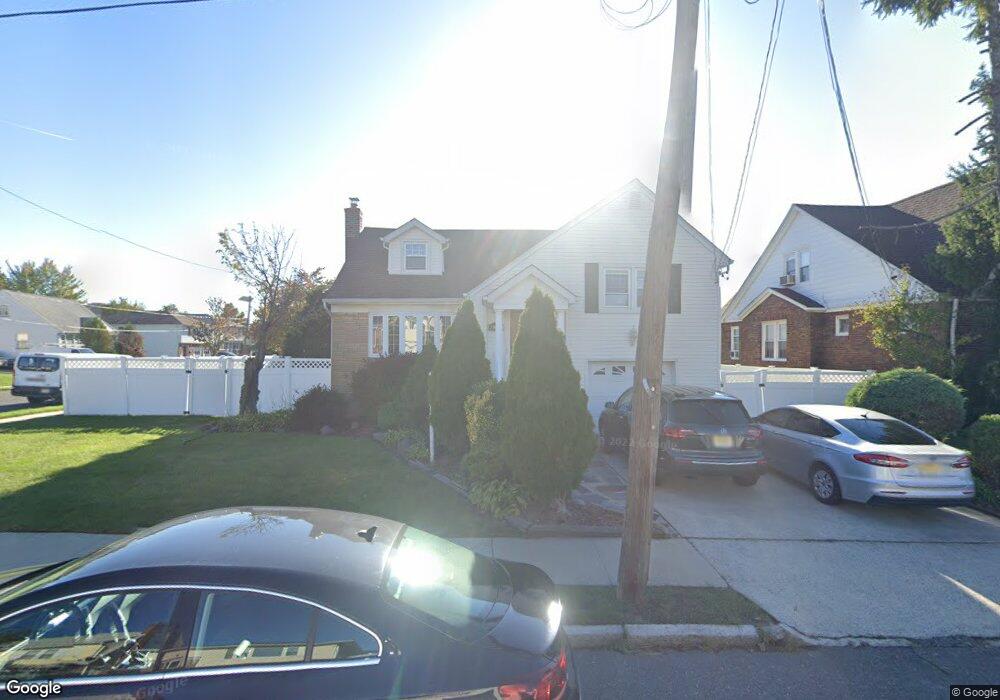
This home is located at 2020 High St, Union, NJ 07083 and is currently estimated at $502,176. 2020 High St is a home located in Union County with nearby schools including Connecticut Farms Elementary School, Union High School, and St Michael Parish School.
Ownership History
Date
Name
Owned For
Owner Type
Purchase Details
Closed on
Mar 15, 1999
Sold by
Costa Euclides and Costa Maria
Bought by
Conceicao Armando and Conceicao Elizabeth
Current Estimated Value
Home Financials for this Owner
Home Financials are based on the most recent Mortgage that was taken out on this home.
Original Mortgage
$100,000
Interest Rate
6.39%
Mortgage Type
Stand Alone First
Create a Home Valuation Report for This Property
The Home Valuation Report is an in-depth analysis detailing your home's value as well as a comparison with similar homes in the area
Home Values in the Area
Average Home Value in this Area
Purchase History
| Date | Buyer | Sale Price | Title Company |
|---|---|---|---|
| Conceicao Armando | $178,000 | -- |
Source: Public Records
Mortgage History
| Date | Status | Borrower | Loan Amount |
|---|---|---|---|
| Closed | Conceicao Armando | $100,000 |
Source: Public Records
Tax History Compared to Growth
Tax History
| Year | Tax Paid | Tax Assessment Tax Assessment Total Assessment is a certain percentage of the fair market value that is determined by local assessors to be the total taxable value of land and additions on the property. | Land | Improvement |
|---|---|---|---|---|
| 2025 | $11,243 | $50,300 | $22,400 | $27,900 |
| 2024 | $10,900 | $50,300 | $22,400 | $27,900 |
| 2023 | $10,900 | $50,300 | $22,400 | $27,900 |
| 2022 | $10,521 | $50,300 | $22,400 | $27,900 |
| 2021 | $10,266 | $50,300 | $22,400 | $27,900 |
| 2020 | $10,061 | $50,300 | $22,400 | $27,900 |
| 2019 | $9,926 | $50,300 | $22,400 | $27,900 |
| 2018 | $9,757 | $50,300 | $22,400 | $27,900 |
| 2017 | $9,612 | $50,300 | $22,400 | $27,900 |
| 2016 | $9,378 | $50,300 | $22,400 | $27,900 |
| 2015 | $9,223 | $50,300 | $22,400 | $27,900 |
| 2014 | $9,016 | $50,300 | $22,400 | $27,900 |
Source: Public Records
Map
Nearby Homes
- 1249 Plane St
- 2010 Gless Ave
- 1244 Grandview Ave
- 2112 Gless Ave
- 1084 Pine Ave
- 1329 Camden Ct
- 1231 Glenn Ave
- 1035 Pine Ave
- 1263 Coolidge Ave
- 7 Jessica Ln
- 2021 Tyler St
- 1287 Oxford Ln
- 2144 Tyler St
- 1239 Victor Ave
- 1893 Arbor Ln
- 1265 Shetland Dr
- 1871 Pilgrim Way
- 2159 Berwyn St
- 152 Glenwood Ct
- 1396 Orange Ave
- 2026 High St
- 1242 Kirkman Place
- 1238 Kirkman Place
- 1257 Plane St
- 1253 Plane St
- 1236 Kirkman Place
- 2021 High St
- 2019 High St
- 2027 High St
- 1241 Kirkman Place
- 1245 Plane St
- 2015 High St
- 2031 High St
- 2035 High St
- 1234 Kirkman Place
- 1243 Plane St
- 2009 High St
- 2035 High St
- 1239 Plane St
- 1230 Kirkman Place