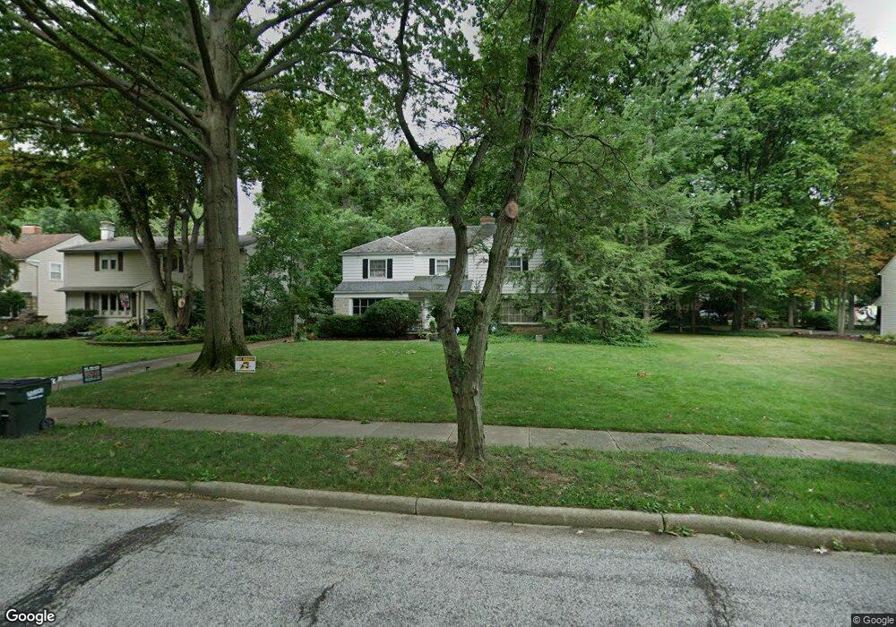
2020 Laurel Hill Dr Cleveland, OH 44121
Estimated Value: $291,000 - $353,000
4
Beds
3
Baths
2,789
Sq Ft
$115/Sq Ft
Est. Value
About This Home
This home is located at 2020 Laurel Hill Dr, Cleveland, OH 44121 and is currently estimated at $321,692, approximately $115 per square foot. 2020 Laurel Hill Dr is a home located in Cuyahoga County with nearby schools including Rowland Elementary School, Greenview Upper Elementary School, and Memorial Junior High School.
Ownership History
Date
Name
Owned For
Owner Type
Purchase Details
Closed on
Apr 15, 2003
Sold by
Hammer Alfred J and Hammer Karen A
Bought by
Goldstein Stephen J and Euton Goldstein Mia M
Current Estimated Value
Home Financials for this Owner
Home Financials are based on the most recent Mortgage that was taken out on this home.
Original Mortgage
$227,950
Outstanding Balance
$97,998
Interest Rate
5.76%
Estimated Equity
$223,694
Purchase Details
Closed on
Nov 18, 1980
Sold by
Siegler Norma C
Bought by
Hammer Ii Alfred J
Purchase Details
Closed on
Aug 14, 1980
Sold by
Siegler Nelson A and G M
Bought by
Siegler Norma C
Purchase Details
Closed on
Jan 1, 1975
Bought by
Siegler Nelson A and G M
Create a Home Valuation Report for This Property
The Home Valuation Report is an in-depth analysis detailing your home's value as well as a comparison with similar homes in the area
Home Values in the Area
Average Home Value in this Area
Purchase History
| Date | Buyer | Sale Price | Title Company |
|---|---|---|---|
| Goldstein Stephen J | $235,000 | Millennium Title Agency Ltd | |
| Hammer Ii Alfred J | $110,000 | -- | |
| Siegler Norma C | $17,200 | -- | |
| Siegler Nelson A | -- | -- |
Source: Public Records
Mortgage History
| Date | Status | Borrower | Loan Amount |
|---|---|---|---|
| Open | Goldstein Stephen J | $227,950 |
Source: Public Records
Tax History Compared to Growth
Tax History
| Year | Tax Paid | Tax Assessment Tax Assessment Total Assessment is a certain percentage of the fair market value that is determined by local assessors to be the total taxable value of land and additions on the property. | Land | Improvement |
|---|---|---|---|---|
| 2024 | $7,158 | $96,250 | $14,350 | $81,900 |
| 2023 | $7,531 | $81,900 | $12,390 | $69,510 |
| 2022 | $7,490 | $81,900 | $12,390 | $69,510 |
| 2021 | $7,430 | $81,900 | $12,390 | $69,510 |
| 2020 | $7,334 | $70,600 | $10,680 | $59,920 |
| 2019 | $6,674 | $201,700 | $30,500 | $171,200 |
| 2018 | $6,613 | $70,600 | $10,680 | $59,920 |
| 2017 | $6,799 | $66,330 | $10,330 | $56,000 |
| 2016 | $6,754 | $66,330 | $10,330 | $56,000 |
| 2015 | $6,543 | $66,330 | $10,330 | $56,000 |
| 2014 | $6,543 | $66,330 | $10,330 | $56,000 |
Source: Public Records
Map
Nearby Homes
- 1940 Temblethurst Rd
- 2091 S Belvoir Blvd
- 4249 Wyncote Rd
- 2108 S Belvoir Blvd
- 1895 Temblethurst Rd
- 2015 S Green Rd
- 4237 Verona Rd
- 4206 Verona Rd
- 4194 Stilmore Rd
- 4197 Okalona Rd
- 14213 Cedar Rd
- 4210 Stonehaven Rd
- 4158 Wyncote Rd
- 4532 Mackall Rd
- 4233 Bayard Rd
- 1796 S Green Rd
- 1884 Maywood Rd
- 4521 Golfway Rd
- 2243 Wrenford Rd
- 4586 Greenwold Rd
- 2028 Laurel Hill Dr
- 2032 Laurel Hill Dr
- 2008 Laurel Hill Dr
- 2019 Temblethurst Rd
- 2011 Temblethurst Rd
- 2031 Temblethurst Rd
- 2036 Laurel Hill Dr
- 2007 Temblethurst Rd
- 2037 Temblethurst Rd
- 2019 Laurel Hill Dr
- 2011 Laurel Hill Dr
- 2043 Temblethurst Rd
- 2044 Laurel Hill Dr
- 1994 Laurel Hill Dr
- 2003 Laurel Hill Dr
- 2047 Temblethurst Rd
- 1993 Temblethurst Rd
- 2048 Laurel Hill Dr
- 2053 Temblethurst Rd
- 1993 Laurel Hill Dr