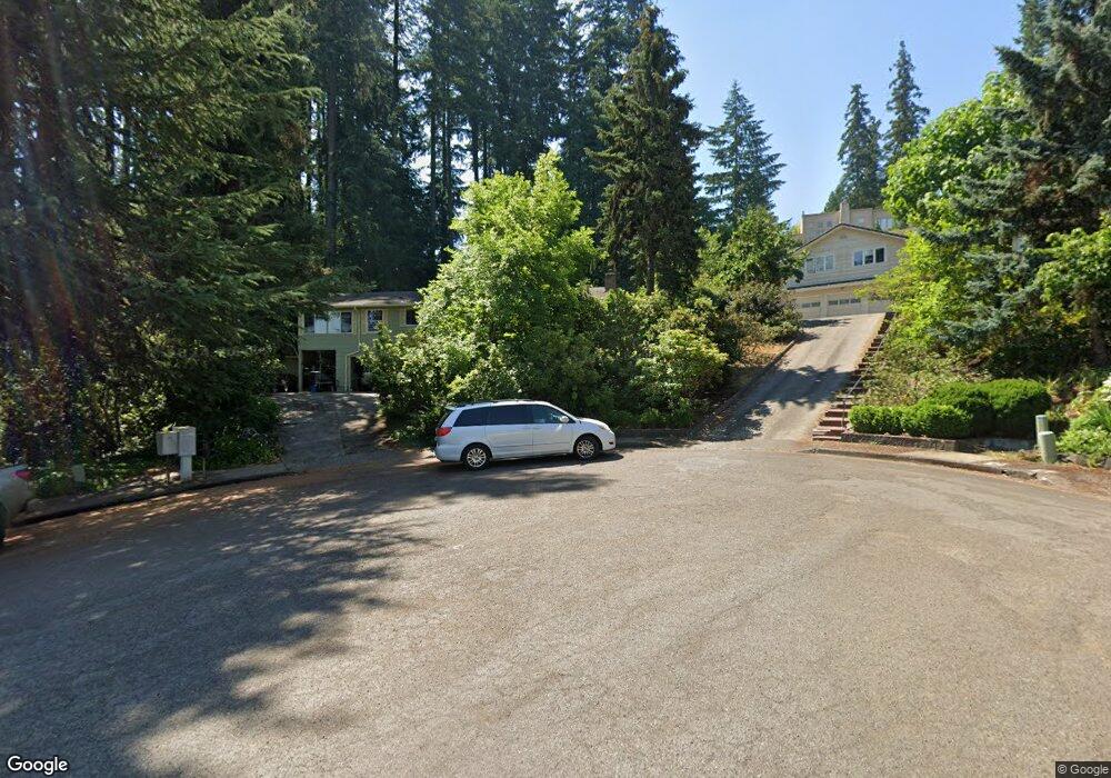
2020 Mclean Blvd Eugene, OR 97405
Crest Drive NeighborhoodEstimated Value: $501,144 - $547,000
3
Beds
2
Baths
1,612
Sq Ft
$328/Sq Ft
Est. Value
About This Home
This home is located at 2020 Mclean Blvd, Eugene, OR 97405 and is currently estimated at $529,286, approximately $328 per square foot. 2020 Mclean Blvd is a home located in Lane County with nearby schools including Adams Elementary School, Arts And Technology Academy At Jefferson, and Churchill High School.
Ownership History
Date
Name
Owned For
Owner Type
Purchase Details
Closed on
Nov 10, 1998
Sold by
Leblanc Joyce A
Bought by
Taylor Theodore J and Linebarger Taylor Julia
Current Estimated Value
Home Financials for this Owner
Home Financials are based on the most recent Mortgage that was taken out on this home.
Original Mortgage
$153,000
Outstanding Balance
$31,665
Interest Rate
6.54%
Estimated Equity
$497,621
Create a Home Valuation Report for This Property
The Home Valuation Report is an in-depth analysis detailing your home's value as well as a comparison with similar homes in the area
Home Values in the Area
Average Home Value in this Area
Purchase History
| Date | Buyer | Sale Price | Title Company |
|---|---|---|---|
| Taylor Theodore J | $180,000 | Title Guaranty Company |
Source: Public Records
Mortgage History
| Date | Status | Borrower | Loan Amount |
|---|---|---|---|
| Open | Taylor Theodore J | $153,000 |
Source: Public Records
Tax History
| Year | Tax Paid | Tax Assessment Tax Assessment Total Assessment is a certain percentage of the fair market value that is determined by local assessors to be the total taxable value of land and additions on the property. | Land | Improvement |
|---|---|---|---|---|
| 2025 | $5,526 | $315,172 | -- | -- |
| 2024 | $5,457 | $305,993 | -- | -- |
| 2023 | $5,457 | $297,081 | $0 | $0 |
| 2022 | $5,112 | $288,429 | $0 | $0 |
| 2021 | $4,802 | $280,029 | $0 | $0 |
| 2020 | $4,753 | $271,873 | $0 | $0 |
| 2019 | $4,539 | $263,955 | $0 | $0 |
| 2018 | $4,219 | $248,803 | $0 | $0 |
| 2017 | $3,964 | $248,803 | $0 | $0 |
| 2016 | $3,840 | $241,556 | $0 | $0 |
| 2015 | $3,726 | $234,520 | $0 | $0 |
| 2014 | $3,632 | $227,689 | $0 | $0 |
Source: Public Records
Map
Nearby Homes
- 3023 Ashley Loop
- 1783 Graham Dr
- 3093 Soloman Loop
- 2850 Garfield St
- 0 Mclean Blvd Unit 24671448
- 0 Mclean Blvd Unit 697374759
- 2030 W 34th Ave
- 2673 Garfield St
- 2225 W 28th Ave
- 2455 W 29th Ave
- 2037 Morning View Dr
- 2315 W 28th Ave
- 2323 W 28th Ave
- 2572 W 28th Ave
- 3087 Whitbeck Blvd
- 2430 Wilson Dr
- 2490 Panorama Dr
- 2736 Kismet Way
- 2870 Hawkins Ln
- 3160 Whitten Dr
- 2030 Mclean Blvd
- 2016 Mclean Blvd
- 2282 Mclean Blvd
- 2040 Mclean Blvd
- 2050 Mclean Blvd
- 2012 Mclean Blvd
- 2060 Mclean Blvd
- 2310 Park Ridge Ln
- 2272 Mclean Blvd
- 1950 Mclean Blvd
- 2002 Mclean Blvd
- 2150 Mclean Blvd
- 2070 Mclean Blvd
- 2164 Mclean Blvd
- 2330 Park Ridge Ln
- 2270 Mclean Blvd
- 0 Park Ridge Ln
- 2080 Mclean Blvd
- 2298 Mclean Blvd
- 2140 Mclean Blvd
Your Personal Tour Guide
Ask me questions while you tour the home.