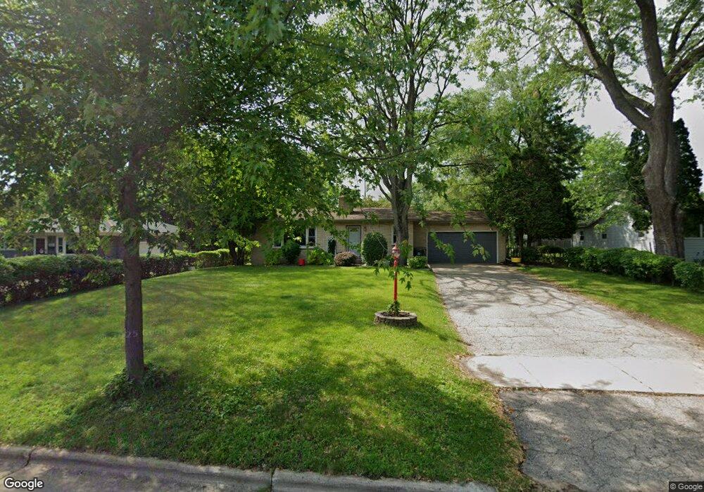
2020 Rae Ln Madison, WI 53711
Meadowood NeighborhoodEstimated Value: $398,264 - $430,000
4
Beds
2
Baths
2,356
Sq Ft
$176/Sq Ft
Est. Value
About This Home
This home is located at 2020 Rae Ln, Madison, WI 53711 and is currently estimated at $414,566, approximately $175 per square foot. 2020 Rae Ln is a home located in Dane County with nearby schools including Huegel Elementary School, Toki Middle School, and Vel Phillips Memorial High School.
Ownership History
Date
Name
Owned For
Owner Type
Purchase Details
Closed on
Sep 4, 2020
Sold by
Adam Joseph M and Adam Diane S
Bought by
Adam Joseph M
Current Estimated Value
Home Financials for this Owner
Home Financials are based on the most recent Mortgage that was taken out on this home.
Original Mortgage
$220,000
Interest Rate
2.9%
Mortgage Type
New Conventional
Create a Home Valuation Report for This Property
The Home Valuation Report is an in-depth analysis detailing your home's value as well as a comparison with similar homes in the area
Home Values in the Area
Average Home Value in this Area
Purchase History
| Date | Buyer | Sale Price | Title Company |
|---|---|---|---|
| Adam Joseph M | -- | None Available |
Source: Public Records
Mortgage History
| Date | Status | Borrower | Loan Amount |
|---|---|---|---|
| Closed | Adam Joseph M | $220,000 |
Source: Public Records
Tax History
| Year | Tax Paid | Tax Assessment Tax Assessment Total Assessment is a certain percentage of the fair market value that is determined by local assessors to be the total taxable value of land and additions on the property. | Land | Improvement |
|---|---|---|---|---|
| 2024 | $11,983 | $353,700 | $101,200 | $252,500 |
| 2023 | $5,460 | $321,500 | $92,000 | $229,500 |
| 2022 | $10,549 | $284,500 | $81,400 | $203,100 |
| 2021 | $5,171 | $258,600 | $74,000 | $184,600 |
| 2020 | $5,034 | $236,200 | $67,600 | $168,600 |
| 2019 | $5,464 | $222,800 | $63,800 | $159,000 |
| 2018 | $4,968 | $208,200 | $59,600 | $148,600 |
| 2017 | $4,483 | $187,600 | $59,600 | $128,000 |
| 2016 | $4,475 | $178,700 | $59,600 | $119,100 |
| 2015 | $4,037 | $171,800 | $58,400 | $113,400 |
| 2014 | $3,953 | $171,800 | $58,400 | $113,400 |
| 2013 | $3,989 | $171,800 | $58,400 | $113,400 |
Source: Public Records
Map
Nearby Homes
- 6013 Raymond Rd
- 5837 Raymond Rd
- 6401 Raymond Rd
- 1602 Redwood Ln
- 5710 Russett Rd
- 5701 Bartlett Ln
- 2102 Manor Green Dr
- 2502 Sara Rd
- 5602 Raymond Rd
- 5704 Richmond Dr
- 2309 Mckenna Blvd
- 2567 Petersburg Cir
- 2601 Mckenna Blvd
- 5314 Kroncke Dr
- 6806 Raymond Rd Unit 101
- 1 Maple View Ct
- 28 Deer Point Trail
- 6104 Davenport Dr
- 3122 Dorchester Way Unit 6
- 2901 Shefford Dr
Your Personal Tour Guide
Ask me questions while you tour the home.