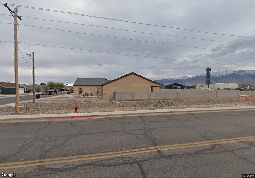
2020 S Mason Way Safford, AZ 85546
Estimated Value: $509,077 - $588,000
--
Bed
--
Bath
2,799
Sq Ft
$189/Sq Ft
Est. Value
About This Home
This home is located at 2020 S Mason Way, Safford, AZ 85546 and is currently estimated at $529,269, approximately $189 per square foot. 2020 S Mason Way is a home with nearby schools including Dorothy Stinson School, Ruth Powell Elementary School, and Lafe Nelson School.
Ownership History
Date
Name
Owned For
Owner Type
Purchase Details
Closed on
Apr 23, 2024
Sold by
Allred Frances A
Bought by
Ornelas Charles A and Ornelas Kimberly D
Current Estimated Value
Purchase Details
Closed on
Feb 2, 2021
Sold by
Allred Frances A
Bought by
Ornelas Charles A and Ornelas Kimberly D
Purchase Details
Closed on
Jan 3, 2013
Sold by
Jjl Design & Build Llc
Bought by
Allred Jon W and Allred Frances A
Create a Home Valuation Report for This Property
The Home Valuation Report is an in-depth analysis detailing your home's value as well as a comparison with similar homes in the area
Home Values in the Area
Average Home Value in this Area
Purchase History
| Date | Buyer | Sale Price | Title Company |
|---|---|---|---|
| Ornelas Charles A | -- | None Listed On Document | |
| Ornelas Charles A | -- | None Listed On Document | |
| Ornelas Kimberly | -- | None Available | |
| Allred Jon W | $281,581 | Safford Title Agency |
Source: Public Records
Tax History Compared to Growth
Tax History
| Year | Tax Paid | Tax Assessment Tax Assessment Total Assessment is a certain percentage of the fair market value that is determined by local assessors to be the total taxable value of land and additions on the property. | Land | Improvement |
|---|---|---|---|---|
| 2026 | $2,077 | -- | -- | -- |
| 2025 | $2,077 | $40,681 | $3,001 | $37,680 |
| 2024 | $2,158 | $37,660 | $3,001 | $34,659 |
| 2023 | $2,158 | $29,768 | $3,001 | $26,767 |
| 2022 | $2,116 | $26,269 | $3,001 | $23,268 |
| 2021 | $2,371 | $0 | $0 | $0 |
| 2020 | $2,281 | $0 | $0 | $0 |
| 2019 | $2,401 | $0 | $0 | $0 |
| 2018 | $2,407 | $0 | $0 | $0 |
| 2017 | $2,155 | $0 | $0 | $0 |
| 2016 | $1,979 | $0 | $0 | $0 |
| 2015 | $1,807 | $0 | $0 | $0 |
Source: Public Records
Map
Nearby Homes
- 550 W Burrell Ln
- 315 W 24th St
- 1006 W Palm Cir
- 832 W Stirrup Dr
- 514 W 15th St
- 2555 S 8th Ave
- 1785 Camilla Cir
- 222 E 20th St
- 1609 S 12th Ave
- 1313 S 6th Ave
- 10 Santa fe Place
- 1302 S 7th Ave
- 120 Relation St Unit 2
- 400 E Observatory St
- 1309 S Bingham Place
- 1217 S 7th Ave
- 1382 W 19th St
- 417 E Lone Star Rd
- 1115 W Relation St
- 1210 S 1st Ave
- 2050 S Mason Way
- 2015 S Mason Way
- 2303 S 4th Ave
- 2080 S Mason Way
- 2045 S Mason Way
- 2075 S Mason Way
- 487 W 20th St
- 2100 S Mason Way
- 2160 S Mason Way
- 2115 S Mason Way
- 1998 S Willow Ave
- 475 W 20th St
- 2155 S Mason Way
- 609 W Luna St
- 2190 S Mason Way
- 613 W Luna St
- 2195 S Mason Way
- 1990 S Central Ave
- 617 W Luna St
- 570 W Burrell Ln