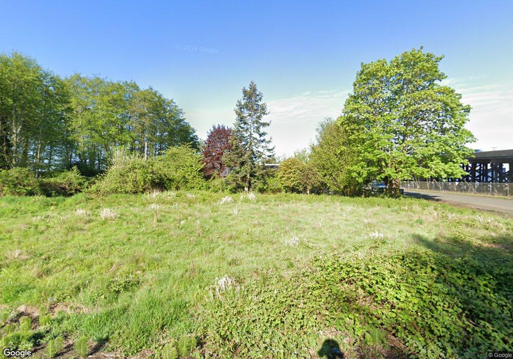
2020 Simpson Ave Hoquiam, WA 98550
Estimated Value: $190,000
4
Beds
3
Baths
2,502
Sq Ft
$76/Sq Ft
Est. Value
About This Home
This home is located at 2020 Simpson Ave, Hoquiam, WA 98550 and is currently estimated at $190,000, approximately $75 per square foot. 2020 Simpson Ave is a home located in Grays Harbor County with nearby schools including Lincoln Elementary School, Emerson Elementary School, and Central Elementary School.
Ownership History
Date
Name
Owned For
Owner Type
Purchase Details
Closed on
Dec 4, 2020
Sold by
Grays Harbor County
Bought by
City Of Hoquiam
Current Estimated Value
Purchase Details
Closed on
May 3, 2018
Sold by
Johnson Mark L and Johnson Susan E
Bought by
Tc Management Group Inc and Cya Land Holdings
Purchase Details
Closed on
May 8, 2008
Sold by
Carew Budd and Carew Phyllis E
Bought by
Johnson Mark A and Johnson Susan E
Home Financials for this Owner
Home Financials are based on the most recent Mortgage that was taken out on this home.
Original Mortgage
$50,600
Interest Rate
5.8%
Mortgage Type
Commercial
Purchase Details
Closed on
Jan 30, 2007
Sold by
Wells Fargo Bank Na
Bought by
Johnson Mark and Johnson Susan
Home Financials for this Owner
Home Financials are based on the most recent Mortgage that was taken out on this home.
Original Mortgage
$104,500
Interest Rate
6.11%
Mortgage Type
Commercial
Create a Home Valuation Report for This Property
The Home Valuation Report is an in-depth analysis detailing your home's value as well as a comparison with similar homes in the area
Home Values in the Area
Average Home Value in this Area
Purchase History
| Date | Buyer | Sale Price | Title Company |
|---|---|---|---|
| City Of Hoquiam | -- | None Listed On Document | |
| Tc Management Group Inc | -- | None Available | |
| Johnson Mark A | $40,000 | Grays Harbor Title | |
| Johnson Mark | $95,000 | Grays Harbor Title |
Source: Public Records
Mortgage History
| Date | Status | Borrower | Loan Amount |
|---|---|---|---|
| Previous Owner | Johnson Mark A | $50,600 | |
| Previous Owner | Johnson Mark | $104,500 |
Source: Public Records
Tax History Compared to Growth
Tax History
| Year | Tax Paid | Tax Assessment Tax Assessment Total Assessment is a certain percentage of the fair market value that is determined by local assessors to be the total taxable value of land and additions on the property. | Land | Improvement |
|---|---|---|---|---|
| 2025 | -- | $43,350 | $43,350 | -- |
| 2023 | $0 | $43,350 | $43,350 | $0 |
| 2022 | $0 | $30,600 | $30,600 | $0 |
| 2021 | $0 | $30,600 | $30,600 | $0 |
| 2020 | $1,210 | $99,924 | $20,400 | $79,524 |
| 2019 | $1,008 | $86,670 | $20,400 | $66,270 |
| 2018 | $1,307 | $75,625 | $20,400 | $55,225 |
| 2017 | $1,246 | $82,250 | $20,400 | $61,850 |
| 2016 | $982 | $82,250 | $20,400 | $61,850 |
| 2014 | -- | $65,235 | $20,400 | $44,835 |
| 2013 | -- | $65,610 | $20,400 | $45,210 |
Source: Public Records
Map
Nearby Homes
- 0 Summerhaven Development Unit NWM2344482
- 2218 Sumner Ave
- 2214 Pacific Ave
- 2307 Aberdeen Ave
- 115 Beacon Hill Dr
- 2420 Simpson Ave
- 2420 Aberdeen Ave
- 1020 J St
- 0 Beacon Hill Dr Unit NWM2404909
- 410 11th St
- 316 Beacon Hill Dr
- 300 Beacon Hill Dr
- 2515 Sumner Ave
- 110 Ontario St
- 215 Ontario St
- 522 10th St
- 504 9th St
- 1410 C St
- 2621 Sumner Ave
- 1309 Riverside Ave
- 2016 Simpson Ave
- 419 21st St
- 2023 Simpson Ave
- 2101 Simpson Ave
- 2111 Aberdeen Ave
- 2002 Simpson Ave
- 2115 Aberdeen Ave
- 2117 Simpson Ave
- 2022 Sumner Ave
- 2010 Sumner Ave
- 2124 Simpson Ave
- 2104 Sumner Ave
- 2004 Sumner Ave
- 2106 Sumner Ave
- 2006 Sumner Ave
- 2112 Sumner Ave
- 2116 Sumner Ave
- 312 22nd St
- 2120 Sumner Ave
