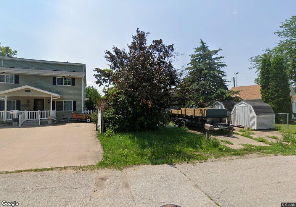
2020 Sterneman Blvd Muscatine, IA 52761
Estimated Value: $115,000 - $126,000
3
Beds
1
Bath
1,003
Sq Ft
$120/Sq Ft
Est. Value
About This Home
This home is located at 2020 Sterneman Blvd, Muscatine, IA 52761 and is currently estimated at $120,774, approximately $120 per square foot. 2020 Sterneman Blvd is a home located in Muscatine County with nearby schools including Franklin Elementary School, Susan Clark Junior High School, and Muscatine High School.
Ownership History
Date
Name
Owned For
Owner Type
Purchase Details
Closed on
Oct 3, 2024
Sold by
Haney Jackson A
Bought by
Billick Kole E
Current Estimated Value
Home Financials for this Owner
Home Financials are based on the most recent Mortgage that was taken out on this home.
Original Mortgage
$150,000
Outstanding Balance
$148,456
Interest Rate
6.46%
Mortgage Type
Credit Line Revolving
Estimated Equity
-$27,682
Purchase Details
Closed on
May 13, 2024
Sold by
Lynn M Mccalmon Trust and Haney Savanna
Bought by
Haney Jackson A
Purchase Details
Closed on
Jan 16, 2019
Sold by
Mccalmon Lynn M
Bought by
Mccalmon Lynn M and The Lynn M Mccalmon Trust
Create a Home Valuation Report for This Property
The Home Valuation Report is an in-depth analysis detailing your home's value as well as a comparison with similar homes in the area
Home Values in the Area
Average Home Value in this Area
Purchase History
| Date | Buyer | Sale Price | Title Company |
|---|---|---|---|
| Billick Kole E | $39,000 | None Listed On Document | |
| Haney Jackson A | -- | None Listed On Document | |
| Mccalmon Lynn M | -- | None Available |
Source: Public Records
Mortgage History
| Date | Status | Borrower | Loan Amount |
|---|---|---|---|
| Open | Billick Kole E | $150,000 |
Source: Public Records
Tax History Compared to Growth
Tax History
| Year | Tax Paid | Tax Assessment Tax Assessment Total Assessment is a certain percentage of the fair market value that is determined by local assessors to be the total taxable value of land and additions on the property. | Land | Improvement |
|---|---|---|---|---|
| 2025 | $1,628 | $50,120 | $12,700 | $37,420 |
| 2024 | $1,628 | $89,770 | $12,700 | $77,070 |
| 2023 | $1,694 | $91,382 | $12,709 | $78,673 |
| 2022 | $2,130 | $84,210 | $11,990 | $72,220 |
| 2021 | $1,937 | $77,240 | $11,990 | $65,250 |
| 2020 | $1,311 | $73,610 | $11,990 | $61,620 |
| 2019 | $1,106 | $61,850 | $0 | $0 |
| 2018 | $982 | $64,490 | $0 | $0 |
| 2017 | $1,064 | $65,850 | $0 | $0 |
| 2016 | $1,216 | $65,850 | $0 | $0 |
| 2015 | $1,064 | $66,120 | $0 | $0 |
| 2014 | $1,232 | $66,120 | $0 | $0 |
Source: Public Records
Map
Nearby Homes
- 2108 Breese Ave
- 609 Liberty St
- LOTS 30-34 Evans St
- 111 Gilbert St
- 1903 Hershey Ave
- 1827 Hershey Ave
- 0 Parcel 1302108019 (Busch St)
- 1708 Schley Ave
- 1603 Lucas St
- 900 W 3rd St
- 0 High Street Parcel
- 208 Fletcher Ave
- 2207 Lucas St
- 0 Towhead Island Unit 23-716
- 1908 Sampson St
- 1143 Logan St
- 1909 Wallace St
- 701 W Mississippi Dr
- 836 Newell Ave
- 613 W 5th St
- 2022 Sterneman Blvd
- 2016 Sterneman Blvd
- 2012 Sterneman Blvd
- 2009 Oneida Ave
- 1926 Sterneman Blvd
- 521 League St
- 2011 Oneida Ave
- 2007 Oneida Ave
- 1920 Sterneman Blvd
- 2005 Oneida Ave
- 2003 Oneida Ave
- 606 League St
- 1918 Sterneman Blvd
- 1913 Oneida Ave
- 2012 Oneida Ave
- 2010 Oneida Ave
- 2014 Oneida Ave
- 2006 Angle St
- 2008 Oneida Ave
- 2014 Angle St