2020 SW Carlson Rd Topeka, KS 66614
Estimated Value: $414,000 - $668,939
5
Beds
4
Baths
2,253
Sq Ft
$233/Sq Ft
Est. Value
About This Home
This home is located at 2020 SW Carlson Rd, Topeka, KS 66614 and is currently estimated at $524,985, approximately $233 per square foot. 2020 SW Carlson Rd is a home located in Shawnee County with nearby schools including Mission Valley Elementary/Junior High School and Mission Valley Junior/Senior High School.
Ownership History
Date
Name
Owned For
Owner Type
Purchase Details
Closed on
Jul 12, 2013
Sold by
Heim Justin C and Heim Heidi D
Bought by
Carrier Tom L and Carrier Lori J
Current Estimated Value
Purchase Details
Closed on
Oct 26, 2009
Sold by
Crow Cary Norman and Crow Dawn D
Bought by
Heim Justin C and Heim Heidi D
Home Financials for this Owner
Home Financials are based on the most recent Mortgage that was taken out on this home.
Original Mortgage
$42,600
Interest Rate
4.83%
Mortgage Type
Future Advance Clause Open End Mortgage
Create a Home Valuation Report for This Property
The Home Valuation Report is an in-depth analysis detailing your home's value as well as a comparison with similar homes in the area
Home Values in the Area
Average Home Value in this Area
Purchase History
| Date | Buyer | Sale Price | Title Company |
|---|---|---|---|
| Carrier Tom L | -- | None Available | |
| Heim Justin C | -- | Kansas Secured Title |
Source: Public Records
Mortgage History
| Date | Status | Borrower | Loan Amount |
|---|---|---|---|
| Previous Owner | Heim Justin C | $42,600 |
Source: Public Records
Tax History Compared to Growth
Tax History
| Year | Tax Paid | Tax Assessment Tax Assessment Total Assessment is a certain percentage of the fair market value that is determined by local assessors to be the total taxable value of land and additions on the property. | Land | Improvement |
|---|---|---|---|---|
| 2025 | $9,605 | $69,668 | -- | -- |
| 2023 | $9,605 | $64,413 | $0 | $0 |
| 2022 | $8,321 | $57,512 | $0 | $0 |
| 2021 | $7,981 | $54,773 | $0 | $0 |
| 2020 | $7,319 | $52,164 | $0 | $0 |
| 2019 | $6,610 | $47,150 | $0 | $0 |
| 2018 | $6,143 | $43,585 | $0 | $0 |
| 2017 | $1,576 | $11,215 | $0 | $0 |
| 2014 | $539 | $6,662 | $0 | $0 |
Source: Public Records
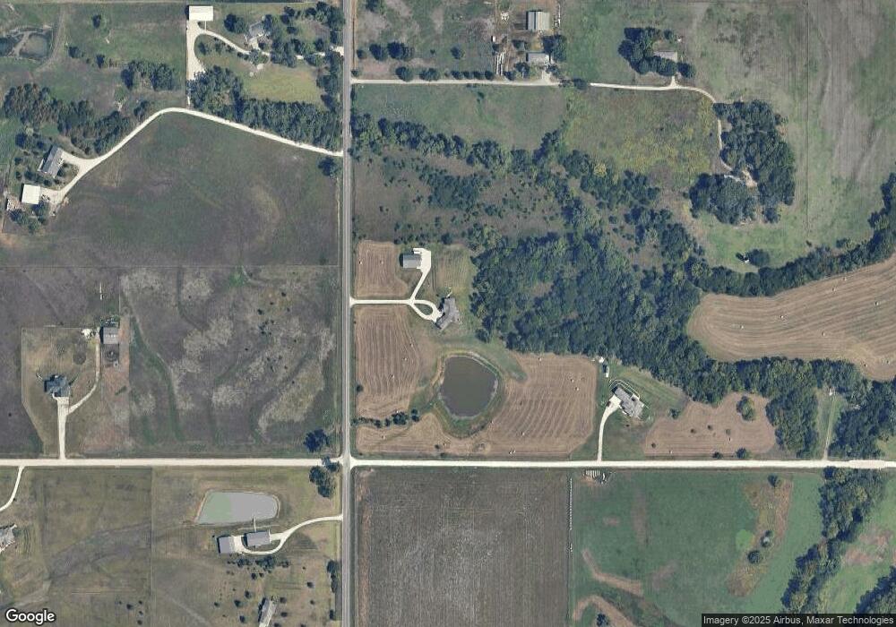
Map
Nearby Homes
- 0 Glacier Rd Unit SUN241974
- 0 Glacier Rd Unit FHR20252898
- Lot 2, Blk B SW 17th St
- Lot 3, Blk A SW Urish Rd
- XXX NW Douglas Rd
- Lot 2 NW Douglas Rd
- Lot 1 NW Douglas Rd
- 26563 W 83rd Terrace
- 0 SW 49th St Unit 24984487
- 0 SW 49th St Unit 24984495
- 8435 Pickering St
- 00000 SW Hoch Rd
- SW Hoch Rd
- 0000 Vera Rd
- 25299 Windy Hill Rd
- SW Hoch Rd
- ooo SW Hays Rd
- 215 & 219 Main St
- 302 Sunset Ln
- 2040 SW Cottonwood Ln
- 13720 SW 21st St
- 2103 SW Carlson Rd
- 1920 SW Carlson Rd
- 2111 SW Carlson Rd
- 1928 SW Carlson Rd
- 1828 SW Carlson Rd
- 2195 SW Carlson Rd
- 1979 SW Carlson Rd
- 13620 SW 21st St
- 1700 SW Carlson Rd
- 10192 Glacier Rd
- 10423 Glacier Rd
- 13534 SW 21st St
- 2426 SW Carlson Rd
- 10426 Glacier Rd
- 2479 SW Carlson Rd
- 10553 Glacier Rd
- 30742 Carlson Rd
- 10608 Glacier Rd
- 2551 SW Carlson Rd