Estimated Value: $194,000 - $708,000
Studio
1
Bath
3,140
Sq Ft
$145/Sq Ft
Est. Value
About This Home
This home is located at 2020 Temple Hill Rd, Erwin, TN 37650 and is currently estimated at $455,316, approximately $145 per square foot. 2020 Temple Hill Rd is a home located in Unicoi County with nearby schools including Unicoi Community Learning Center, Love Chapel Elementary School, and Unicoi County Middle School.
Ownership History
Date
Name
Owned For
Owner Type
Purchase Details
Closed on
Sep 8, 2021
Sold by
English Deborah
Bought by
Nolichucky Property Group Llc
Current Estimated Value
Home Financials for this Owner
Home Financials are based on the most recent Mortgage that was taken out on this home.
Original Mortgage
$350,000
Outstanding Balance
$317,082
Interest Rate
2.8%
Mortgage Type
Land Contract Argmt. Of Sale
Estimated Equity
$138,234
Purchase Details
Closed on
Jun 7, 2018
Sold by
Mountain States Health Alliance
Bought by
English Deborh
Purchase Details
Closed on
Jul 8, 2015
Sold by
English Deborah
Bought by
Mountain States Health Alliance
Purchase Details
Closed on
Jan 28, 2013
Sold by
English Orville
Bought by
English Deborah
Purchase Details
Closed on
Dec 17, 2008
Sold by
Wolf Ridge Ski Realty Inc
Bought by
English Orville
Purchase Details
Closed on
Sep 14, 2007
Sold by
Mountain Enterprises Of Wo
Bought by
Nolichuckey River Farm Inc
Purchase Details
Closed on
Mar 31, 2006
Sold by
Emmett Hampton
Bought by
Mountain Enterprises Of Wolf R
Purchase Details
Closed on
Feb 25, 2006
Sold by
Dawn Burrell Virginia
Bought by
Mountain Enterprises Of Wolf R
Purchase Details
Closed on
Sep 16, 2002
Sold by
Burr Mcdavid Virginia Dawn
Bought by
Mcdavid Jack B
Purchase Details
Closed on
Apr 30, 1999
Sold by
Richard Edwards
Bought by
Charlotte English
Purchase Details
Closed on
Jan 22, 1999
Sold by
Randall Whitson
Bought by
Richard Edwards
Purchase Details
Closed on
Dec 14, 1998
Sold by
Patsy Sams
Bought by
Randall Whitson
Purchase Details
Closed on
Sep 14, 1998
Sold by
Michael Longcrier
Bought by
Patsy Sams
Purchase Details
Closed on
Sep 9, 1998
Sold by
Michael Longcrier
Bought by
Michael Longcrier
Purchase Details
Closed on
Jun 18, 1998
Sold by
Stevens Joey L
Bought by
James Rogers
Create a Home Valuation Report for This Property
The Home Valuation Report is an in-depth analysis detailing your home's value as well as a comparison with similar homes in the area
Home Values in the Area
Average Home Value in this Area
Purchase History
We collect this data history from publicly available records. To have your information removed, we recommend requesting removal directly through your county’s website.
| Date | Buyer | Sale Price | Title Company |
|---|---|---|---|
| Nolichucky Property Group Llc | $450,000 | None Available | |
| Nolichucky Property Group Llc | $580,000 | Debbie Title | |
| English Deborh | $96,544 | None Available | |
| Mountain States Health Alliance | -- | -- | |
| Mountain States Health Alliance | $1,582,486 | -- | |
| English Deborah | -- | -- | |
| English Orville | -- | -- | |
| Nolichuckey River Farm Inc | -- | -- | |
| Mountain Enterprises Of Wolf R | $380,000 | -- | |
| Mountain Enterprises Of Wolf R | $1,600,000 | -- | |
| Mcdavid Jack B | -- | -- | |
| Charlotte English | $4,200 | -- | |
| Richard Edwards | $35,000 | -- | |
| Randall Whitson | $60,000 | -- | |
| Patsy Sams | $32,000 | -- | |
| Michael Longcrier | $55,000 | -- | |
| James Rogers | $82,000 | -- |
Source: Public Records
Mortgage History
We collect this data history from publicly available records. To have your information removed, we recommend requesting removal directly through your county’s website.
| Date | Status | Borrower | Loan Amount |
|---|---|---|---|
| Open | Nolichucky Property Group Llc | $350,000 |
Source: Public Records
Tax History
| Year | Tax Paid | Tax Assessment Tax Assessment Total Assessment is a certain percentage of the fair market value that is determined by local assessors to be the total taxable value of land and additions on the property. | Land | Improvement |
|---|---|---|---|---|
| 2025 | -- | $26,350 | $21,275 | $5,075 |
| 2024 | -- | $126,800 | $85,075 | $41,725 |
| 2023 | $0 | $126,800 | $0 | $0 |
| 2022 | $4,947 | $126,800 | $85,075 | $41,725 |
| 2021 | $4,792 | $101,625 | $67,725 | $33,900 |
| 2020 | $4,180 | $101,625 | $67,725 | $33,900 |
| 2019 | $4,619 | $101,625 | $67,725 | $33,900 |
| 2018 | $4,180 | $100,825 | $66,925 | $33,900 |
| 2017 | $4,165 | $100,825 | $66,925 | $33,900 |
| 2016 | $4,145 | $101,250 | $66,600 | $34,650 |
| 2015 | $4,521 | $120,125 | $0 | $0 |
| 2014 | $4,521 | $120,125 | $0 | $0 |
Source: Public Records
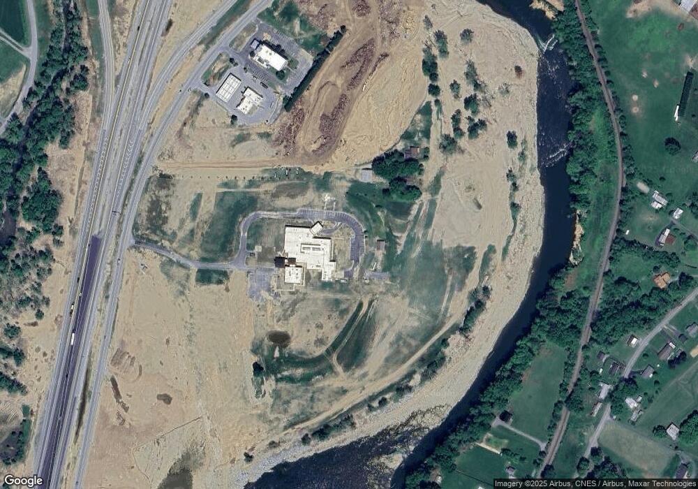
Map
Nearby Homes
- 320 Mountain View St
- 205 Polly Erwin Rd
- 102 Tolley Ln
- Lot 4 Bailey Hollow Rd
- 128 Tyler St
- 154 Sycamore St
- 102 Sycamore and 602 Monroe St
- 80 Jones Rd
- 154 Horton Ridge Rd
- 111 Parsley St
- 143 Horton Ridge Rd
- 144 Ervin Loop
- 638 S Elm Ave
- 631 S Elm Ave
- 630 Vinton Ave
- 639 Ohio Ave
- 524 Carolina Ave
- 530 South St
- Tbd Ray Kegley Rd
- 418 Opekiska St
- 109 Burrell Farm Rd
- 2001 Temple Hill Rd
- Lot 2 Temple Hill Rd
- Lot 1 Temple Hill Rd
- 103&105 Burrell Farm Rd
- 126 Redbanks Rd
- 109 Carey Ln
- 111 Redbanks Rd
- 118 Sierra Dr
- 155 Redbanks Rd
- 1927 Chestoa Pike
- 1931 Chestoa Pike
- 1935 Chestoa Pike
- 117 Sierra Dr
- 1829 Chestoa Pike
- 110 Sierra Dr
- 174 Roy Duncan Ln
- 1928 Chestoa Pike
- 1926 Chestoa Pike
- 101 Carey Ln
Your Personal Tour Guide
Ask me questions while you tour the home.