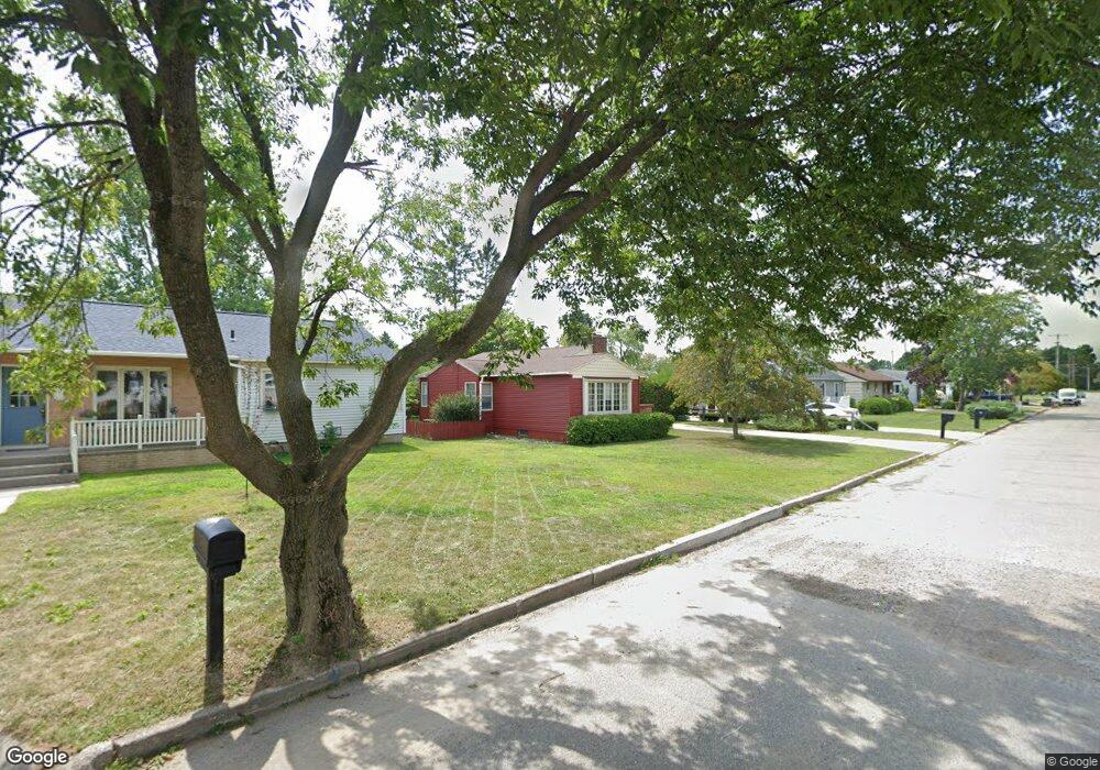
2021 12th Ave S Escanaba, MI 49829
Estimated Value: $156,000 - $374,001
--
Bed
--
Bath
1,547
Sq Ft
$201/Sq Ft
Est. Value
About This Home
This home is located at 2021 12th Ave S, Escanaba, MI 49829 and is currently estimated at $310,250, approximately $200 per square foot. 2021 12th Ave S is a home located in Delta County with nearby schools including Escanaba Jr./Sr. High School, Holy Name Catholic School, and Escanaba Sda School.
Ownership History
Date
Name
Owned For
Owner Type
Purchase Details
Closed on
Sep 5, 2024
Sold by
Lewis Gary
Bought by
Krokstad Martin and Krokstad Jeri Jeri
Current Estimated Value
Purchase Details
Closed on
Apr 25, 2013
Sold by
Olsen Dorothy Mae and Olsen Nancy Anne
Bought by
Rudden David P and Rudden Sharon A
Purchase Details
Closed on
Oct 30, 2000
Sold by
Olsen Dorothy M
Bought by
Olsen Dorothy M Living Trust
Create a Home Valuation Report for This Property
The Home Valuation Report is an in-depth analysis detailing your home's value as well as a comparison with similar homes in the area
Home Values in the Area
Average Home Value in this Area
Purchase History
| Date | Buyer | Sale Price | Title Company |
|---|---|---|---|
| Krokstad Martin | $307,000 | -- | |
| Rudden David P | -- | -- | |
| Olsen Dorothy M Living Trust | -- | -- |
Source: Public Records
Tax History Compared to Growth
Tax History
| Year | Tax Paid | Tax Assessment Tax Assessment Total Assessment is a certain percentage of the fair market value that is determined by local assessors to be the total taxable value of land and additions on the property. | Land | Improvement |
|---|---|---|---|---|
| 2025 | $5,120 | $174,900 | $0 | $0 |
| 2024 | $3,892 | $152,100 | $0 | $0 |
| 2023 | $3,710 | $137,300 | $0 | $0 |
| 2022 | $4,734 | $119,100 | $0 | $0 |
| 2021 | $4,564 | $112,600 | $0 | $0 |
| 2020 | $4,519 | $114,000 | $0 | $0 |
| 2019 | $4,377 | $105,800 | $0 | $0 |
| 2018 | $4,274 | $102,200 | $0 | $0 |
| 2017 | $3,176 | $101,827 | $0 | $0 |
| 2016 | $4,181 | $101,942 | $0 | $0 |
| 2014 | $230 | $57,931 | $0 | $0 |
| 2013 | $230 | $7,360 | $0 | $0 |
Source: Public Records
Map
Nearby Homes
- 2016 13th Ave S
- 1930 S 22nd St
- E4639 E State Highway M35
- 1020 S 18th St
- 1824 9th Ave S
- 1705 S 21st St
- 1115 S 21st St
- 2323 18th Ave S
- 2125 5th Ave S
- 1500 Lake Shore Dr
- 624 S 16th St
- 1125 30th St S
- 1600 S 30th St Unit Lot 152
- 1600 S 30th Lot 22 St
- 430 S 19th St
- 514-516 S 15th
- 2122 3rd Ave S
- 308 S 19th St
- 604 S 11th St
- 1020 7th Ave S
- 2015 12th Ave S
- 2013 12th Ave S
- 2013 12th Ave S
- 2021 12th Ave S
- 2009 12th Ave S
- 2005 12th Ave S
- 2022 12th Ave S
- 2000 12th Ave S
- 2000 12th Ave S
- 2014 13th Ave S
- 2010 13th Ave S
- 2010 13th Ave S Unit S
- 2006 13th Ave S
- 2022 13th Ave S
- 2022 13th Ave S
- 2108 13th Ave S
- 2112 13th Ave S
- 1918 12th Ave S
- 2101 12th Ave S
- 2105 12th Ave S