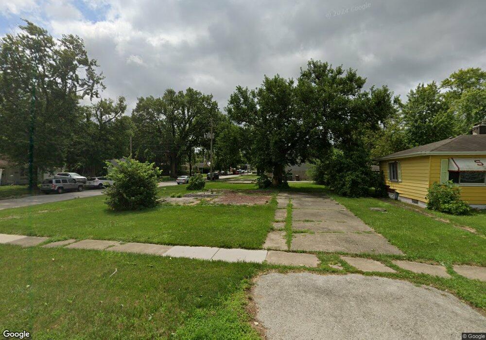
2021 167th St Hazel Crest, IL 60429
Hazel Crest Proper NeighborhoodEstimated Value: $127,000 - $160,000
2
Beds
1
Bath
1,060
Sq Ft
$132/Sq Ft
Est. Value
About This Home
This home is located at 2021 167th St, Hazel Crest, IL 60429 and is currently estimated at $139,653, approximately $131 per square foot. 2021 167th St is a home located in Cook County with nearby schools including Thornwood High School.
Ownership History
Date
Name
Owned For
Owner Type
Purchase Details
Closed on
May 27, 2019
Sold by
Federal Home Loan Mortgage Corporation
Bought by
Sow Community Development Corporation
Current Estimated Value
Purchase Details
Closed on
Feb 5, 2019
Sold by
Mccracklin Patricia
Bought by
Federal Home Loan Mortgage Corp
Purchase Details
Closed on
Jan 9, 2004
Sold by
Church Of Jesus Christ Apostolic
Bought by
Mccracklin Patricia
Create a Home Valuation Report for This Property
The Home Valuation Report is an in-depth analysis detailing your home's value as well as a comparison with similar homes in the area
Home Values in the Area
Average Home Value in this Area
Purchase History
| Date | Buyer | Sale Price | Title Company |
|---|---|---|---|
| Sow Community Development Corporation | $1,500 | Chicago Title | |
| Federal Home Loan Mortgage Corp | -- | Attorney | |
| Mccracklin Patricia | -- | Chicago Title Insurance Comp |
Source: Public Records
Tax History
| Year | Tax Paid | Tax Assessment Tax Assessment Total Assessment is a certain percentage of the fair market value that is determined by local assessors to be the total taxable value of land and additions on the property. | Land | Improvement |
|---|---|---|---|---|
| 2025 | $3,716 | $5,804 | $1,314 | $4,490 |
| 2024 | $3,716 | $5,804 | $1,314 | $4,490 |
| 2023 | $3,046 | $5,804 | $1,314 | $4,490 |
| 2022 | $3,046 | $3,521 | $1,126 | $2,395 |
| 2021 | $2,962 | $3,519 | $1,125 | $2,394 |
| 2020 | $2,776 | $3,519 | $1,125 | $2,394 |
| 2019 | $3,170 | $4,053 | $1,032 | $3,021 |
| 2018 | $3,085 | $4,053 | $1,032 | $3,021 |
| 2017 | $2,984 | $4,053 | $1,032 | $3,021 |
| 2016 | $2,666 | $3,944 | $938 | $3,006 |
| 2015 | $2,586 | $3,944 | $938 | $3,006 |
| 2014 | $2,554 | $3,944 | $938 | $3,006 |
| 2013 | $2,704 | $4,579 | $938 | $3,641 |
Source: Public Records
Map
Nearby Homes
- 16768 Bulger Ave
- 16707 Dixie Hwy
- 16727 Head Ave
- 16840 Bulger Ave
- 16628 Winchester Ave
- 16607 Winchester Ave
- 16784 Crane Ave
- 16876 Head Ave
- 1924 169th St
- 16930 Winchester Ave
- 16841 Anthony Ave
- 16784 Anthony Ave
- 16927 Crane Ave
- 16601 Honore Ave
- 2030 170th St
- 16732 Orchard Ridge Ave
- 16963 Winchester Ave
- 16750 Orchard Ridge Ave
- 2131 170th St
- 17026 Bulger Ave
- 2021 167th St
- 2025 167th St
- 2029 167th St
- 2029 167th St
- 16723 Shea Ave
- 16723 Shea Ave
- 2033 167th St
- 2033 167th St
- 16726 Shea Ave
- 16732 Shea Ave
- 16725 Bulger Ave
- 16723 Bulger Ave
- 16727 Bulger Ave
- 16742 Shea Ave
- 16733 Bulger Ave
- 16733 Shea Ave
- 16744 Shea Ave
- 16743 Shea Ave
- 16750 Shea Ave
- 16745 Bulger Ave