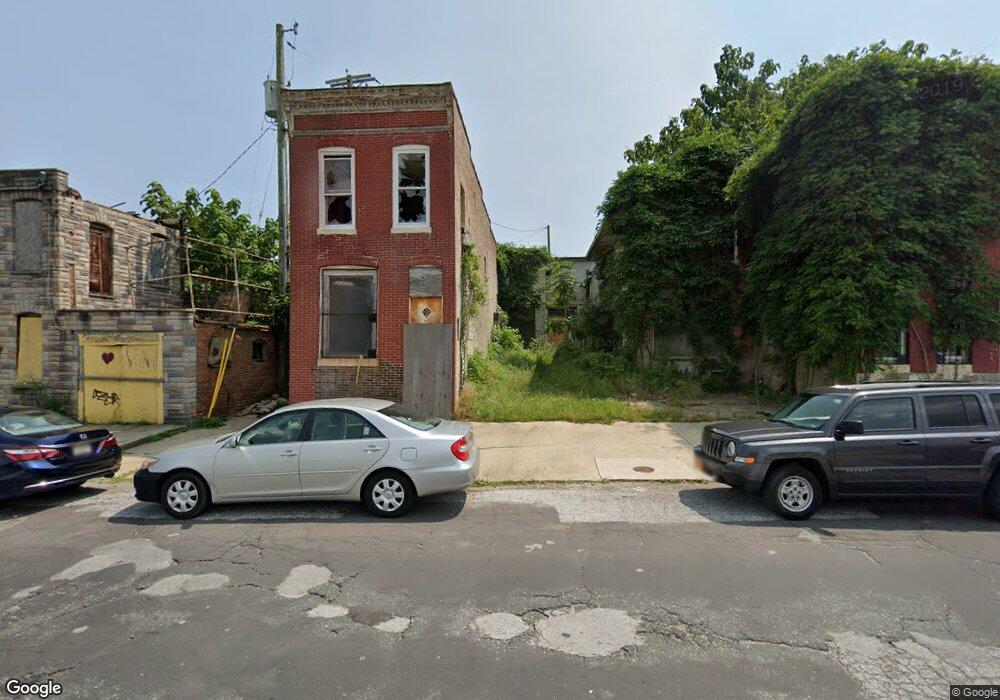
2021 Ashland Ave Baltimore, MD 21205
Middle East NeighborhoodEstimated Value: $382,000 - $508,443
--
Bed
--
Bath
2,984
Sq Ft
$149/Sq Ft
Est. Value
About This Home
This home is located at 2021 Ashland Ave, Baltimore, MD 21205 and is currently estimated at $445,222, approximately $149 per square foot. 2021 Ashland Ave is a home located in Baltimore City with nearby schools including Lakewood Elementary School, Fort Worthington Elementary School, and Booker T. Washington Middle School.
Ownership History
Date
Name
Owned For
Owner Type
Purchase Details
Closed on
Sep 17, 2011
Sold by
Hammock John Michael
Bought by
Mayor And City Council Of Baltimore
Current Estimated Value
Purchase Details
Closed on
Aug 30, 2011
Sold by
Hammock John Michael
Bought by
Mayor & City Council Of Baltimore
Purchase Details
Closed on
Sep 7, 2010
Sold by
Djokoto Patricia
Bought by
Hammock John Michael
Purchase Details
Closed on
Nov 8, 2002
Sold by
Djokoto Patricia
Bought by
Djokoto Patricia and Tate April
Purchase Details
Closed on
Oct 28, 1998
Sold by
Hammock John M
Bought by
Djokoto Patricia and Jones Cheryl
Create a Home Valuation Report for This Property
The Home Valuation Report is an in-depth analysis detailing your home's value as well as a comparison with similar homes in the area
Home Values in the Area
Average Home Value in this Area
Purchase History
| Date | Buyer | Sale Price | Title Company |
|---|---|---|---|
| Mayor And City Council Of Baltimore | $214,500 | -- | |
| Mayor & City Council Of Baltimore | $214,500 | Integrity Title & Escrow Co | |
| Hammock John Michael | -- | -- | |
| Djokoto Patricia | -- | -- | |
| Djokoto Patricia | -- | -- |
Source: Public Records
Tax History Compared to Growth
Tax History
| Year | Tax Paid | Tax Assessment Tax Assessment Total Assessment is a certain percentage of the fair market value that is determined by local assessors to be the total taxable value of land and additions on the property. | Land | Improvement |
|---|---|---|---|---|
| 2025 | $333 | $21,000 | $4,000 | $17,000 |
| 2024 | $333 | $18,700 | -- | -- |
| 2023 | $0 | $16,400 | $0 | $0 |
| 2022 | $333 | $14,100 | $3,000 | $11,100 |
| 2021 | $333 | $14,100 | $3,000 | $11,100 |
| 2020 | $0 | $14,100 | $3,000 | $11,100 |
| 2019 | $0 | $19,000 | $4,000 | $15,000 |
| 2018 | $0 | $16,067 | $0 | $0 |
| 2017 | $310 | $13,133 | $0 | $0 |
| 2016 | -- | $10,200 | $0 | $0 |
| 2015 | $592 | $25,000 | $0 | $0 |
| 2014 | $592 | $25,000 | $0 | $0 |
Source: Public Records
Map
Nearby Homes
- 825 N Collington Ave
- 716 N Collington Ave
- 2216 E Madison St
- 727 N Collington Ave
- 736 N Patterson Park Ave
- 628 N Chester St
- 805 N Patterson Park Ave
- 2300 Ashland Ave
- 943 N Patterson Park Ave
- 2231 Prentiss Place
- 2315 E Madison St
- 2322 Milliman St
- 2324 Milliman St
- 925 N Bradford St
- 2240 Prentiss Place
- 526 N Chester St
- 2328 E Madison St
- 2237 E Chase St
- 520 N Chester St
- 2329 E Madison St
- 819 N Castle St
- 817 N Castle St
- 2019 Ashland Ave
- 2017 Ashland Ave
- 2015 Ashland Ave
- 834 N Chester St
- 832 N Chester St
- 830 N Chester St
- 838 N Chester St
- 828 N Chester St
- 814 N Chester St
- 836 N Chester St
- 840 N Chester St
- 813 N Castle St
- 2013 Ashland Ave
- 2011 Ashland Ave
- 2009 Ashland Ave
- 2038 Ashland Ave
- 811 N Castle St
- 2036 Ashland Ave