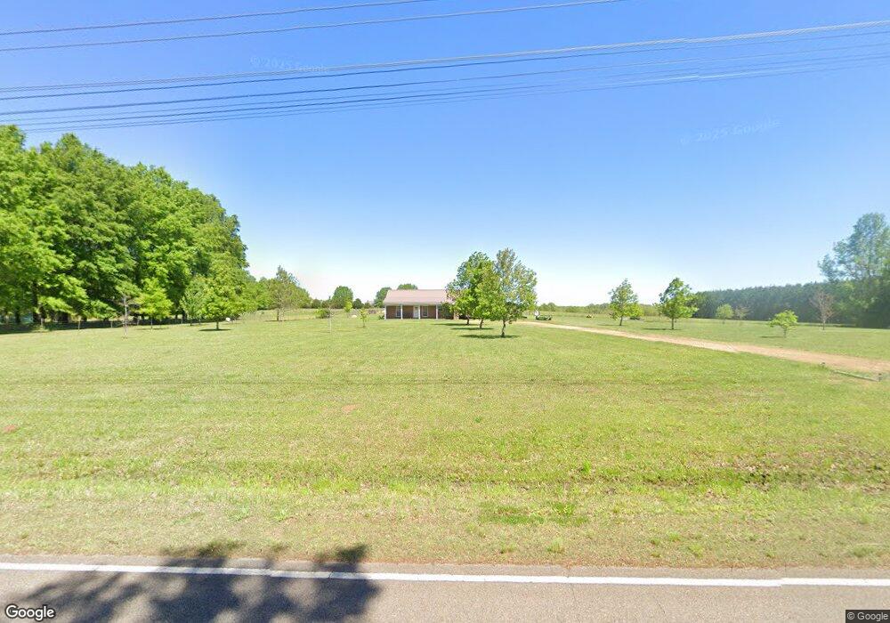
2021 E Tibbee Rd West Point, MS 39773
Estimated Value: $154,405 - $216,000
3
Beds
--
Bath
1,996
Sq Ft
$92/Sq Ft
Est. Value
About This Home
This home is located at 2021 E Tibbee Rd, West Point, MS 39773 and is currently estimated at $183,851, approximately $92 per square foot. 2021 E Tibbee Rd is a home located in Clay County with nearby schools including East Side Elementary School, West Clay Elementary School, and Church Hill Elementary School.
Ownership History
Date
Name
Owned For
Owner Type
Purchase Details
Closed on
Nov 12, 2021
Sold by
Anthony Huston Lane and Anthony Virginia K
Bought by
Malone William Tucker and Osburn Abigayle Ann
Current Estimated Value
Purchase Details
Closed on
Jul 26, 2018
Sold by
Pickett Lisa C and Pickett Robert Jason
Bought by
Huston Lane Anthony and Huston Virginia K
Home Financials for this Owner
Home Financials are based on the most recent Mortgage that was taken out on this home.
Original Mortgage
$85,353
Interest Rate
4.5%
Mortgage Type
FHA
Purchase Details
Closed on
Mar 24, 2005
Sold by
Moore Christopher W
Bought by
Chism Lisa
Create a Home Valuation Report for This Property
The Home Valuation Report is an in-depth analysis detailing your home's value as well as a comparison with similar homes in the area
Purchase History
| Date | Buyer | Sale Price | Title Company |
|---|---|---|---|
| Malone William Tucker | -- | Anthony Law Firm Pllc | |
| Huston Lane Anthony | -- | -- | |
| Chism Lisa | -- | -- |
Source: Public Records
Mortgage History
| Date | Status | Borrower | Loan Amount |
|---|---|---|---|
| Previous Owner | Huston Lane Anthony | $85,353 |
Source: Public Records
Tax History
| Year | Tax Paid | Tax Assessment Tax Assessment Total Assessment is a certain percentage of the fair market value that is determined by local assessors to be the total taxable value of land and additions on the property. | Land | Improvement |
|---|---|---|---|---|
| 2025 | $338 | $8,671 | $750 | $7,921 |
| 2024 | $338 | $8,671 | $750 | $7,921 |
| 2023 | $493 | $6,723 | $750 | $5,973 |
| 2022 | $237 | $6,723 | $750 | $5,973 |
| 2021 | $237 | $6,723 | $750 | $5,973 |
| 2020 | $236 | $6,723 | $750 | $5,973 |
| 2019 | $216 | $6,668 | $750 | $5,918 |
| 2018 | $504 | $10,003 | $1,125 | $8,878 |
| 2017 | $201 | $6,668 | $750 | $5,918 |
| 2016 | $190 | $6,668 | $750 | $5,918 |
| 2015 | $181 | $6,033 | $750 | $5,283 |
| 2014 | $139 | $9,049 | $1,125 | $7,924 |
| 2013 | $139 | $6,033 | $750 | $5,283 |
Source: Public Records
Map
Nearby Homes
- 0 Golden Horn Rd
- 21 Shadowlawn Cove
- 0 Waverly Dr
- 84 Waverly Dr
- 207 Country Club Dr
- 43 Garden Cove
- 145 Waverly Dr
- 125 Mayfield Dr
- 4132 N Frontage Rd
- 0 Dogwood Dr
- 249 Waverly Dr
- 9 Scotland Yard
- 309 Waverly Dr
- 0 Waverly Rd Unit 26355692
- 0 Dogwood Dr (Lot 14) Unit 26-329
- 0 Dogwood Dr (Lot 15)
- Lot 17 Old Waverly Rd
- Lot 15 Old Waverly Rd
- Lot 18 Old Waverly Rd
- Lot 13 Old Waverly Rd
- 760 W Tibbee Rd
- 2279 E Tibbee Rd
- 2089 E Tibbee Rd
- 1913 E Tibbee Rd
- 2104 E Tibbee Rd
- 1764 E Tibbee Rd
- 1700 E Tibbee Rd
- 1844 E Tibbee Rd
- 1648 E Tibbee Rd
- 1239 E Tibbee Rd
- 1171 E Tibbee Rd
- 311 W Tibbee Rd
- 147 E Tibbee Rd
- 249 E Tibbee Rd
- 289 E Tibbee Rd
- 555 E Tibbee Rd
- 682 E Tibbee Rd
- 564 E Tibbee Rd
- 488 E Tibbee Rd
- 318 E Tibbee Rd
Your Personal Tour Guide
Ask me questions while you tour the home.