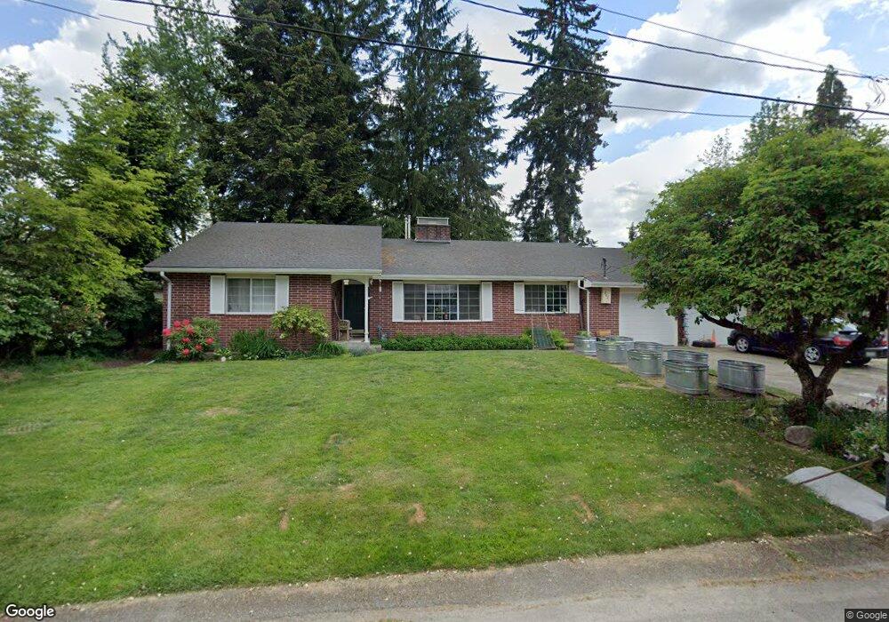
2021 Excelsior Dr SE Olympia, WA 98501
Cain Road NeighborhoodEstimated Value: $675,269 - $748,000
4
Beds
3
Baths
3,200
Sq Ft
$220/Sq Ft
Est. Value
About This Home
This home is located at 2021 Excelsior Dr SE, Olympia, WA 98501 and is currently estimated at $705,067, approximately $220 per square foot. 2021 Excelsior Dr SE is a home located in Thurston County with nearby schools including Pioneer Elementary School, Washington Middle School, and Olympia High School.
Ownership History
Date
Name
Owned For
Owner Type
Purchase Details
Closed on
Jan 5, 2009
Sold by
Wilder Robert L and Wilder Carol H
Bought by
Goldmann Mary E and Dick Iain M
Current Estimated Value
Home Financials for this Owner
Home Financials are based on the most recent Mortgage that was taken out on this home.
Original Mortgage
$234,400
Outstanding Balance
$150,596
Interest Rate
5.49%
Mortgage Type
Purchase Money Mortgage
Estimated Equity
$554,471
Create a Home Valuation Report for This Property
The Home Valuation Report is an in-depth analysis detailing your home's value as well as a comparison with similar homes in the area
Home Values in the Area
Average Home Value in this Area
Purchase History
| Date | Buyer | Sale Price | Title Company |
|---|---|---|---|
| Goldmann Mary E | $293,000 | Thurston County Title |
Source: Public Records
Mortgage History
| Date | Status | Borrower | Loan Amount |
|---|---|---|---|
| Open | Goldmann Mary E | $234,400 |
Source: Public Records
Tax History Compared to Growth
Tax History
| Year | Tax Paid | Tax Assessment Tax Assessment Total Assessment is a certain percentage of the fair market value that is determined by local assessors to be the total taxable value of land and additions on the property. | Land | Improvement |
|---|---|---|---|---|
| 2024 | $6,281 | $581,000 | $166,600 | $414,400 |
| 2023 | $6,281 | $600,700 | $141,700 | $459,000 |
| 2022 | $5,779 | $599,900 | $113,300 | $486,600 |
| 2021 | $5,169 | $483,800 | $95,500 | $388,300 |
| 2020 | $5,068 | $400,400 | $107,200 | $293,200 |
| 2019 | $4,481 | $383,000 | $91,200 | $291,800 |
| 2018 | $4,232 | $314,200 | $79,000 | $235,200 |
| 2017 | $3,643 | $291,500 | $73,800 | $217,700 |
| 2016 | $3,503 | $273,800 | $69,300 | $204,500 |
| 2014 | -- | $280,100 | $68,300 | $211,800 |
Source: Public Records
Map
Nearby Homes
- 2025 Eskridge Blvd SE
- 3056 Edgewood Dr SE
- 2802 Burnaby Park Loop SE
- 2413 28th Ave SE
- 2937 Lybarger St SE
- 2534 Wedgewood Ct SE
- 3715 Holiday Dr SE
- 3424 Wagon Wheel St SE
- 2911 Stirling Ct SE
- 2418 22nd Ave SE
- 3820 Kingsbury Ln SE
- 1824 Fairview St SE
- 3323 Amhurst St SE
- 3509 Hawthorne Place SE
- 0 xx Fairview St SE
- 3525 Humphrey St SE
- 4010 Henderson Blvd SE
- 1720 Wilson St SE
- 1820 Chipman St SE Unit A&B
- 1816 Chipman St SE Unit A&B
- 2013 Excelsior Dr SE
- 2033 Excelsior Dr SE
- 2026 Baker Terrace SE
- 2014 Baker Terrace SE
- 2030 Baker Terrace SE
- 2022 Excelsior Dr SE
- 2012 Excelsior Dr SE
- 2032 Excelsior Dr SE
- 2003 Excelsior Dr SE
- 2006 Baker Terrace SE
- 2004 Excelsior Dr SE
- 2031 Eskridge Blvd SE
- 2112 Woodcrest Dr SE
- 2102 Woodcrest Dr SE
- 2001 Excelsior Dr SE
- 2027 Baker Terrace SE
- 2120 Woodcrest Cir SE
- 2015 Baker Terrace SE
- 2031 Baker Terrace SE
- 2002 Baker Terrace SE