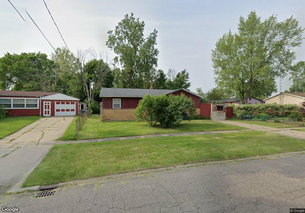
2021 Fenmore Dr Flint, MI 48504
Bel-Aire Woods NeighborhoodEstimated Value: $54,000 - $70,000
4
Beds
2
Baths
1,087
Sq Ft
$56/Sq Ft
Est. Value
About This Home
This home is located at 2021 Fenmore Dr, Flint, MI 48504 and is currently estimated at $61,148, approximately $56 per square foot. 2021 Fenmore Dr is a home located in Genesee County with nearby schools including Brownell STEM Academy, The New Standard Academy, and Eagle's Nest Academy.
Ownership History
Date
Name
Owned For
Owner Type
Purchase Details
Closed on
Aug 10, 2023
Sold by
Robinson Timothy
Bought by
Hopkins Susan Deonia
Current Estimated Value
Purchase Details
Closed on
Apr 5, 2021
Sold by
Robinson Tabitha and Robinson Timothy
Bought by
Robinson Timothy
Purchase Details
Closed on
Jan 5, 2021
Sold by
Robinson Tabitha
Bought by
Robinson Tabitha
Purchase Details
Closed on
Feb 7, 2011
Sold by
Robinson Mary A
Bought by
Robinson Mary A and Robinson Larry L
Purchase Details
Closed on
Mar 1, 2004
Sold by
Smith Mary Carter and Carter Wilson
Bought by
Robinson Mary
Create a Home Valuation Report for This Property
The Home Valuation Report is an in-depth analysis detailing your home's value as well as a comparison with similar homes in the area
Home Values in the Area
Average Home Value in this Area
Purchase History
| Date | Buyer | Sale Price | Title Company |
|---|---|---|---|
| Hopkins Susan Deonia | -- | None Listed On Document | |
| Robinson Timothy | -- | None Available | |
| Robinson Tabitha | -- | None Listed On Document | |
| Robinson Mary A | -- | None Available | |
| Robinson Mary | $28,900 | Lawyers Title |
Source: Public Records
Tax History Compared to Growth
Tax History
| Year | Tax Paid | Tax Assessment Tax Assessment Total Assessment is a certain percentage of the fair market value that is determined by local assessors to be the total taxable value of land and additions on the property. | Land | Improvement |
|---|---|---|---|---|
| 2025 | $1,373 | $17,000 | $0 | $0 |
| 2024 | $1,266 | $15,500 | $0 | $0 |
| 2023 | $567 | $12,700 | $0 | $0 |
| 2022 | $0 | $9,300 | $0 | $0 |
| 2021 | $569 | $9,500 | $0 | $0 |
| 2020 | $536 | $9,100 | $0 | $0 |
| 2019 | $562 | $7,600 | $0 | $0 |
| 2018 | $2,177 | $7,600 | $0 | $0 |
| 2017 | $749 | $0 | $0 | $0 |
| 2016 | $484 | $0 | $0 | $0 |
| 2015 | -- | $0 | $0 | $0 |
| 2014 | -- | $0 | $0 | $0 |
| 2012 | -- | $5,300 | $0 | $0 |
Source: Public Records
Map
Nearby Homes
- 1902 Marlowe Dr
- 5620 Marlowe Dr
- 5616 Griggs Dr
- 1720 Marlowe Dr
- 5806 Marlowe Dr
- 5106 Cloverlawn Dr
- 1709 W Home Ave
- 1621 Shamrock Ln
- 1913 Cherrylawn Dr
- 1625 Barbara Dr
- 2017 Chateau Dr
- 1605 Barbara Dr
- 6414 Valorie Ln
- 5302 Susan St
- 2118 Santa Barbara Dr
- 1816 Russet Place
- 3330 Maywood Dr
- 5610 Baldwin Blvd
- 5318 Baldwin Blvd
- 6628 Orange Ln
- 2023 Oxley Dr
- 2017 Oxley Dr
- 5514 Cloverlawn Dr
- 5510 Cloverlawn Dr
- 5506 Cloverlawn Dr
- 2013 Oxley Dr
- 1930 Basil Ln
- 1934 Basil Ln
- 1938 Basil Ln
- 2022 Fenmore Dr
- 2007 Oxley Dr
- 1926 Basil Ln
- 5601 Oxley Dr
- 5602 Cloverlawn Dr
- 2020 Oxley Dr
- 2001 Oxley Dr
- 1922 Basil Ln
- 5509 Cloverlawn Dr
- 5511 Cloverlawn Dr
- 5609 Oxley Dr