2021 Lasso Ct La Pine, OR 97739
Estimated Value: $391,000 - $410,422
2
Beds
2
Baths
1,162
Sq Ft
$345/Sq Ft
Est. Value
About This Home
This home is located at 2021 Lasso Ct, La Pine, OR 97739 and is currently estimated at $400,711, approximately $344 per square foot. 2021 Lasso Ct is a home located in Klamath County with nearby schools including Gilchrist Elementary School and Gilchrist Junior/Senior High School.
Ownership History
Date
Name
Owned For
Owner Type
Purchase Details
Closed on
Nov 7, 2005
Sold by
Ware Robert G and Johnson Ware Audrey J
Bought by
Booher Dennis H and Booher Lisa A
Current Estimated Value
Home Financials for this Owner
Home Financials are based on the most recent Mortgage that was taken out on this home.
Original Mortgage
$127,920
Outstanding Balance
$68,652
Interest Rate
5.9%
Mortgage Type
New Conventional
Estimated Equity
$332,059
Create a Home Valuation Report for This Property
The Home Valuation Report is an in-depth analysis detailing your home's value as well as a comparison with similar homes in the area
Purchase History
We collect this data history from publicly available records. To have your information removed, we recommend requesting removal directly through your county’s website.
| Date | Buyer | Sale Price | Title Company |
|---|---|---|---|
| Booher Dennis H | $159,900 | None Available |
Source: Public Records
Mortgage History
We collect this data history from publicly available records. To have your information removed, we recommend requesting removal directly through your county’s website.
| Date | Status | Borrower | Loan Amount |
|---|---|---|---|
| Open | Booher Dennis H | $127,920 |
Source: Public Records
Tax History
| Year | Tax Paid | Tax Assessment Tax Assessment Total Assessment is a certain percentage of the fair market value that is determined by local assessors to be the total taxable value of land and additions on the property. | Land | Improvement |
|---|---|---|---|---|
| 2025 | $1,867 | $156,410 | -- | -- |
| 2024 | $1,711 | $151,860 | -- | -- |
| 2023 | $1,647 | $151,860 | $0 | $0 |
| 2022 | $1,604 | $143,150 | $0 | $0 |
| 2021 | $1,558 | $138,990 | $0 | $0 |
| 2020 | $1,513 | $134,950 | $0 | $0 |
| 2019 | $1,477 | $131,020 | $0 | $0 |
| 2018 | $1,436 | $127,210 | $0 | $0 |
| 2017 | $1,402 | $123,510 | $0 | $0 |
| 2016 | $1,367 | $119,920 | $0 | $0 |
| 2015 | $1,331 | $116,430 | $0 | $0 |
| 2014 | $1,272 | $113,040 | $0 | $0 |
| 2013 | -- | $109,750 | $0 | $0 |
Source: Public Records
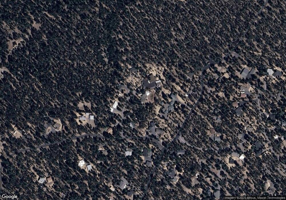
Map
Nearby Homes
- 153469 Hackamore Ln
- 0 Pannier Unit Lot 20
- 0 Pannier Unit Lot 19
- 0 Pannier Ct Unit Lot 20
- 0 Pannier Ct Unit Lot 19
- 1764 Lariat Ct
- 0 Tl 08700 Stirrup Dr Unit 16
- 0 Tl 10600 Concho Ct Unit 2 220194291
- 0 Stirrup Dr Unit Lot 15 220194508
- 0 Stirrup Dr Unit Lot 20 220194510
- 0 Stirrup Dr Unit Lot 11 220194505
- 0 Stirrup Dr Unit 14
- 0 Stirrup Dr Unit Lot 12 220194504
- 0 Stirrup Dr Unit Lot 17 220194509
- 0 Stirrup Dr Unit Lot 13 220194506
- 0 Tl 09800 Scabbard Ct Unit 5 220194297
- 0 Tl 10300 Concho Ct Unit 5 220194299
- 0 Tl 09900 Scabbard Ct Unit 4 220194298
- 0 Tl 09700 Buggy Whip Ct Unit 6 220194296
- 14400 Judd Ln
- 2300 Lot Lasso Ct
- 153630 Wagon Trail Rd
- 0 Lasso Ct
- 2014 Lasso Ct
- 2025 Lasso Ct
- 153650 Wagon Trail Rd
- 153650 Wagon
- 2009 Lasso Ct
- 2022 Lasso Ct
- 2028 Lasso Ct
- 153482 Hackamore Ln
- 2008 Lasso Ct
- 153662 Wagon Trail Rd
- 153668 Wagon
- 3100 Wagon Trail Rd
- 153485 Hackamore Ln
- 153668 Wagon Trail Rd
- 153541 Wagon Trail Rd
- 153357 Hackamore Ln
- 153665 Wagon Trail Rd
Your Personal Tour Guide
Ask me questions while you tour the home.