2021 Loro Ct Las Vegas, NV 89117
Canyon Gate NeighborhoodEstimated Value: $1,027,000 - $1,164,000
4
Beds
3
Baths
3,314
Sq Ft
$327/Sq Ft
Est. Value
About This Home
This home is located at 2021 Loro Ct, Las Vegas, NV 89117 and is currently estimated at $1,083,427, approximately $326 per square foot. 2021 Loro Ct is a home located in Clark County with nearby schools including Herbert A. Derfelt Elementary School, Walter Johnson Junior High School Academy of International Studies, and Bonanza High School.
Ownership History
Date
Name
Owned For
Owner Type
Purchase Details
Closed on
Jun 6, 2000
Sold by
Scheppmann Eugene Dale and Scheppmann Edna Mae
Bought by
Ccsn Mcfarland Housing Inc
Current Estimated Value
Purchase Details
Closed on
Dec 12, 1994
Sold by
Redmond John T and Redmond Lorraine L
Bought by
Elnes David W and Elnes Toni A
Purchase Details
Closed on
Feb 4, 1994
Sold by
Frontier Ltd Partnership
Bought by
Redmond John T and Redmond Lorraine L
Create a Home Valuation Report for This Property
The Home Valuation Report is an in-depth analysis detailing your home's value as well as a comparison with similar homes in the area
Home Values in the Area
Average Home Value in this Area
Purchase History
| Date | Buyer | Sale Price | Title Company |
|---|---|---|---|
| Ccsn Mcfarland Housing Inc | $303,000 | First American Title | |
| Elnes David W | $71,000 | Nevada Title Company | |
| Redmond John T | $68,500 | Nevada Title Company |
Source: Public Records
Tax History Compared to Growth
Tax History
| Year | Tax Paid | Tax Assessment Tax Assessment Total Assessment is a certain percentage of the fair market value that is determined by local assessors to be the total taxable value of land and additions on the property. | Land | Improvement |
|---|---|---|---|---|
| 2025 | $5,684 | $268,788 | $101,500 | $167,288 |
| 2024 | $5,684 | $268,788 | $101,500 | $167,288 |
| 2023 | $5,684 | $256,799 | $98,000 | $158,799 |
| 2022 | $5,519 | $233,106 | $87,500 | $145,606 |
| 2021 | $5,358 | $200,328 | $61,250 | $139,078 |
| 2020 | $5,199 | $203,014 | $64,750 | $138,264 |
| 2019 | $5,048 | $197,901 | $61,250 | $136,651 |
| 2018 | $4,901 | $193,353 | $61,250 | $132,103 |
| 2017 | $6,168 | $188,154 | $54,250 | $133,904 |
| 2016 | $4,639 | $171,684 | $35,000 | $136,684 |
| 2015 | $4,631 | $153,917 | $31,500 | $122,417 |
| 2014 | $4,496 | $133,079 | $31,500 | $101,579 |
Source: Public Records
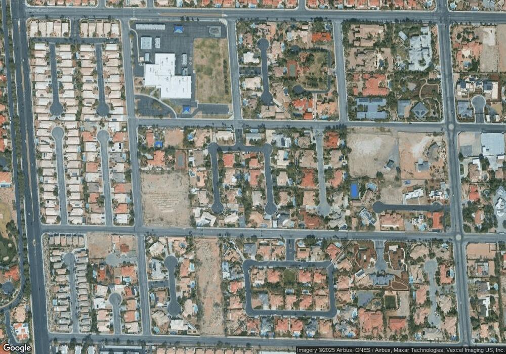
Map
Nearby Homes
- 2111 Loro Ct
- 2111 Shenley Ct
- 1805 Quail Point Ct
- 1813 Skyline Dr
- 1700 Fairgate Ct
- 1613 Iron Ridge Dr
- 0 Sahara
- 8455 W Sahara Ave Unit 213
- 8455 W Sahara Ave Unit 265
- 8455 W Sahara Ave Unit 220
- 8455 W Sahara Ave Unit 130
- 8455 W Sahara Ave Unit 289
- 8113 Gothic Ave
- 8021 Obannon Dr
- 8505 Custer Ct
- 1536 Brocado Ln
- 1517 Kirby Dr
- 2105 Lookout Point Cir
- 1720 Oval Cir
- 8000 Clock Tower Ct
- 2101 Loro Ct
- 2011 Loro Ct
- 2010 Loro Ct
- 2010 Loro Ct Unit n/a
- 2100 Alberti Ct
- 2100 Loro Ct
- 2010 Alberti Ct
- 8400 Gordo Way
- 2110 Alberti Ct
- 2000 Loro Ct
- 2110 Loro Ct
- 8410 Gordo Way
- 2101 Shenley Ct
- 2021 Alberti Ct
- 2101 Alberti Ct
- 2011 Shenley Ct
- 2011 Alberti Ct
- 2001 Shenley Ct
- 1920 Columbia Crest Ct
- 2121 Shenley Ct