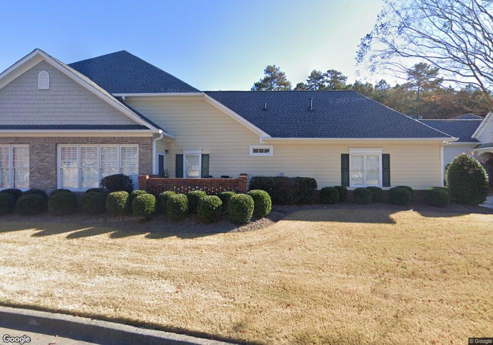
2021 MacLand Square Dr Unit 9 Marietta, GA 30064
Estimated Value: $381,655 - $410,000
2
Beds
2
Baths
2,070
Sq Ft
$192/Sq Ft
Est. Value
About This Home
This home is located at 2021 MacLand Square Dr Unit 9, Marietta, GA 30064 and is currently estimated at $396,914, approximately $191 per square foot. 2021 MacLand Square Dr Unit 9 is a home located in Cobb County with nearby schools including Dowell Elementary School, Lovinggood Middle School, and Hillgrove High School.
Ownership History
Date
Name
Owned For
Owner Type
Purchase Details
Closed on
Jan 30, 2018
Sold by
Arnold Eldon
Bought by
Sanders Verdell
Current Estimated Value
Home Financials for this Owner
Home Financials are based on the most recent Mortgage that was taken out on this home.
Original Mortgage
$207,920
Outstanding Balance
$175,505
Interest Rate
3.95%
Mortgage Type
New Conventional
Estimated Equity
$221,409
Purchase Details
Closed on
Nov 21, 2008
Sold by
Venable Joyce H
Bought by
Arnold Eldon and Arnold Beverly J
Purchase Details
Closed on
Oct 1, 2004
Sold by
Circle W Construction Co Inc
Bought by
Venable Joyce H
Create a Home Valuation Report for This Property
The Home Valuation Report is an in-depth analysis detailing your home's value as well as a comparison with similar homes in the area
Home Values in the Area
Average Home Value in this Area
Purchase History
| Date | Buyer | Sale Price | Title Company |
|---|---|---|---|
| Sanders Verdell | $259,900 | -- | |
| Arnold Eldon | $210,000 | -- | |
| Venable Joyce H | $255,400 | -- |
Source: Public Records
Mortgage History
| Date | Status | Borrower | Loan Amount |
|---|---|---|---|
| Open | Sanders Verdell | $207,920 |
Source: Public Records
Tax History Compared to Growth
Tax History
| Year | Tax Paid | Tax Assessment Tax Assessment Total Assessment is a certain percentage of the fair market value that is determined by local assessors to be the total taxable value of land and additions on the property. | Land | Improvement |
|---|---|---|---|---|
| 2025 | $1,148 | $149,128 | $20,800 | $128,328 |
| 2024 | $1,151 | $149,128 | $20,800 | $128,328 |
| 2023 | $945 | $149,128 | $20,800 | $128,328 |
| 2022 | $1,049 | $114,788 | $20,800 | $93,988 |
| 2021 | $1,049 | $114,788 | $20,800 | $93,988 |
| 2020 | $1,016 | $103,960 | $20,120 | $83,840 |
| 2019 | $2,792 | $103,960 | $20,120 | $83,840 |
| 2018 | $2,834 | $93,368 | $16,000 | $77,368 |
| 2017 | $2,684 | $93,368 | $16,000 | $77,368 |
| 2016 | $2,146 | $74,636 | $16,000 | $58,636 |
| 2015 | $2,199 | $74,636 | $16,000 | $58,636 |
| 2014 | $1,873 | $63,036 | $0 | $0 |
Source: Public Records
Map
Nearby Homes
- 2002 MacLand Square Dr Unit 1
- 2028 MacLand Square Dr Unit 4
- 1830 MacLand Rd SW
- 1946 MacLand Rd SW
- 1952 Freestone Way
- Monteluce Plan at Freestone Station
- Hillside Plan at Freestone Station
- Oakshire Plan at Freestone Station
- Hendricks Plan at Freestone Station
- Hedgerow Plan at Freestone Station
- Antioch Plan at Freestone Station
- 1976 Grove Field Ln
- 1976 Grove Field Ln Unit BLDG 33
- 2268 Grove Valley Way Unit 9
- 1985 Freestone Way
- 2009 Freestone Way
- 2040 Hardwood Cir SW Unit 3
- 2040 Freestone Way
- 1830 Kolb Farm Cir SW Unit 7
- 2409 Caneridge Point SW
- 2021 MacLand Square Dr Unit 33
- 2021 MacLand Square Dr Unit 2021
- 2019 MacLand Square Dr Unit 9
- 2019 MacLand Square Dr Unit 36
- 2023 MacLand Square Dr Unit 9
- 2017 MacLand Square Dr Unit 9
- 2027 MacLand Square Dr Unit 8
- 2025 MacLand Square Dr
- 2029 MacLand Square Dr Unit 8
- 2013 MacLand Square Dr Unit 10
- 2013 MacLand Square Dr
- 2031 MacLand Square Dr
- 2020 MacLand Square Dr Unit 3
- 2022 MacLand Square Dr
- 2015 MacLand Square Dr Unit 10
- 2015 MacLand Square Dr
- 2011 MacLand Square Dr Unit 10
- 2011 MacLand Square Dr
- 2009 MacLand Square Dr Unit 10
- 2035 MacLand Square Dr Unit 28