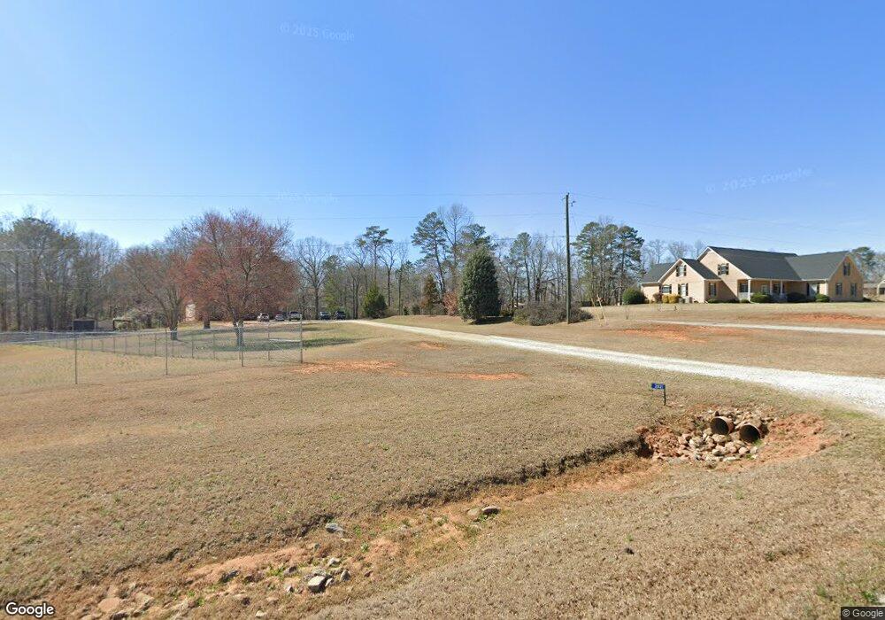
2021 Malcom Bridge Rd Bogart, GA 30622
Estimated Value: $412,000 - $548,000
--
Bed
--
Bath
1,736
Sq Ft
$264/Sq Ft
Est. Value
About This Home
This home is located at 2021 Malcom Bridge Rd, Bogart, GA 30622 and is currently estimated at $459,102, approximately $264 per square foot. 2021 Malcom Bridge Rd is a home located in Oconee County with nearby schools including Malcom Bridge Elementary School, Malcom Bridge Middle School, and North Oconee High School.
Ownership History
Date
Name
Owned For
Owner Type
Purchase Details
Closed on
Dec 19, 2002
Sold by
Farmer Bobby
Bought by
Mitchell Russell Norman
Current Estimated Value
Purchase Details
Closed on
Dec 16, 2002
Sold by
Mcelhannon Michael E
Bought by
Farmer Bobby
Purchase Details
Closed on
Feb 1, 1996
Bought by
Farmer Bobby
Create a Home Valuation Report for This Property
The Home Valuation Report is an in-depth analysis detailing your home's value as well as a comparison with similar homes in the area
Home Values in the Area
Average Home Value in this Area
Purchase History
| Date | Buyer | Sale Price | Title Company |
|---|---|---|---|
| Mitchell Russell Norman | $30,000 | -- | |
| Farmer Bobby | -- | -- | |
| Farmer Bobby | $18,500 | -- |
Source: Public Records
Tax History Compared to Growth
Tax History
| Year | Tax Paid | Tax Assessment Tax Assessment Total Assessment is a certain percentage of the fair market value that is determined by local assessors to be the total taxable value of land and additions on the property. | Land | Improvement |
|---|---|---|---|---|
| 2024 | $2,437 | $134,035 | $48,709 | $85,326 |
| 2023 | $2,467 | $121,875 | $40,591 | $81,284 |
| 2022 | $2,288 | $108,638 | $36,902 | $71,736 |
| 2021 | $2,139 | $94,413 | $29,056 | $65,357 |
| 2020 | $1,952 | $86,197 | $23,816 | $62,381 |
| 2019 | $1,955 | $86,310 | $23,816 | $62,494 |
| 2018 | $1,854 | $80,285 | $23,816 | $56,469 |
| 2017 | $1,695 | $73,555 | $22,682 | $50,873 |
| 2016 | $1,643 | $71,369 | $20,868 | $50,501 |
| 2015 | $1,634 | $70,848 | $20,868 | $49,980 |
| 2014 | $1,514 | $64,355 | $16,347 | $48,008 |
| 2013 | -- | $63,193 | $17,406 | $45,786 |
Source: Public Records
Map
Nearby Homes
- 2001 Malcom Bridge Rd
- 2061 Malcom Bridge Rd
- 1981 Malcom Bridge Rd
- 1960 Malcom Bridge Rd
- 0 Lenru Rd
- 00 Lenru Rd
- 0 Lenru Rd Unit CM979783
- 0 Lenru Rd Unit CM926312
- 0 Lenru Rd Unit CM903380
- 0 Lenru Rd Unit CM919950
- 0 Lenru Rd Unit CM929443
- 0 Lenru Rd Unit CM916037
- 0 Lenru Rd Unit 921953
- 0 Lenru Rd Unit 2944619
- 0 Lenru Rd Unit 3282252
- 0 Lenru Rd Unit 7267077
- 0 Lenru Rd Unit 3193995
- 0 Lenru Rd Unit 3001808
- 2101 Malcom Bridge Rd
- 1951 Malcom Bridge Rd