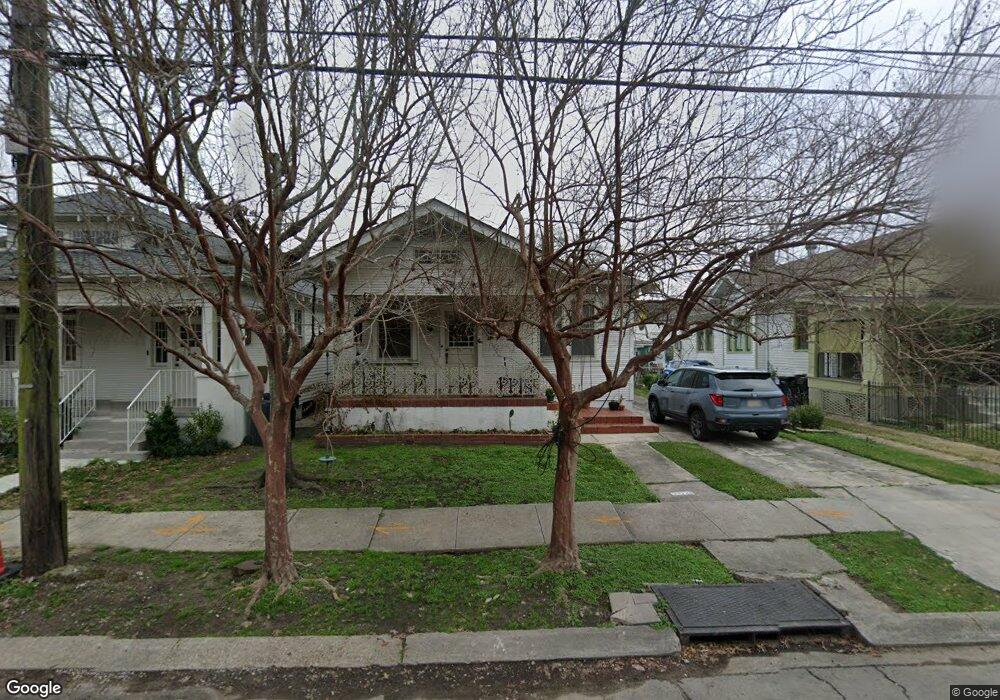
2021 Robert St New Orleans, LA 70115
Uptown NeighborhoodEstimated Value: $412,187 - $540,000
2
Beds
1
Bath
1,300
Sq Ft
$366/Sq Ft
Est. Value
About This Home
This home is located at 2021 Robert St, New Orleans, LA 70115 and is currently estimated at $475,797, approximately $365 per square foot. 2021 Robert St is a home located in Orleans Parish with nearby schools including Samuel J. Green Charter School, The Willow School New Orleans, and New Orleans Charter Science & Mathematics High School.
Ownership History
Date
Name
Owned For
Owner Type
Purchase Details
Closed on
Oct 27, 2006
Sold by
Grant Valerie A
Bought by
Hoskins Anne B
Current Estimated Value
Home Financials for this Owner
Home Financials are based on the most recent Mortgage that was taken out on this home.
Original Mortgage
$162,900
Outstanding Balance
$96,735
Interest Rate
6.28%
Estimated Equity
$379,062
Create a Home Valuation Report for This Property
The Home Valuation Report is an in-depth analysis detailing your home's value as well as a comparison with similar homes in the area
Home Values in the Area
Average Home Value in this Area
Purchase History
| Date | Buyer | Sale Price | Title Company |
|---|---|---|---|
| Hoskins Anne B | $130,000 | -- |
Source: Public Records
Mortgage History
| Date | Status | Borrower | Loan Amount |
|---|---|---|---|
| Open | Hoskins Anne B | $162,900 | |
| Closed | Hoskins Anne B | $162,900 |
Source: Public Records
Tax History Compared to Growth
Tax History
| Year | Tax Paid | Tax Assessment Tax Assessment Total Assessment is a certain percentage of the fair market value that is determined by local assessors to be the total taxable value of land and additions on the property. | Land | Improvement |
|---|---|---|---|---|
| 2025 | $4,010 | $37,230 | $17,640 | $19,590 |
| 2024 | $5,095 | $37,230 | $17,640 | $19,590 |
| 2023 | $2,866 | $27,180 | $8,570 | $18,610 |
| 2022 | $2,866 | $27,180 | $8,570 | $18,610 |
| 2021 | $3,071 | $28,160 | $8,570 | $19,590 |
| 2020 | $3,242 | $29,130 | $8,570 | $20,560 |
| 2019 | $3,365 | $29,130 | $8,570 | $20,560 |
| 2018 | $3,430 | $29,130 | $8,570 | $20,560 |
| 2017 | $3,261 | $29,130 | $8,570 | $20,560 |
| 2016 | $1,649 | $17,850 | $5,040 | $12,810 |
| 2015 | $1,617 | $17,850 | $5,040 | $12,810 |
| 2014 | -- | $17,850 | $5,040 | $12,810 |
| 2013 | -- | $10,080 | $5,040 | $5,040 |
Source: Public Records
Map
Nearby Homes
- 2025 Robert St
- 2025 27 Robert St
- 2015 Robert St
- 2029 Robert St
- 2033 Robert St
- 4917 Loyola Ave
- 2009 Robert St
- 2035 Robert St
- 2001 Robert St
- 4918 S Liberty St
- 4916 S Liberty St
- 2037 39 Robert St
- 4914 S Liberty St
- 2039 Robert St
- 4911 Loyola Ave
- 2016 Robert St
- 2022 Robert St
- 2012 Robert St
- 2026 Robert St
- 2220 22 Upperline St