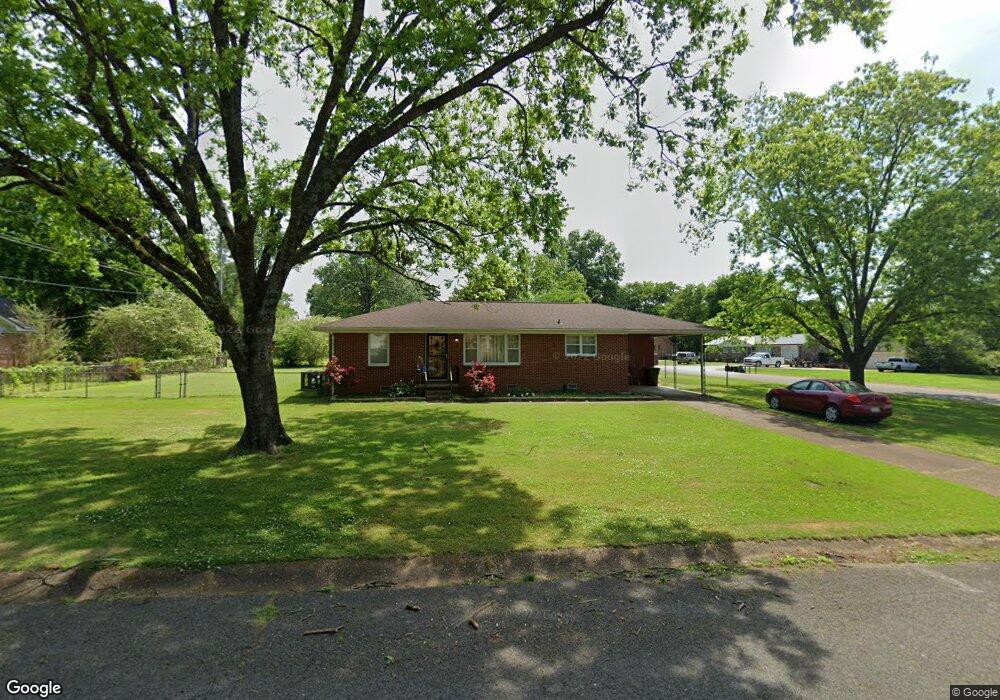
2021 Rosewood Dr NW Huntsville, AL 35810
Mastin Lake Park NeighborhoodEstimated Value: $163,996 - $196,000
3
Beds
2
Baths
1,260
Sq Ft
$141/Sq Ft
Est. Value
About This Home
This home is located at 2021 Rosewood Dr NW, Huntsville, AL 35810 and is currently estimated at $177,249, approximately $140 per square foot. 2021 Rosewood Dr NW is a home located in Madison County with nearby schools including Highlands Elementary School, Ronald E. McNair Junior High School, and Jemison High School.
Ownership History
Date
Name
Owned For
Owner Type
Purchase Details
Closed on
May 27, 2022
Sold by
Leehouse Homebuilding Inc
Bought by
Connell Patrick and Connell Laura
Current Estimated Value
Home Financials for this Owner
Home Financials are based on the most recent Mortgage that was taken out on this home.
Original Mortgage
$533,486
Outstanding Balance
$505,648
Interest Rate
5%
Estimated Equity
-$328,399
Create a Home Valuation Report for This Property
The Home Valuation Report is an in-depth analysis detailing your home's value as well as a comparison with similar homes in the area
Home Values in the Area
Average Home Value in this Area
Purchase History
| Date | Buyer | Sale Price | Title Company |
|---|---|---|---|
| Connell Patrick | $533,486 | Daniel Larry O |
Source: Public Records
Mortgage History
| Date | Status | Borrower | Loan Amount |
|---|---|---|---|
| Open | Connell Patrick | $533,486 |
Source: Public Records
Tax History Compared to Growth
Tax History
| Year | Tax Paid | Tax Assessment Tax Assessment Total Assessment is a certain percentage of the fair market value that is determined by local assessors to be the total taxable value of land and additions on the property. | Land | Improvement |
|---|---|---|---|---|
| 2024 | $502 | $9,520 | $1,920 | $7,600 |
| 2023 | $468 | $9,520 | $1,920 | $7,600 |
| 2022 | $420 | $8,580 | $1,920 | $6,660 |
| 2021 | $336 | $6,960 | $960 | $6,000 |
| 2020 | $317 | $6,560 | $950 | $5,610 |
| 2019 | $291 | $6,070 | $950 | $5,120 |
| 2018 | $288 | $6,020 | $0 | $0 |
| 2017 | $288 | $6,020 | $0 | $0 |
| 2016 | $296 | $6,180 | $0 | $0 |
| 2015 | $267 | $5,620 | $0 | $0 |
| 2014 | $231 | $4,920 | $0 | $0 |
Source: Public Records
Map
Nearby Homes
- 2111 Shady Lane Cir NW
- 1023 Club View Dr NW
- 3906 Broadmor Rd NW
- 1723 Laverne Dr NW
- 2114 Linde St NW
- 2217 Linde St NW
- 3927 Shamrock Dr NW
- 3702 Broadmor Rd NW
- 1114 Club View Dr NW
- 2818 Gus Grissom Dr NW
- 2303 Dogwood Ln NW
- 4318 Chalet Cir NW
- 4507 Sparkman Dr NW
- 3.92 Acres Sparkman Dr NW
- 2202 Viscount Dr NW
- 2410 Halmac Dr NW
- 2603 Bonnie View Dr
- 3605 Sparkman Dr NW
- 2510 Pulaski Pike NW
- 2506 Skyline Dr NW
- 2019 Rosewood Dr NW
- 2008 Fulton Dr NW
- 2013 Fulton Dr NW
- 2100 Fulton Dr NW
- 2017 Rosewood Dr NW
- 2011 Fulton Dr NW
- 2006 Fulton Dr NW
- 2009 Fulton Dr NW
- 2030 Rosewood Dr NW
- 2101 Fulton Dr NW
- 2015 Rosewood Dr NW
- 2004 Fulton Dr NW
- 2007 Fulton Dr NW
- 2102 Fulton Dr NW
- 2018 Shady Lane Dr NW
- 2028 E Rosewood Cir NW
- 2016 Shady Lane Dr NW
- 2103 Fulton Dr NW
- 2014 Shady Lane Dr NW
- 2005 Fulton Dr NW