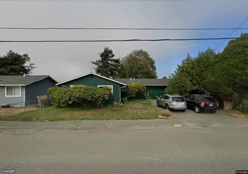
2021 Upper Bay Rd Arcata, CA 95521
Estimated Value: $352,600 - $460,000
Studio
--
Bath
--
Sq Ft
7,100
Sq Ft Lot
About This Home
This home is located at 2021 Upper Bay Rd, Arcata, CA 95521 and is currently estimated at $414,150. 2021 Upper Bay Rd is a home located in Humboldt County with nearby schools including Pacific Union Elementary School, Arcata High School, and Trillium Charter School.
Ownership History
Date
Name
Owned For
Owner Type
Purchase Details
Closed on
May 18, 2022
Sold by
Roy Duff Benjamin and Roy Janet K
Bought by
Benjamin R Duff And Janet K Neebe 2022 Trust
Current Estimated Value
Purchase Details
Closed on
Dec 27, 2005
Sold by
Neebe Frederick C and Neebe Evelyn S
Bought by
Duff Benjamin Roy and Neebe Janet K
Create a Home Valuation Report for This Property
The Home Valuation Report is an in-depth analysis detailing your home's value as well as a comparison with similar homes in the area
Purchase History
| Date | Buyer | Sale Price | Title Company |
|---|---|---|---|
| Benjamin R Duff And Janet K Neebe 2022 Trust | -- | Hjerpe & Godinho Llp | |
| Duff Benjamin Roy | -- | -- |
Source: Public Records
Tax History
| Year | Tax Paid | Tax Assessment Tax Assessment Total Assessment is a certain percentage of the fair market value that is determined by local assessors to be the total taxable value of land and additions on the property. | Land | Improvement |
|---|---|---|---|---|
| 2025 | $1,564 | $139,802 | $51,501 | $88,301 |
| 2024 | $1,564 | $137,062 | $50,492 | $86,570 |
| 2023 | $1,562 | $134,375 | $49,502 | $84,873 |
| 2022 | $1,553 | $131,741 | $48,532 | $83,209 |
| 2021 | $1,544 | $129,159 | $47,581 | $81,578 |
| 2020 | $1,440 | $127,836 | $47,094 | $80,742 |
| 2019 | $1,417 | $125,330 | $46,171 | $79,159 |
| 2018 | $1,327 | $122,873 | $45,266 | $77,607 |
| 2017 | $1,306 | $120,465 | $44,379 | $76,086 |
| 2016 | $1,283 | $118,104 | $43,509 | $74,595 |
| 2015 | $1,260 | $116,331 | $42,856 | $73,475 |
| 2014 | $1,242 | $114,053 | $42,017 | $72,036 |
Source: Public Records
Map
Nearby Homes
- 3106 Brian Ct
- 3659 Spear Ave
- 2203 Appaloosa Ln
- 3735 Shetland Ln
- 2084 Mustang Ln
- 2078 Shetland Ln
- 2048 Appaloosa Ln
- 3301 Antoinette Ct
- 3030 Alliance Rd
- 1254 Mccallum Cir
- 3028 Alliance Rd
- 1666 Stewart Ave
- 3122 St Louis Rd
- 2700 Meadow Creek Way
- 1283 Poplar Dr
- 1082 Cedar Dr
- 4965 Monterey Dr
- 00 Mad River Pkwy
- 812 Diamond Dr
- 970 Courtyard Cir
- 3026 Alice Ave
- 2027 Upper Bay Rd
- 3030 Alice Ave
- 2026 Ball Ct
- 2035 Upper Bay Rd
- 2030 Ball Ct
- 3042 Alice Ave
- 3014 Alice Ave
- 3013 Alice Ave
- 2025 Ball Ct
- 2039 Upper Bay Rd
- 3031 Alice Ave
- 2038 Ball Ct
- 3054 Alice Ave
- 1999 Upper Bay Rd
- 2000 Leslie Ct
- 2045 Upper Bay Rd
- 2044 Ball Ct
- 3070 Alice Ave
- 3055 Alice Ave
Your Personal Tour Guide
Ask me questions while you tour the home.