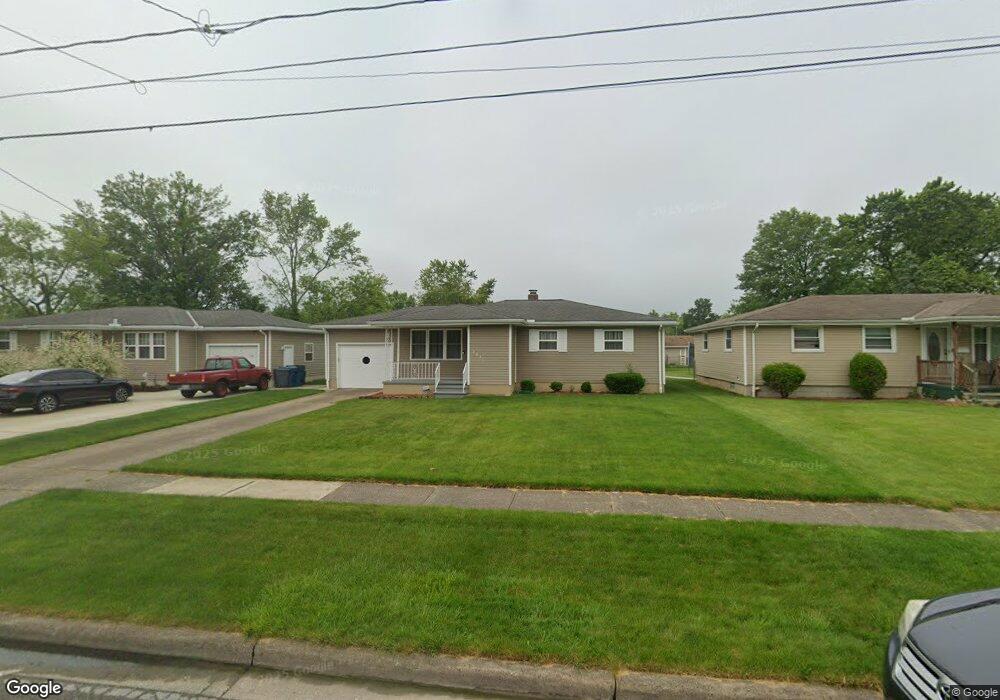
2021 W 29th St Lorain, OH 44052
Estimated Value: $166,000 - $185,128
3
Beds
2
Baths
1,100
Sq Ft
$160/Sq Ft
Est. Value
About This Home
This home is located at 2021 W 29th St, Lorain, OH 44052 and is currently estimated at $175,782, approximately $159 per square foot. 2021 W 29th St is a home located in Lorain County with nearby schools including Frank Jacinto Elementary School, Gen. Johnnie Wilson Middle School, and Lorain High School.
Ownership History
Date
Name
Owned For
Owner Type
Purchase Details
Closed on
Aug 31, 2022
Sold by
Brezina Richard
Bought by
Brezina Andrew J
Current Estimated Value
Home Financials for this Owner
Home Financials are based on the most recent Mortgage that was taken out on this home.
Original Mortgage
$100,000
Outstanding Balance
$95,756
Interest Rate
5.54%
Mortgage Type
New Conventional
Estimated Equity
$80,026
Purchase Details
Closed on
May 31, 2001
Sold by
Estate Of Margaret Brezing
Bought by
Brezina Andrew J and Brezina Richard M
Create a Home Valuation Report for This Property
The Home Valuation Report is an in-depth analysis detailing your home's value as well as a comparison with similar homes in the area
Home Values in the Area
Average Home Value in this Area
Purchase History
| Date | Buyer | Sale Price | Title Company |
|---|---|---|---|
| Brezina Andrew J | $152,000 | None Listed On Document | |
| Brezina Andrew J | -- | -- |
Source: Public Records
Mortgage History
| Date | Status | Borrower | Loan Amount |
|---|---|---|---|
| Open | Brezina Andrew J | $100,000 |
Source: Public Records
Tax History Compared to Growth
Tax History
| Year | Tax Paid | Tax Assessment Tax Assessment Total Assessment is a certain percentage of the fair market value that is determined by local assessors to be the total taxable value of land and additions on the property. | Land | Improvement |
|---|---|---|---|---|
| 2024 | $1,684 | $40,842 | $8,967 | $31,875 |
| 2023 | $1,547 | $30,030 | $7,623 | $22,407 |
| 2022 | $1,573 | $30,030 | $7,623 | $22,407 |
| 2021 | $1,573 | $30,030 | $7,620 | $22,410 |
| 2020 | $1,453 | $24,100 | $6,120 | $17,980 |
| 2019 | $1,445 | $24,100 | $6,120 | $17,980 |
| 2018 | $1,506 | $24,100 | $6,120 | $17,980 |
| 2017 | $1,565 | $24,600 | $7,180 | $17,420 |
| 2016 | $1,553 | $24,600 | $7,180 | $17,420 |
| 2015 | $1,467 | $24,600 | $7,180 | $17,420 |
| 2014 | $1,600 | $26,880 | $7,840 | $19,040 |
| 2013 | $1,588 | $26,880 | $7,840 | $19,040 |
Source: Public Records
Map
Nearby Homes
- 2015 W 29th St
- 2029 W 29th St
- 2035 W 29th St
- 2022 W 30th St
- 2028 W 30th St
- 2016 W 30th St
- 2009 W 29th St
- 2910 Reeves Ave
- 2034 W 30th St
- 2010 W 30th St
- 2041 W 29th St
- 2016 W 29th St
- 2022 W 29th St
- 2028 W 29th St
- 2102 W 30th St
- 2010 W 29th St
- 2920 Reeves Ave
- 2034 W 29th St
- 2820 Reeves Ave
- 2110 W 30th St