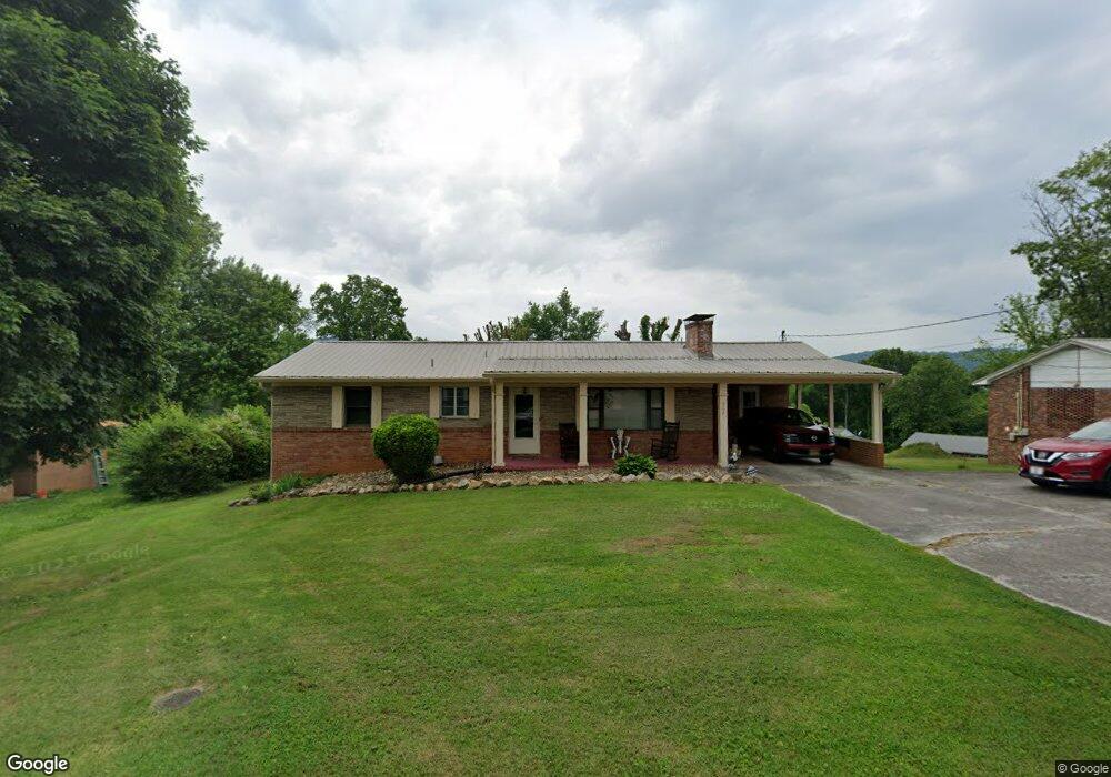
2021 W Outer Dr Morristown, TN 37814
Estimated Value: $226,268 - $325,000
Studio
2
Baths
1,245
Sq Ft
$209/Sq Ft
Est. Value
About This Home
This home is located at 2021 W Outer Dr, Morristown, TN 37814 and is currently estimated at $260,317, approximately $209 per square foot. 2021 W Outer Dr is a home located in Hamblen County with nearby schools including West Elementary School, Lincoln Heights Middle School, and Morristown West High School.
Ownership History
Date
Name
Owned For
Owner Type
Purchase Details
Closed on
Jun 22, 1996
Sold by
Stone Richard A and Stone Lorine
Bought by
Mason William
Current Estimated Value
Purchase Details
Closed on
Oct 17, 1975
Bought by
Stone Richard A and Stone Lorine
Create a Home Valuation Report for This Property
The Home Valuation Report is an in-depth analysis detailing your home's value as well as a comparison with similar homes in the area
Home Values in the Area
Average Home Value in this Area
Purchase History
| Date | Buyer | Sale Price | Title Company |
|---|---|---|---|
| Mason William | $75,000 | -- | |
| Stone Richard A | $22,000 | -- |
Source: Public Records
Tax History
| Year | Tax Paid | Tax Assessment Tax Assessment Total Assessment is a certain percentage of the fair market value that is determined by local assessors to be the total taxable value of land and additions on the property. | Land | Improvement |
|---|---|---|---|---|
| 2025 | $715 | $54,600 | $6,825 | $47,775 |
| 2024 | $536 | $30,450 | $3,950 | $26,500 |
| 2023 | $536 | $30,450 | $0 | $0 |
| 2022 | $962 | $30,450 | $3,950 | $26,500 |
| 2021 | $962 | $30,450 | $3,950 | $26,500 |
| 2020 | $961 | $30,450 | $3,950 | $26,500 |
| 2019 | $828 | $24,350 | $3,950 | $20,400 |
| 2018 | $767 | $24,350 | $3,950 | $20,400 |
| 2017 | $755 | $24,350 | $3,950 | $20,400 |
| 2016 | $721 | $24,350 | $3,950 | $20,400 |
| 2015 | $658 | $23,875 | $3,950 | $19,925 |
| 2014 | -- | $23,875 | $3,950 | $19,925 |
| 2013 | -- | $27,075 | $0 | $0 |
Source: Public Records
Map
Nearby Homes
- 00 Spoone Cir
- 429 Lochmere Dr
- 439 Lochmere Dr
- 411 Lochmere Dr
- 416 Lochmere Dr
- 472 Lochmere Dr
- 487 Lochmere Dr
- 321 Kensington Dr
- 416 Kensington Dr
- 2262 Keltic Place
- 500 Noes Chapel Rd
- 413 Lochmere Dr
- 321 Lochmere Dr
- 276 Lochmere Dr
- 2345 Nicholas Ct
- 2341 Nicholas Ct
- Lot 35 Lochmere Greene Dr
- 2336 Sydney Ct
- 1111 Carmichael St
- 2332 Sydney Ct
- 2015 W Outer Dr
- 2023 W Outer Dr
- 2005 W Outer Dr
- 715 Spoone Cir
- 2022 W Outer Dr
- 2016 W Outer Dr
- 719 Spoone Cir
- 737 Spoone Cir
- 2025 W Outer Dr
- 733 Spoone Cir
- 0 Spoone Cir
- 2024 W Outer Dr
- 2008 W Outer Dr
- 815 Utility St
- 723 Spoone Cir
- 2118 W Outer Dr
- 2021 Murray St
- 744 S Outer Dr
- 2015 Murray St
- 704 Spoone Cir