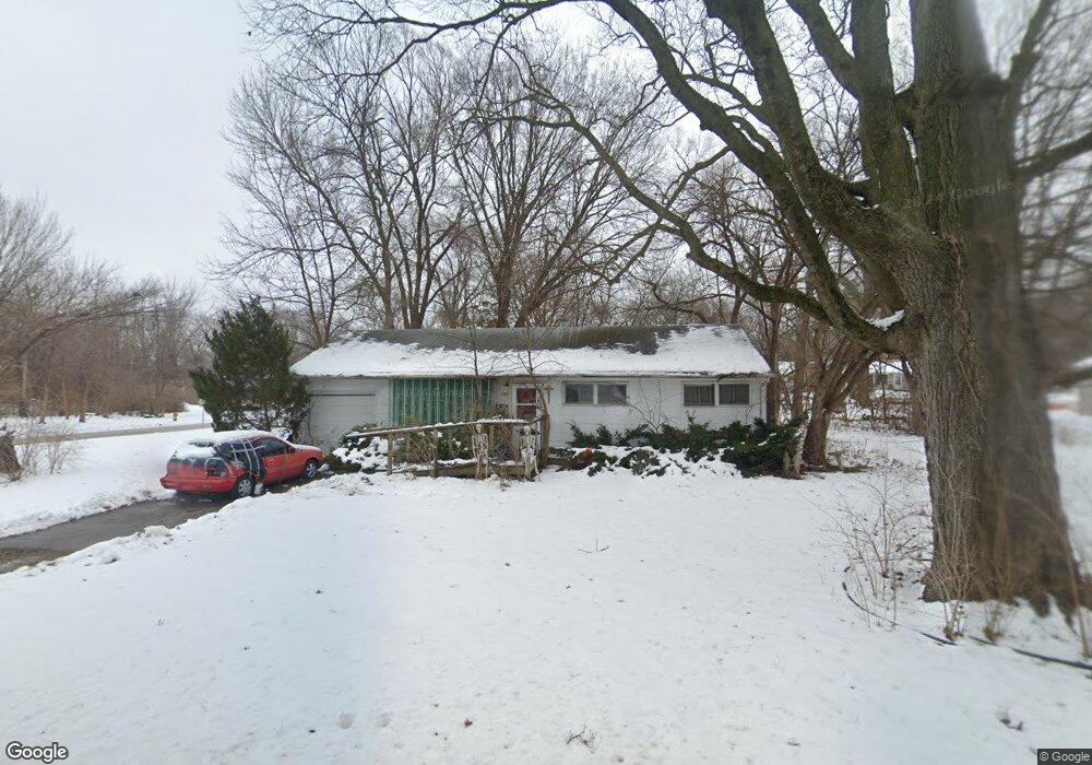
2022 Barker Ave Lawrence, KS 66046
Barker NeighborhoodEstimated Value: $207,000 - $247,000
About This Home
This home is located at 2022 Barker Ave, Lawrence, KS 66046 and is currently estimated at $227,113, approximately $249 per square foot. 2022 Barker Ave is a home located in Douglas County with nearby schools including Cordley Elementary School, Liberty Memorial Central Middle School, and Lawrence High School.
Ownership History
We collect this data history from publicly available records. To have your information removed, we recommend requesting removal directly through your county’s website.
Purchase Details
Home Financials for this Owner
Home Financials are based on the most recent Mortgage that was taken out on this home.Home Values in the Area
Average Home Value in this Area
Purchase History
We collect this data history from publicly available records. To have your information removed, we recommend requesting removal directly through your county’s website.
| Date | Buyer | Sale Price | Title Company |
|---|---|---|---|
| $122,000 | First American Title |
Mortgage History
We collect this data history from publicly available records. To have your information removed, we recommend requesting removal directly through your county’s website.
| Date | Status | Borrower | Loan Amount |
|---|---|---|---|
| Closed | $106,800 | ||
| Closed | $107,000 |
Tax History
We collect this data history from publicly available records. To have your information removed, we recommend requesting removal directly through your county’s website.
| Year | Tax Paid | Tax Assessment Tax Assessment Total Assessment is a certain percentage of the fair market value that is determined by local assessors to be the total taxable value of land and additions on the property. | Land | Improvement |
|---|---|---|---|---|
| 2025 | $2,675 | $22,207 | $9,200 | $13,007 |
| 2024 | $2,582 | $21,471 | $8,625 | $12,846 |
| 2023 | $2,673 | $21,126 | $6,900 | $14,226 |
| 2022 | $2,441 | $19,191 | $6,325 | $12,866 |
| 2021 | $2,103 | $15,916 | $5,175 | $10,741 |
| 2020 | $2,068 | $15,732 | $5,175 | $10,557 |
| 2019 | $2,061 | $15,697 | $4,947 | $10,750 |
| 2018 | $1,951 | $14,766 | $4,720 | $10,046 |
| 2017 | $1,794 | $13,455 | $4,720 | $8,735 |
| 2016 | $1,730 | $13,558 | $4,884 | $8,674 |
| 2015 | $1,763 | $13,811 | $4,884 | $8,927 |
| 2014 | $1,746 | $13,811 | $4,884 | $8,927 |
Map
- 2035 Barker Ave
- 1908 New Hampshire St
- 1929 Massachusetts St
- 1831 Barker Ave
- 2115 Massachusetts St
- 1832 New Hampshire St
- 2022 Kentucky St
- 1820 Vermont St
- 1915 Kentucky St
- 5605 Johnson Ave
- 717 Beatnik Ct
- 1645 Barker Ave
- 2210 Louisiana St
- 628 Greever Terrace
- 1521 Rhode Island St
- 1526 Vermont St
- 1616 Louisiana St
- 903 Anna Tappan Way
- 907 Anna Tappan Way
- 1825 Brook St
- 2017 Barker Ave
- 2023 Barker Ave
- 2016 Rhode Island St
- 2007 Barker Ave
- 2010 Rhode Island St
- 2025 Barker Ave
- 2022 Rhode Island St
- 2006 Rhode Island St
- 2027 Barker Ave
- 2028 Rhode Island St
- 2000 Rhode Island St
- 2026 Barker Ave
- 2019 Barker Ct
- 2032 Rhode Island St
- 2000 Barker Ave
- 2030 Barker Ave
- 2013 Rhode Island St
- 2021 Rhode Island St
- 2039 Barker Ave
- 2009 Rhode Island St
Ask me questions while you tour the home.