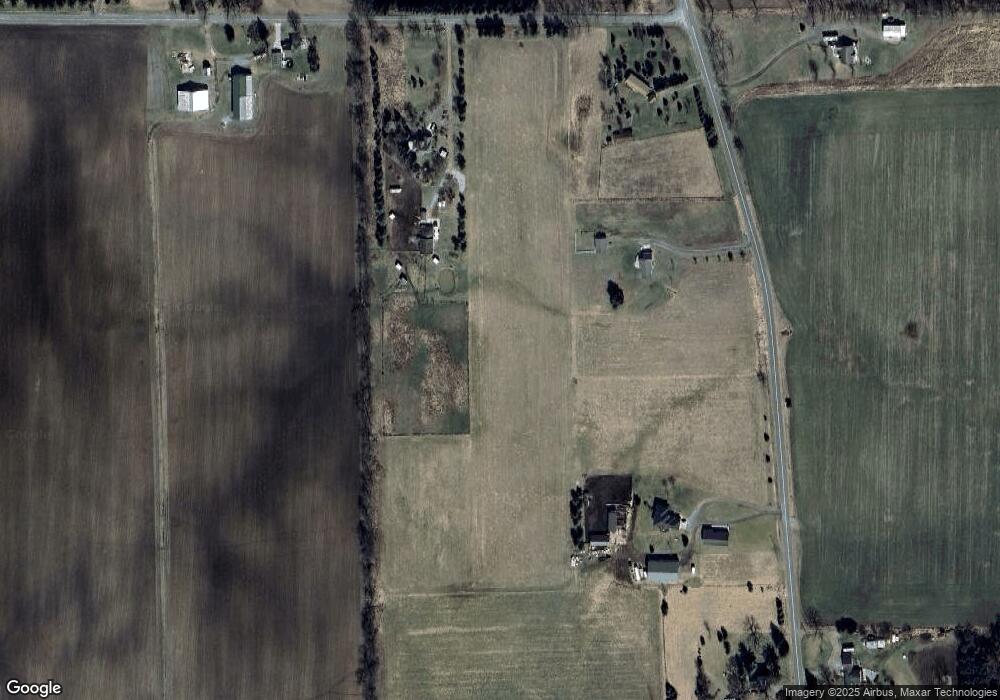
2022 Curtis Rd Dansville, MI 48819
Estimated Value: $349,000 - $449,000
--
Bed
--
Bath
1,732
Sq Ft
$238/Sq Ft
Est. Value
About This Home
This home is located at 2022 Curtis Rd, Dansville, MI 48819 and is currently estimated at $411,853, approximately $237 per square foot. 2022 Curtis Rd is a home located in Ingham County with nearby schools including Dansville Elementary School, Dansville Middle School, and Dansville High School.
Ownership History
Date
Name
Owned For
Owner Type
Purchase Details
Closed on
Dec 30, 2015
Sold by
Jackson Jonathon and Jackson Jonathon Leonard
Bought by
Johnson Kenneth I and Johnson Brandy L
Current Estimated Value
Purchase Details
Closed on
Mar 20, 2012
Sold by
Ingham County Treasurer
Bought by
Heuer Laurance
Purchase Details
Closed on
Nov 9, 2006
Sold by
Sawyer Cynthia and Sawyer James
Bought by
Deutsche Bank National Trust Co and Gsamp Trust 2006-He1
Purchase Details
Closed on
Jun 25, 2003
Sold by
Hegge Wenda Caroline and Hegge Randall L
Bought by
Teachout Melanie
Home Financials for this Owner
Home Financials are based on the most recent Mortgage that was taken out on this home.
Original Mortgage
$161,500
Interest Rate
5.3%
Create a Home Valuation Report for This Property
The Home Valuation Report is an in-depth analysis detailing your home's value as well as a comparison with similar homes in the area
Home Values in the Area
Average Home Value in this Area
Purchase History
| Date | Buyer | Sale Price | Title Company |
|---|---|---|---|
| Johnson Kenneth I | $50,000 | None Available | |
| Heuer Laurance | $1,433 | None Available | |
| Deutsche Bank National Trust Co | $136,000 | None Available | |
| Teachout Melanie | $170,000 | Transnation Title |
Source: Public Records
Mortgage History
| Date | Status | Borrower | Loan Amount |
|---|---|---|---|
| Previous Owner | Teachout Melanie | $161,500 |
Source: Public Records
Tax History Compared to Growth
Tax History
| Year | Tax Paid | Tax Assessment Tax Assessment Total Assessment is a certain percentage of the fair market value that is determined by local assessors to be the total taxable value of land and additions on the property. | Land | Improvement |
|---|---|---|---|---|
| 2025 | $5,809 | $212,400 | $46,400 | $166,000 |
| 2024 | $17 | $200,100 | $39,600 | $160,500 |
| 2023 | $5,414 | $181,800 | $37,700 | $144,100 |
| 2022 | $5,150 | $140,800 | $25,500 | $115,300 |
| 2021 | $5,056 | $141,900 | $23,700 | $118,200 |
| 2020 | $4,929 | $120,400 | $23,100 | $97,300 |
| 2019 | $4,947 | $114,900 | $21,100 | $93,800 |
| 2018 | $5,007 | $119,500 | $17,900 | $101,600 |
| 2017 | $823 | $21,983 | $21,983 | $0 |
| 2016 | $1,118 | $18,686 | $18,686 | $0 |
| 2015 | -- | $17,587 | $0 | $0 |
| 2014 | -- | $17,587 | $0 | $0 |
Source: Public Records
Map
Nearby Homes
- VL N Williamston Rd
- 905 Union St
- 354 S Clark Rd
- 1118 S Jackson St
- Lot 4 E Dexter Trail
- Lot 3 E Dexter Trail
- 1474 E Dexter Trail Unit Dansville MI 48819
- 1474 E Dexter Trail
- 2280 Swan Rd
- Lot 7 Sunset Ave
- Lot 5 Sunset Ave
- Lot 8 7 Gables Rd
- Lot 6 Sunset Ave
- 0 W Dansville Rd
- 595 W Howell Rd
- 1370 N Dietz Rd
- 2260 Holt Rd
- 1940 Meech Rd
- 2061 N Williamston Rd
- 2300 Mount Pleasant Rd
- 2022 Curtis Rd
- 1857 Curtis Rd
- 1823 Curtis Rd
- 0 Curtis Rd
- 1775 Curtis Rd
- 1778 Curtis Rd
- 1773 Curtis Rd
- 1961 Curtis Rd
- 1984 Curtis Rd
- 1931 Curtis Rd
- 1709 Curtis Rd
- 1808 E Columbia Rd
- 1670 Curtis Rd
- 1804 E Columbia Rd
- 1788 E Columbia Rd
- 226 S Osborne Rd
- 1852 E Columbia Rd
- 1637 Curtis Rd
- 1780 E Columbia Rd
- 266 S Osborne Rd
