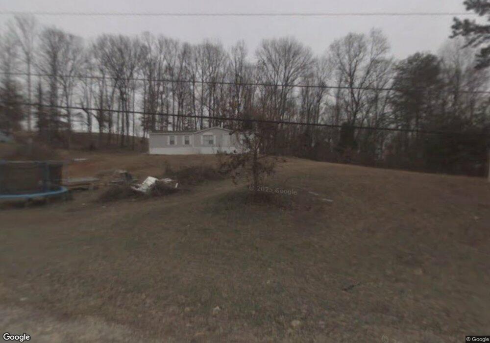
2022 Ruthena Cir Morristown, TN 37813
Estimated Value: $154,000 - $194,000
--
Bed
2
Baths
1,512
Sq Ft
$114/Sq Ft
Est. Value
About This Home
This home is located at 2022 Ruthena Cir, Morristown, TN 37813 and is currently estimated at $171,667, approximately $113 per square foot. 2022 Ruthena Cir is a home located in Hamblen County with nearby schools including Union Heights Elementary School, East Ridge Middle School, and Morristown East High School.
Ownership History
Date
Name
Owned For
Owner Type
Purchase Details
Closed on
Mar 27, 2013
Sold by
Bargy Debra J
Bought by
Bargy Debra J and Bargy Paul
Current Estimated Value
Purchase Details
Closed on
Sep 12, 2012
Sold by
Nesmith Carrie
Bought by
Us Bank Na Trustee and C/O Green Tree Servicing Llc
Purchase Details
Closed on
Aug 30, 2000
Sold by
Kirk Johnny and Kirk Carmen
Bought by
Nesmith Carrie
Purchase Details
Closed on
Jul 24, 1995
Sold by
Warren & Masengill Inc
Bought by
Johnny Kirk
Purchase Details
Closed on
Nov 23, 1981
Bought by
Warren & Masengill Inc
Purchase Details
Closed on
Jun 12, 1974
Create a Home Valuation Report for This Property
The Home Valuation Report is an in-depth analysis detailing your home's value as well as a comparison with similar homes in the area
Home Values in the Area
Average Home Value in this Area
Purchase History
| Date | Buyer | Sale Price | Title Company |
|---|---|---|---|
| Bargy Debra J | -- | -- | |
| Bargy Debra J | $25,000 | -- | |
| Us Bank Na Trustee | $49,559 | -- | |
| Nesmith Carrie | $20,000 | -- | |
| Johnny Kirk | $8,950 | -- | |
| Warren & Masengill Inc | -- | -- | |
| -- | -- | -- |
Source: Public Records
Tax History Compared to Growth
Tax History
| Year | Tax Paid | Tax Assessment Tax Assessment Total Assessment is a certain percentage of the fair market value that is determined by local assessors to be the total taxable value of land and additions on the property. | Land | Improvement |
|---|---|---|---|---|
| 2024 | $438 | $22,250 | $3,675 | $18,575 |
| 2023 | $438 | $22,250 | $0 | $0 |
| 2022 | $438 | $22,250 | $3,675 | $18,575 |
| 2021 | $438 | $22,250 | $3,675 | $18,575 |
| 2020 | $361 | $22,250 | $3,675 | $18,575 |
| 2019 | $361 | $16,950 | $3,625 | $13,325 |
| 2018 | $361 | $16,950 | $3,625 | $13,325 |
| 2017 | $361 | $16,950 | $3,625 | $13,325 |
| 2016 | $337 | $16,950 | $3,625 | $13,325 |
| 2015 | $314 | $16,950 | $3,625 | $13,325 |
| 2014 | -- | $16,950 | $3,625 | $13,325 |
| 2013 | -- | $19,350 | $0 | $0 |
Source: Public Records
Map
Nearby Homes
- 2137 Highview Dr
- 2205 Kingswood Dr
- 1744 Carroll Rd
- 1689 Carroll Rd
- 2840-2830 Robinson Creek Rd
- 1496 Dover Rd
- 1575 Thompson Creek Rd
- 0 Thompson Creek Rd
- 1148 George Byrd Rd
- 3661 Halifax Cir
- 4271 Stansberry Rd
- 4270 Brockland Dr
- 0 Springvale Rd
- 3080 Chucky River Rd
- 4581 Lockley Ct
- 1342 Slop Creek Rd
- 4705 E Hampton Blvd
- 4458 Brockland Dr
- 358 Dover Rd
- 1992 Ruthena Cir
- 2052 Ruthena Cir
- 1971 Ruthena Cir
- 1972 Ruthena Cir
- 3125 Big Woods Dr
- 2084 Ruthena Cir
- 1962 Ruthena Cir
- 3184 Gary St
- 2040 Highview Dr
- 2035 Highview Dr
- 2035 Highview Dr
- 2090 Ruthena Cir
- 3115 Big Woods Dr
- 3105 Big Woods Dr
- 3091 Big Woods Dr
- 3150 Big Woods Dr
- 2050 Highview Dr
- 1975 Herron Dr
- 2070 Highview Dr
- 1921 Ruthena Cir