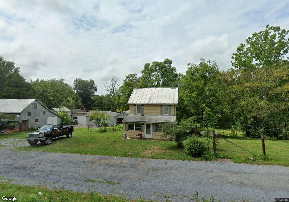
2022 Tyrone Rd Westminster, MD 21158
Estimated Value: $205,000 - $387,107
About This Home
This home is located at 2022 Tyrone Rd, Westminster, MD 21158 and is currently estimated at $316,277, approximately $235 per square foot. 2022 Tyrone Rd is a home located in Carroll County with nearby schools including Runnymede Elementary School, Northwest Middle School, and Francis Scott Key High School.
Ownership History
We collect this data history from publicly available records. To have your information removed, we recommend requesting removal directly through your county’s website.
Purchase Details
Home Financials for this Owner
Home Financials are based on the most recent Mortgage that was taken out on this home.Purchase Details
Purchase History
We collect this data history from publicly available records. To have your information removed, we recommend requesting removal directly through your county’s website.
| Date | Buyer | Sale Price | Title Company |
|---|---|---|---|
| $130,000 | None Available | ||
| -- | None Available |
Mortgage History
We collect this data history from publicly available records. To have your information removed, we recommend requesting removal directly through your county’s website.
| Date | Status | Borrower | Loan Amount |
|---|---|---|---|
| Open | $123,500 |
Tax History
We collect this data history from publicly available records. To have your information removed, we recommend requesting removal directly through your county’s website.
| Year | Tax Paid | Tax Assessment Tax Assessment Total Assessment is a certain percentage of the fair market value that is determined by local assessors to be the total taxable value of land and additions on the property. | Land | Improvement |
|---|---|---|---|---|
| 2025 | $2,446 | $213,100 | $0 | $0 |
| 2024 | $2,344 | $204,000 | $0 | $0 |
| 2023 | $2,243 | $194,900 | $126,200 | $68,700 |
| 2022 | $2,200 | $191,100 | $0 | $0 |
| 2021 | $4,473 | $187,300 | $0 | $0 |
| 2020 | $2,133 | $183,500 | $126,200 | $57,300 |
| 2019 | $1,868 | $183,500 | $126,200 | $57,300 |
| 2018 | $2,136 | $183,500 | $126,200 | $57,300 |
| 2017 | $1,198 | $185,000 | $0 | $0 |
| 2016 | -- | $185,000 | $0 | $0 |
| 2015 | -- | $185,000 | $0 | $0 |
| 2014 | -- | $187,500 | $0 | $0 |
Map
- 2402 Windisch Dr
- 2650 Baumgardner Rd
- 2625 Old Taneytown Rd
- 1915 Old Taneytown Rd
- 2400 Dairyland Dr
- 1624 Baust Church Rd
- 831 Deer Ridge Dr
- 3444 Old Taneytown Rd
- 868 Deer Ridge Dr
- 0 Deer Ridge Dr Unit MDCR2028308
- 3529 Littlestown Pike
- 3418 Littlestown Pike
- 305 Crowl Rd
- 411 Pleasant Valley Rd
- 0 Pinch Valley Rd Unit MDCR2010438
- 2816 Littlestown Pike
- 1330 Old Taneytown Rd
- 3906 Littlestown Pike
- 1244 Cherrytown Rd
- 2934 Kump Station Rd
- 2045 Tyrone Rd
- 1988 Tyrone Rd
- 2001 Tyrone Rd
- 2055 Tyrone Rd
- 2059 Tyrone Rd
- 1955 Tyrone Rd
- 2067 Tyrone Rd
- 2071 Tyrone Rd
- 1918 Tyrone Rd
- 2116 Richardson Rd
- 2101 Tyrone Rd
- 2114 Richardson Rd
- 2118 Richardson Rd
- 2118 Tyrone Rd
- 2123 Tyrone Rd
- 2112 Richardson Rd
- 1933 Tyrone Rd
- 2124 Richardson Rd
- 2073 Tyrone Rd
- 2110 Richardson Rd
Ask me questions while you tour the home.