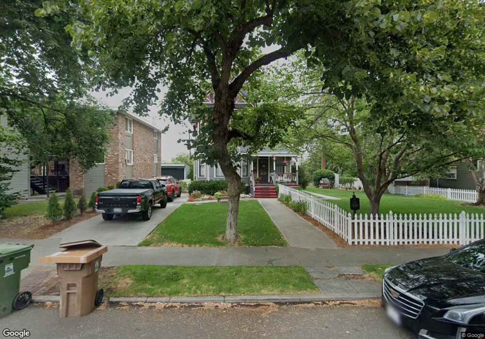
2022 W 1st Ave Spokane, WA 99201
Browne's Addition NeighborhoodEstimated Value: $603,891 - $1,117,000
5
Beds
3
Baths
5,000
Sq Ft
$155/Sq Ft
Est. Value
About This Home
This home is located at 2022 W 1st Ave, Spokane, WA 99201 and is currently estimated at $775,723, approximately $155 per square foot. 2022 W 1st Ave is a home located in Spokane County with nearby schools including Roosevelt Elementary School, Sacajawea Middle School, and Lewis & Clark High School.
Ownership History
Date
Name
Owned For
Owner Type
Purchase Details
Closed on
May 31, 2006
Sold by
Tankersley Nancy A
Bought by
Dewey Michael J and Dewey Tami M
Current Estimated Value
Home Financials for this Owner
Home Financials are based on the most recent Mortgage that was taken out on this home.
Original Mortgage
$243,600
Outstanding Balance
$95,792
Interest Rate
1%
Mortgage Type
Negative Amortization
Estimated Equity
$679,931
Purchase Details
Closed on
Sep 22, 1997
Sold by
Sharp David A
Bought by
Tankersley Nancy A
Create a Home Valuation Report for This Property
The Home Valuation Report is an in-depth analysis detailing your home's value as well as a comparison with similar homes in the area
Home Values in the Area
Average Home Value in this Area
Purchase History
| Date | Buyer | Sale Price | Title Company |
|---|---|---|---|
| Dewey Michael J | $304,500 | Pacific Nw Title | |
| Tankersley Nancy A | -- | -- |
Source: Public Records
Mortgage History
| Date | Status | Borrower | Loan Amount |
|---|---|---|---|
| Open | Dewey Michael J | $243,600 |
Source: Public Records
Tax History Compared to Growth
Tax History
| Year | Tax Paid | Tax Assessment Tax Assessment Total Assessment is a certain percentage of the fair market value that is determined by local assessors to be the total taxable value of land and additions on the property. | Land | Improvement |
|---|---|---|---|---|
| 2025 | $5,126 | $506,700 | $85,000 | $421,700 |
| 2024 | $5,126 | $516,900 | $100,000 | $416,900 |
| 2023 | $5,578 | $536,800 | $100,000 | $436,800 |
| 2022 | $5,104 | $570,850 | $90,350 | $480,500 |
| 2021 | $4,815 | $405,150 | $63,250 | $341,900 |
| 2020 | $4,559 | $369,550 | $63,250 | $306,300 |
| 2019 | $4,020 | $336,450 | $63,250 | $273,200 |
| 2018 | $4,441 | $319,450 | $63,250 | $256,200 |
| 2017 | $3,984 | $291,820 | $81,320 | $210,500 |
| 2016 | $4,027 | $288,620 | $81,320 | $207,300 |
| 2015 | $3,972 | $278,520 | $81,320 | $197,200 |
| 2014 | -- | $296,220 | $81,320 | $214,900 |
| 2013 | -- | $0 | $0 | $0 |
Source: Public Records
Map
Nearby Homes
- 1927 W Riverside Ave
- 220 S Elm St
- 2320 W Bennett Ave
- 2025 W 4th Ave
- LOT W 3rd Ave
- 174 S Coeur D'Alene #H301 St Unit H301
- 405 S Coeur D'Alene St Unit 11
- 2128 W 5th Ave
- 2103 W 5th Ave
- 2368 W Centennial Place
- 2203 W 5th Ave Unit 2A
- 2408 W Centennial Place
- 2217 W 5th Ave
- 174 S Coeur D'Alene St Unit H 303
- 2205 W Bridge Ave
- 1810 W Summit Pkwy
- 1415 W 67th Ave
- 1415 W 67th Ave Unit Lot 1 Block 4 - Tale
- 535 S Coeur D'Alene St
- 1827 W Bridge Ave
- 2014 W 1st Ave
- 2028 W 1st Ave
- 2019 W Riverside Ave
- 2006 W 1st Ave
- 2027 W Riverside Ave
- 2003 W Riverside Ave
- 2011 W 1st Ave
- 2027 W 1st Ave
- 2106 W 1st Ave
- 2014 W Riverside Ave
- 2020 W Pacific Ave
- 2024 W Pacific Ave Unit 6
- 2024 W Pacific Ave Unit 2
- 2024 W Pacific Ave Unit 1
- 2024 W Pacific Ave Unit 4
- 2024 W Pacific Ave
- 2012 W Pacific Ave
- 2114 W 1st Ave
- 2028 W Pacific Ave Unit 1
- 2028 W Pacific Ave Unit 3