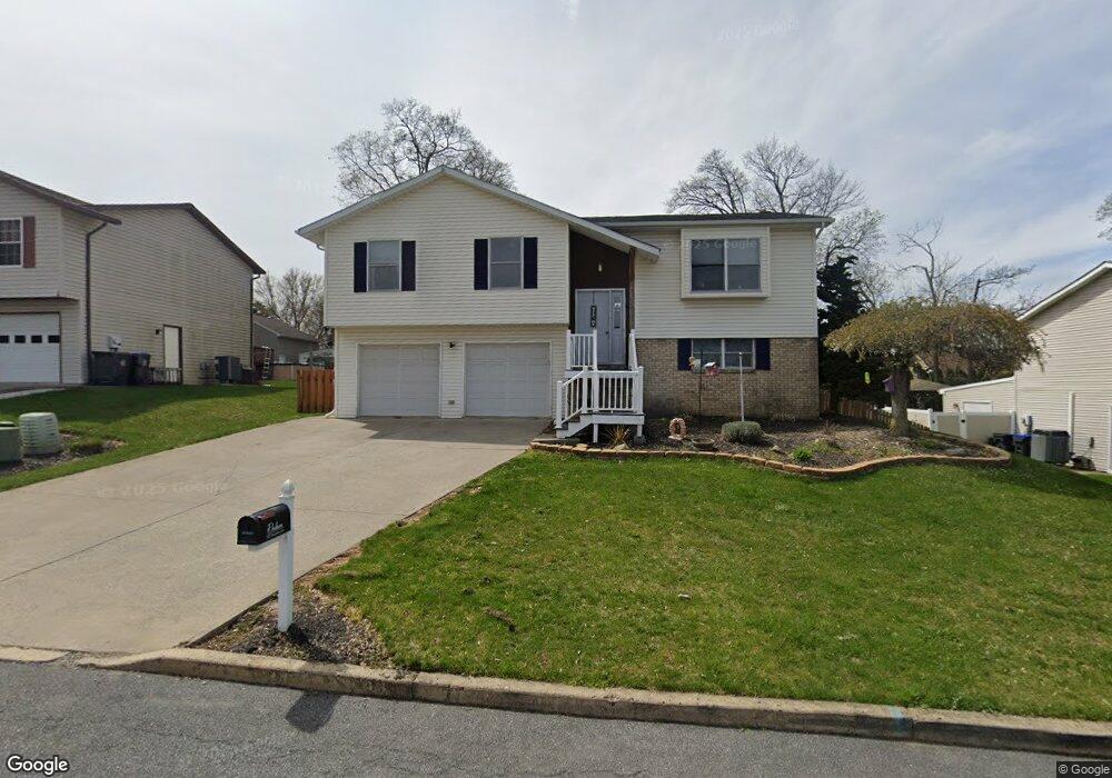
2022 Woodside Ct Allentown, PA 18103
Southside NeighborhoodEstimated Value: $384,606 - $414,000
4
Beds
2
Baths
1,924
Sq Ft
$209/Sq Ft
Est. Value
About This Home
This home is located at 2022 Woodside Ct, Allentown, PA 18103 and is currently estimated at $402,902, approximately $209 per square foot. 2022 Woodside Ct is a home located in Lehigh County with nearby schools including Donahoe Elementary School, Dumbarton Elementary School, and Salisbury Elementary School.
Ownership History
Date
Name
Owned For
Owner Type
Purchase Details
Closed on
Nov 27, 2013
Sold by
Bicking Keith A and Bicking Dawn K
Bought by
Dodson Ian and Dodson Jaime L
Current Estimated Value
Home Financials for this Owner
Home Financials are based on the most recent Mortgage that was taken out on this home.
Original Mortgage
$171,830
Outstanding Balance
$128,835
Interest Rate
4.29%
Mortgage Type
FHA
Estimated Equity
$274,067
Purchase Details
Closed on
Jun 3, 1998
Sold by
Liz Corporation
Bought by
Bicking Keith A and Bicking Dawn K
Purchase Details
Closed on
Aug 30, 1985
Bought by
Liz Corporation
Create a Home Valuation Report for This Property
The Home Valuation Report is an in-depth analysis detailing your home's value as well as a comparison with similar homes in the area
Home Values in the Area
Average Home Value in this Area
Purchase History
| Date | Buyer | Sale Price | Title Company |
|---|---|---|---|
| Dodson Ian | $175,000 | None Available | |
| Bicking Keith A | $134,600 | -- | |
| Liz Corporation | $108,000 | -- |
Source: Public Records
Mortgage History
| Date | Status | Borrower | Loan Amount |
|---|---|---|---|
| Open | Dodson Ian | $171,830 |
Source: Public Records
Tax History Compared to Growth
Tax History
| Year | Tax Paid | Tax Assessment Tax Assessment Total Assessment is a certain percentage of the fair market value that is determined by local assessors to be the total taxable value of land and additions on the property. | Land | Improvement |
|---|---|---|---|---|
| 2025 | $6,233 | $197,900 | $36,900 | $161,000 |
| 2024 | $5,955 | $197,900 | $36,900 | $161,000 |
| 2023 | $5,649 | $197,900 | $36,900 | $161,000 |
| 2022 | $5,507 | $197,900 | $161,000 | $36,900 |
| 2021 | $5,286 | $197,900 | $36,900 | $161,000 |
| 2020 | $5,080 | $197,900 | $36,900 | $161,000 |
| 2019 | $4,895 | $197,900 | $36,900 | $161,000 |
| 2018 | $4,808 | $197,900 | $36,900 | $161,000 |
| 2017 | $4,685 | $197,900 | $36,900 | $161,000 |
| 2016 | -- | $197,900 | $36,900 | $161,000 |
| 2015 | -- | $197,900 | $36,900 | $161,000 |
| 2014 | -- | $197,900 | $36,900 | $161,000 |
Source: Public Records
Map
Nearby Homes
- 1865 Chapel Ave
- 102 W Brookdale St
- 121 Woodcrest Cir
- 2429 S Front St
- 206 208 W Emaus Ave
- 2421 S Wood St
- 320 E Paoli St
- 148 W Brookdale St
- 1852 S 2nd St
- 203 W Brookdale St
- 135 W Wabash St
- 127 E Lynnwood St
- 2441 S 4th St
- 2331 S Filbert St
- 316 W Mountain Rd
- 514 E Lexington St
- 2416 S Alice St Unit 2418
- 2347 S Law St Unit 2349
- 566 W Emaus Ave
- 566 588 W Emaus Ave
- 2018 Woodside Ct
- 2026 Woodside Ct
- 2001 S Bradford St
- 1941 S Bradford St
- 2007 S Bradford St
- 2014 Woodside Ct
- 2017 Woodside Ct
- 2021 Woodside Ct
- 2013 Woodside Ct
- 2102 Woodside Ct
- 2006 S Bradford St
- 1950 S Bradford St
- 2002 S Bradford St Unit 2010
- 2009 Woodside Ct
- 2010 Woodside Ct
- 2021 S Bradford St
- 2010 S Bradford St
- 1927 S Bradford St
- 2101 Woodside Ct
- 2302 Cypress Ave