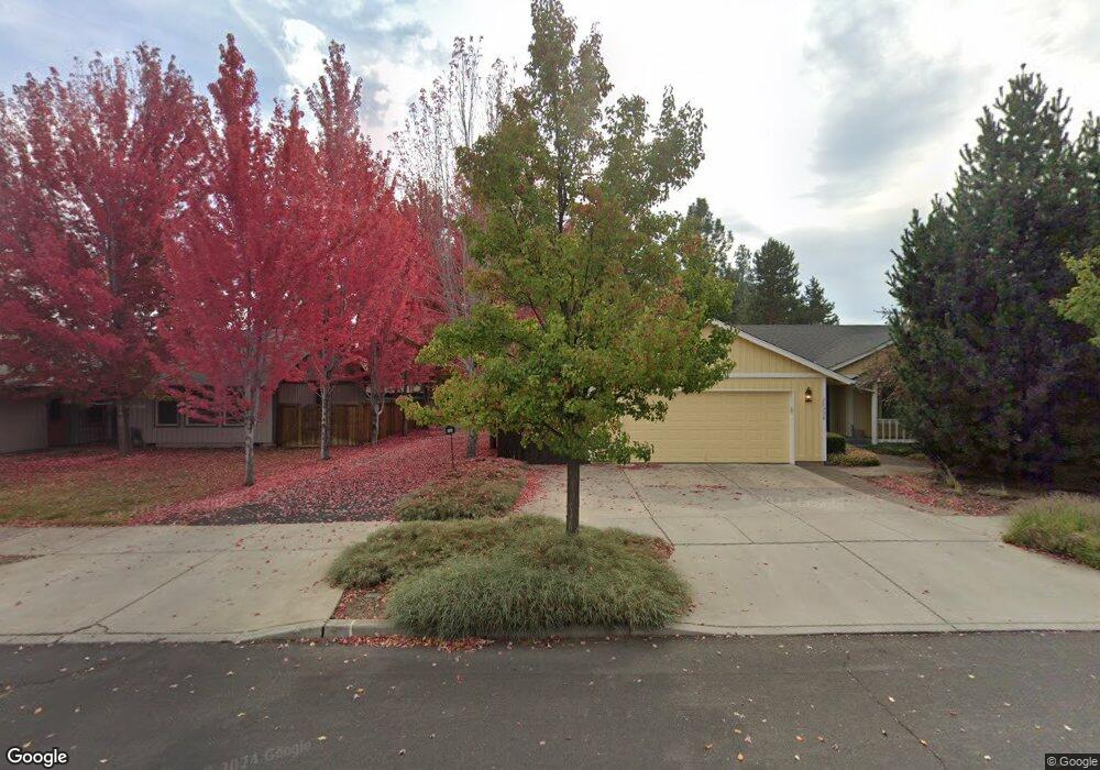
20220 Morgan Loop Bend, OR 97703
Boyd Acres NeighborhoodEstimated Value: $726,000 - $1,110,000
3
Beds
3
Baths
2,446
Sq Ft
$382/Sq Ft
Est. Value
About This Home
This home is located at 20220 Morgan Loop, Bend, OR 97703 and is currently estimated at $933,802, approximately $381 per square foot. 20220 Morgan Loop is a home located in Deschutes County with nearby schools including North Star Elementary School, Sky View Middle School, and Mountain View Senior High School.
Ownership History
Date
Name
Owned For
Owner Type
Purchase Details
Closed on
Oct 22, 2020
Sold by
Thornton Michael Eugene and Burley Virginia June
Bought by
Thornton-Burley Revocable Trust and Thornton
Current Estimated Value
Purchase Details
Closed on
Aug 16, 2010
Sold by
Grenfell Chari A
Bought by
Thornton Michael Eugene and Burley Virginia June
Home Financials for this Owner
Home Financials are based on the most recent Mortgage that was taken out on this home.
Original Mortgage
$223,200
Interest Rate
4.51%
Mortgage Type
Unknown
Purchase Details
Closed on
Mar 8, 2005
Sold by
Parker Peak Development Llc
Bought by
Grenfell James W and Grenfell Chari A
Home Financials for this Owner
Home Financials are based on the most recent Mortgage that was taken out on this home.
Original Mortgage
$160,000
Interest Rate
5.37%
Mortgage Type
Unknown
Purchase Details
Closed on
Dec 30, 2004
Sold by
Knoell Michael C
Bought by
Parker Peak Development Llc
Create a Home Valuation Report for This Property
The Home Valuation Report is an in-depth analysis detailing your home's value as well as a comparison with similar homes in the area
Home Values in the Area
Average Home Value in this Area
Purchase History
| Date | Buyer | Sale Price | Title Company |
|---|---|---|---|
| Thornton-Burley Revocable Trust | -- | None Listed On Document | |
| Thornton Michael Eugene | $279,000 | Amerititle | |
| Grenfell James W | $329,000 | Amerititle | |
| Parker Peak Development Llc | -- | Amerititle |
Source: Public Records
Mortgage History
| Date | Status | Borrower | Loan Amount |
|---|---|---|---|
| Previous Owner | Thornton Michael Eugene | $223,200 | |
| Previous Owner | Grenfell James W | $160,000 | |
| Closed | Grenfell James W | $100,000 |
Source: Public Records
Tax History
| Year | Tax Paid | Tax Assessment Tax Assessment Total Assessment is a certain percentage of the fair market value that is determined by local assessors to be the total taxable value of land and additions on the property. | Land | Improvement |
|---|---|---|---|---|
| 2025 | $8,486 | $502,220 | -- | -- |
| 2024 | $8,164 | $487,600 | -- | -- |
| 2023 | $7,568 | $473,400 | $0 | $0 |
| 2022 | $7,061 | $446,240 | $0 | $0 |
| 2021 | $7,072 | $433,250 | $0 | $0 |
| 2020 | $6,709 | $433,250 | $0 | $0 |
| 2019 | $6,522 | $420,640 | $0 | $0 |
| 2018 | $6,338 | $408,390 | $0 | $0 |
| 2017 | $6,134 | $396,500 | $0 | $0 |
| 2016 | $5,793 | $384,960 | $0 | $0 |
| 2015 | $5,547 | $373,750 | $0 | $0 |
| 2014 | $4,840 | $326,240 | $0 | $0 |
Source: Public Records
Map
Nearby Homes
- 63264 NW Rossby St
- 63262 N West Ski Ln
- 63266 NW Ski Ln
- 63290 NW Ski Ln
- 20211 Glen Vista Rd
- 63027 Fresca St
- 3650 N Hwy 97
- 20174 Archie Briggs Rd
- 20061 Glen Vista Rd
- 20514 NE Empire Ave
- 20528 NE Empire Ave
- 20532 NE Empire Ave
- 20530 NE Empire Ave
- 20534 Empire Ave
- 4034 NW Northcliff
- 20570 Fred Meyers Rd
- 20551 Gloucester Ln
- 63182 Iner Loop
- 20560 Boyd Ct
- 63106 NE Sophwith Ln
- 63241 Britta St
- 20314 Mariner Dr
- 63235 Britta St
- 63247 Britta St
- 63247 NW Britta St
- 20322 Mariner Dr
- 20228 Morgan Loop
- 20308 Mariner Dr
- 20232 Morgan Loop
- 20208 Morgan Loop
- 20214 Morgan Loop
- 20301 Mariner Dr
- 20321 NW Mariner Dr
- 20238 Morgan Loop
- 20302 Mariner Dr
- 63248 Britta St
- 21368 Shetland Loop
- 20398 Shetland Loop
Your Personal Tour Guide
Ask me questions while you tour the home.