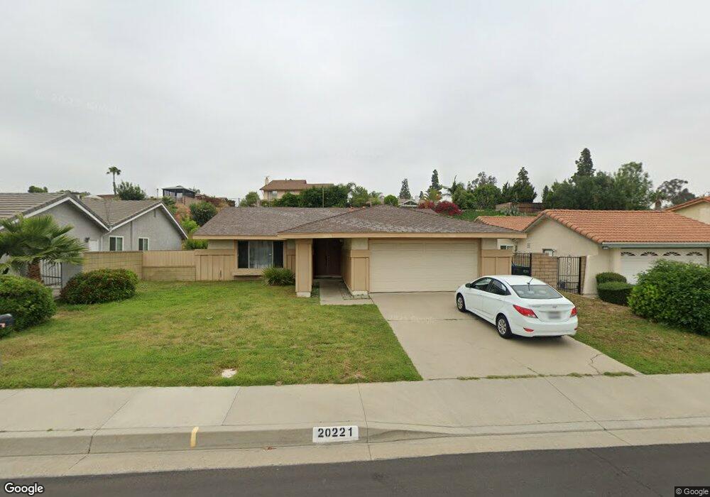
20221 Burnt Tree Ln Walnut, CA 91789
Walnut AreaEstimated Value: $884,000 - $1,102,000
About This Home
This home is located at 20221 Burnt Tree Ln, Walnut, CA 91789 and is currently estimated at $1,010,291, approximately $679 per square foot. 20221 Burnt Tree Ln is a home located in Los Angeles County with nearby schools including Cyrus J. Morris Elementary School, Suzanne Middle School, and Walnut High School.
Ownership History
We collect this data history from publicly available records. To have your information removed, we recommend requesting removal directly through your county’s website.
Purchase Details
Home Financials for this Owner
Home Financials are based on the most recent Mortgage that was taken out on this home.Home Values in the Area
Average Home Value in this Area
Purchase History
We collect this data history from publicly available records. To have your information removed, we recommend requesting removal directly through your county’s website.
| Date | Buyer | Sale Price | Title Company |
|---|---|---|---|
| $185,000 | Orange Coast Title Of Los An |
Mortgage History
We collect this data history from publicly available records. To have your information removed, we recommend requesting removal directly through your county’s website.
| Date | Status | Borrower | Loan Amount |
|---|---|---|---|
| Closed | $135,000 |
Tax History
We collect this data history from publicly available records. To have your information removed, we recommend requesting removal directly through your county’s website.
| Year | Tax Paid | Tax Assessment Tax Assessment Total Assessment is a certain percentage of the fair market value that is determined by local assessors to be the total taxable value of land and additions on the property. | Land | Improvement |
|---|---|---|---|---|
| 2025 | $4,641 | $314,408 | $190,008 | $124,400 |
| 2024 | $4,409 | $308,244 | $186,283 | $121,961 |
| 2023 | $4,311 | $302,201 | $182,631 | $119,570 |
| 2022 | $4,227 | $296,276 | $179,050 | $117,226 |
| 2021 | $4,149 | $290,468 | $175,540 | $114,928 |
| 2019 | $4,031 | $281,855 | $170,335 | $111,520 |
| 2018 | $3,824 | $276,330 | $166,996 | $109,334 |
| 2016 | $3,566 | $265,602 | $160,512 | $105,090 |
| 2015 | $3,568 | $261,613 | $158,101 | $103,512 |
| 2014 | $3,590 | $256,490 | $155,005 | $101,485 |
Map
- 650 Big Creek Ln
- 20405 Tufts Cir
- 20128 Diehl St
- 792 El Vallencito Dr
- 792 El Vallencito Dr
- 792 El Vallencito Dr
- 604 El Vallencito Dr
- 20538 Barnard Ave
- 753 El Vallencito Dr
- 330 Amberwood Dr
- 19910 Tennessee Trail
- 180 Ricci Ave
- 20008 E Monarch Ct
- 20631 Vejar Rd
- 20358 Fuerte Dr
- 535 San Roque Dr
- 1330 Waterbrook Cir
- 1468 Pierre Rd
- 0 Meadow Pass Rd
- 20487 Gartel Dr
- 20215 Burnt Tree Ln
- 20225 Burnt Tree Ln
- 20235 Burnt Tree Ln
- 20207 Burnt Tree Ln
- 20244 Red Cedar Dr
- 20252 Red Cedar Dr
- 20238 Red Cedar Dr
- 20220 Burnt Tree Ln
- 20258 Red Cedar Dr
- 20241 Burnt Tree Ln
- 20214 Burnt Tree Ln
- 20201 Burnt Tree Ln
- 20228 Burnt Tree Ln
- 20232 Red Cedar Dr
- 20208 Burnt Tree Ln
- 20234 Burnt Tree Ln
- 20224 Red Cedar Dr
- 20200 Burnt Tree Ln
- 20242 Burnt Tree Ln
- 20140 San Vicente Cir
Ask me questions while you tour the home.