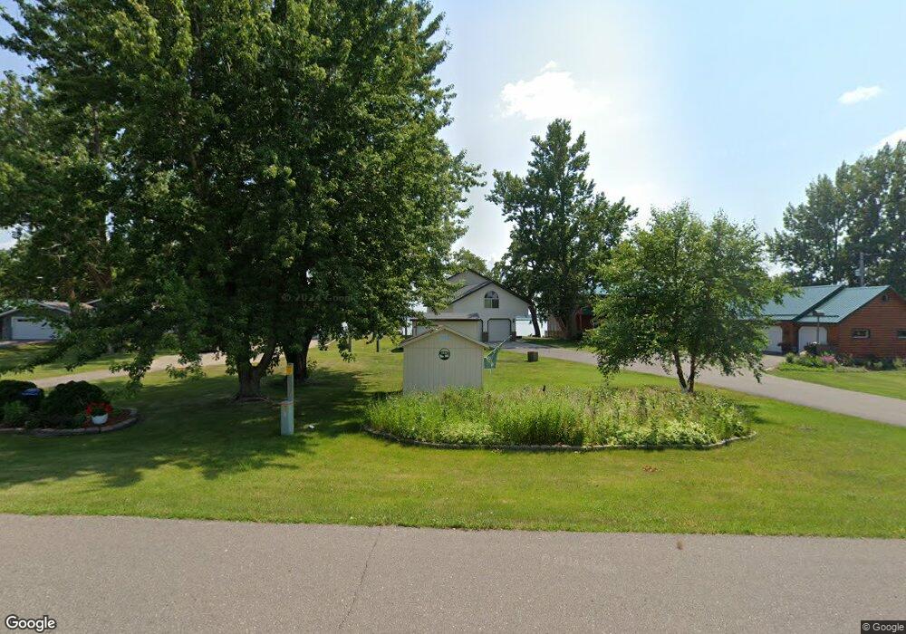
20224 450th St Pelican Rapids, MN 56572
Estimated Value: $505,000 - $635,239
3
Beds
3
Baths
2,760
Sq Ft
$214/Sq Ft
Est. Value
About This Home
This home is located at 20224 450th St, Pelican Rapids, MN 56572 and is currently estimated at $589,560, approximately $213 per square foot. 20224 450th St is a home located in Otter Tail County with nearby schools including Viking Elementary School and Pelican Rapids Secondary School.
Ownership History
Date
Name
Owned For
Owner Type
Purchase Details
Closed on
Apr 13, 2018
Sold by
Pickle Steven J and Pickle Brenda M
Bought by
Vonbank Mark
Current Estimated Value
Purchase Details
Closed on
Apr 17, 2015
Sold by
Becker David David
Bought by
Pickle Steven and Pickle Brenda
Home Financials for this Owner
Home Financials are based on the most recent Mortgage that was taken out on this home.
Original Mortgage
$392,000
Interest Rate
3.73%
Create a Home Valuation Report for This Property
The Home Valuation Report is an in-depth analysis detailing your home's value as well as a comparison with similar homes in the area
Home Values in the Area
Average Home Value in this Area
Purchase History
| Date | Buyer | Sale Price | Title Company |
|---|---|---|---|
| Vonbank Mark | $425,000 | The Title Co | |
| Pickle Steven | $395,000 | -- |
Source: Public Records
Mortgage History
| Date | Status | Borrower | Loan Amount |
|---|---|---|---|
| Previous Owner | Pickle Steven | $392,000 |
Source: Public Records
Tax History
| Year | Tax Paid | Tax Assessment Tax Assessment Total Assessment is a certain percentage of the fair market value that is determined by local assessors to be the total taxable value of land and additions on the property. | Land | Improvement |
|---|---|---|---|---|
| 2025 | $3,938 | $550,400 | $159,200 | $391,200 |
| 2024 | $4,036 | $546,100 | $155,200 | $390,900 |
| 2023 | $3,910 | $489,500 | $142,200 | $347,300 |
| 2022 | $3,506 | $391,000 | $0 | $0 |
| 2021 | $3,520 | $489,500 | $142,200 | $347,300 |
| 2020 | $3,524 | $358,300 | $96,500 | $261,800 |
| 2019 | $3,128 | $324,700 | $79,900 | $244,800 |
| 2018 | $3,066 | $324,700 | $79,900 | $244,800 |
| 2017 | $2,846 | $312,200 | $79,900 | $232,300 |
| 2016 | $2,740 | $279,200 | $73,200 | $206,000 |
| 2015 | $2,638 | $0 | $0 | $0 |
| 2014 | -- | $267,000 | $66,600 | $200,400 |
Source: Public Records
Map
Nearby Homes
- Tbd 430th St
- Lot 3, Block 1 Alivia's Ave
- Lot 4, Block 1 Alivia's Ave
- Lot 2, Block 1 Alivia's Ave
- Lot 1, Block 1 Alivia's Ave
- Lot 6, Block 1 Alivia's Ave
- Lot 5, Block 1 Alivia's Ave
- Lot 8, Block 2 Alivia's Ave
- Lot 9, Block 2 Alivia's Ave
- Lot 7, Block 1 Alivia's Ave
- Lot 7, Block 2 Alivia's Ave
- Lot 10, Block 2 Alivia's Ave
- Lot 5, Block 2 Alivia's Ave
- Lot 8, Block 1 Alivia's Ave
- Lot 11, Block 2 Alivia's Ave
- Lot 4, Block 2 Alivia's Ave
- Lot 9, Block 1 Alivia's Ave
- Lot 3, Block 2 Alivia's Ave
- Lot 1, Block 2 Alivia's Ave
- Lot 2, Block 2 Alivia's Ave
Your Personal Tour Guide
Ask me questions while you tour the home.