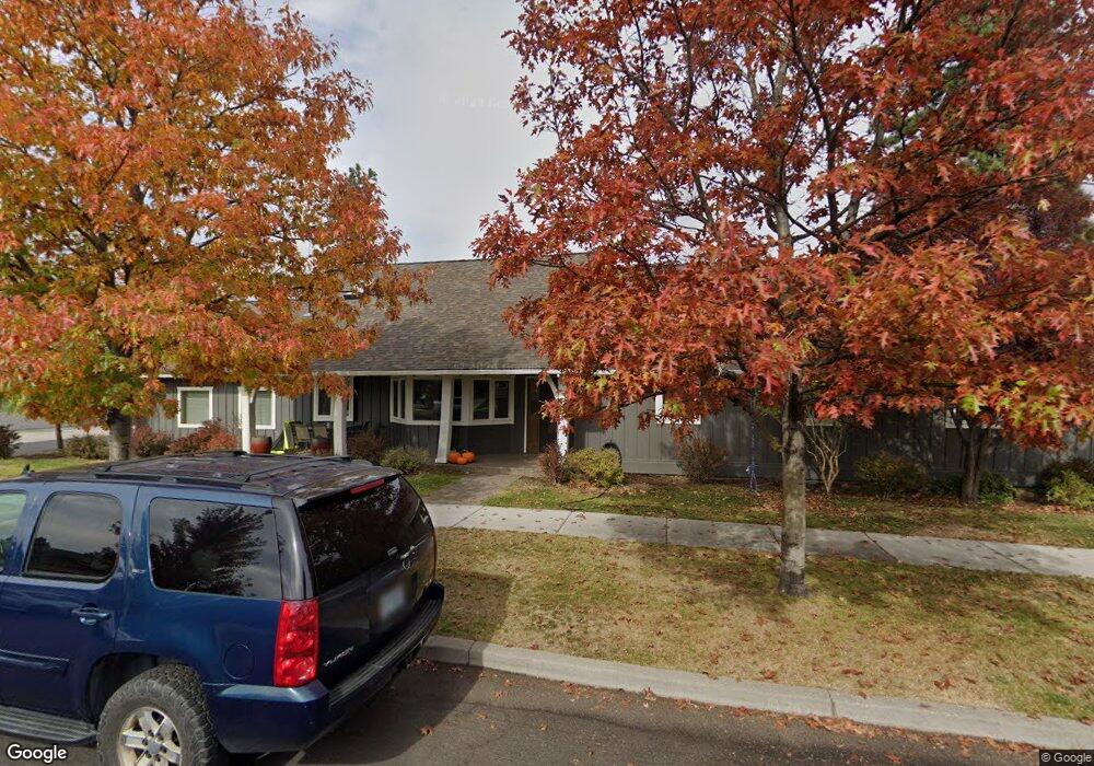
20226 Sirocco Ln Bend, OR 97701
Boyd Acres NeighborhoodEstimated Value: $574,000 - $748,000
3
Beds
2
Baths
1,933
Sq Ft
$339/Sq Ft
Est. Value
About This Home
This home is located at 20226 Sirocco Ln, Bend, OR 97701 and is currently estimated at $654,404, approximately $338 per square foot. 20226 Sirocco Ln is a home located in Deschutes County with nearby schools including North Star Elementary School, Sky View Middle School, and Mountain View Senior High School.
Ownership History
Date
Name
Owned For
Owner Type
Purchase Details
Closed on
Aug 5, 2022
Sold by
Rusling Dean M
Bought by
Sirocco Property Llc
Current Estimated Value
Purchase Details
Closed on
Mar 12, 2008
Sold by
Pokomoko Llc
Bought by
Rusling Dean M and Rusling Kathleen M
Home Financials for this Owner
Home Financials are based on the most recent Mortgage that was taken out on this home.
Original Mortgage
$200,000
Interest Rate
6.75%
Mortgage Type
Unknown
Purchase Details
Closed on
Feb 20, 2008
Sold by
Palmer Vernon C and Palmer Gretchen M
Bought by
Pokomoko Llc
Home Financials for this Owner
Home Financials are based on the most recent Mortgage that was taken out on this home.
Original Mortgage
$200,000
Interest Rate
6.75%
Mortgage Type
Unknown
Purchase Details
Closed on
Mar 29, 2007
Sold by
Vernon C Palmer Inc
Bought by
Palmer Vernon C and Palmer Gretchen M
Create a Home Valuation Report for This Property
The Home Valuation Report is an in-depth analysis detailing your home's value as well as a comparison with similar homes in the area
Home Values in the Area
Average Home Value in this Area
Purchase History
| Date | Buyer | Sale Price | Title Company |
|---|---|---|---|
| Sirocco Property Llc | -- | None Listed On Document | |
| Rusling Dean M | $250,000 | Western Title & Escrow Co | |
| Pokomoko Llc | -- | None Available | |
| Palmer Vernon C | $200,000 | Western Title & Escrow Co |
Source: Public Records
Mortgage History
| Date | Status | Borrower | Loan Amount |
|---|---|---|---|
| Previous Owner | Rusling Dean M | $200,000 |
Source: Public Records
Tax History
| Year | Tax Paid | Tax Assessment Tax Assessment Total Assessment is a certain percentage of the fair market value that is determined by local assessors to be the total taxable value of land and additions on the property. | Land | Improvement |
|---|---|---|---|---|
| 2025 | $4,656 | $275,560 | -- | -- |
| 2024 | $4,480 | $267,540 | -- | -- |
| 2023 | $4,153 | $259,750 | $0 | $0 |
| 2022 | $3,874 | $244,850 | $0 | $0 |
| 2021 | $3,880 | $237,720 | $0 | $0 |
| 2020 | $3,681 | $237,720 | $0 | $0 |
| 2019 | $3,579 | $230,800 | $0 | $0 |
| 2018 | $3,478 | $224,080 | $0 | $0 |
| 2017 | $3,376 | $217,560 | $0 | $0 |
| 2016 | $3,219 | $211,230 | $0 | $0 |
| 2015 | $3,130 | $205,080 | $0 | $0 |
| 2014 | $3,038 | $199,110 | $0 | $0 |
Source: Public Records
Map
Nearby Homes
- 63264 NW Rossby St
- 63266 NW Ski Ln
- 63290 NW Ski Ln
- 20211 Glen Vista Rd
- 63101 NW Via Cambria
- 20174 Archie Briggs Rd
- 800 NW Archie Briggs Rd
- 3650 N Hwy 97
- 3645 NW Falcon Ridge
- 20514 NE Empire Ave
- 3209 NW Fairway Heights Dr
- 20528 NE Empire Ave
- 20530 NE Empire Ave
- 20532 NE Empire Ave
- 20534 Empire Ave
- 63163 Boyd Acres Rd
- 20570 Fred Meyers Rd
- 1122 NW Foxwood Place
- 20585 Fred Meyers Rd
- 20551 Gloucester Ln
- 20226 NW Sirocco Ln
- 63273 Rossby St
- 63277 Rossby St
- 63263 Rossby St
- 63274 Newhall Place
- 63278 Newhall Place
- 63281 Rossby St
- 63259 Rossby St
- 63282 Newhall Place
- 63272 Rossby St
- 63268 NW Rossby St
- 63274 Rossby St
- 63262 Newhall Place
- 63278 Rossby St
- 63286 Newhall Place
- 63264 Rossby St
- 63285 NW Rossby St
- 0 Newhall Place Unit 61 201407093
- 63255 Rossby St
Your Personal Tour Guide
Ask me questions while you tour the home.