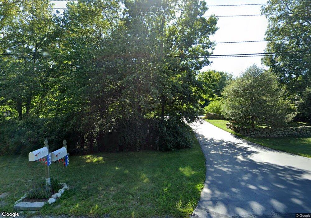
2023 Crandall Rd Tiverton, RI 02878
Four Corners NeighborhoodEstimated Value: $634,000 - $750,000
3
Beds
2
Baths
1,680
Sq Ft
$413/Sq Ft
Est. Value
About This Home
This home is located at 2023 Crandall Rd, Tiverton, RI 02878 and is currently estimated at $694,144, approximately $413 per square foot. 2023 Crandall Rd is a home located in Newport County with nearby schools including Tiverton High School.
Ownership History
Date
Name
Owned For
Owner Type
Purchase Details
Closed on
Jul 28, 2025
Sold by
Palmer Brian C and Palmer Carol M
Bought by
Palmer Irt and Palmer
Current Estimated Value
Purchase Details
Closed on
Nov 12, 2002
Sold by
Fernwood Bldg Co Inc
Bought by
Palmer Brian C and Palmer Carol
Create a Home Valuation Report for This Property
The Home Valuation Report is an in-depth analysis detailing your home's value as well as a comparison with similar homes in the area
Home Values in the Area
Average Home Value in this Area
Purchase History
| Date | Buyer | Sale Price | Title Company |
|---|---|---|---|
| Palmer Irt | -- | -- | |
| Palmer Irt | -- | -- | |
| Palmer Brian C | $243,000 | -- | |
| Palmer Brian C | $243,000 | -- |
Source: Public Records
Mortgage History
| Date | Status | Borrower | Loan Amount |
|---|---|---|---|
| Previous Owner | Palmer Brian C | $148,000 | |
| Previous Owner | Palmer Brian C | $50,000 | |
| Previous Owner | Palmer Brian C | $150,000 | |
| Previous Owner | Palmer Brian C | $50,000 |
Source: Public Records
Tax History Compared to Growth
Tax History
| Year | Tax Paid | Tax Assessment Tax Assessment Total Assessment is a certain percentage of the fair market value that is determined by local assessors to be the total taxable value of land and additions on the property. | Land | Improvement |
|---|---|---|---|---|
| 2025 | $6,720 | $608,100 | $203,300 | $404,800 |
| 2024 | $6,720 | $608,100 | $203,300 | $404,800 |
| 2023 | $6,809 | $457,000 | $167,400 | $289,600 |
| 2022 | $6,686 | $457,000 | $167,400 | $289,600 |
| 2021 | $6,521 | $457,000 | $167,400 | $289,600 |
| 2020 | $6,453 | $398,600 | $136,400 | $262,200 |
| 2019 | $6,294 | $398,600 | $136,400 | $262,200 |
| 2018 | $6,533 | $398,600 | $136,400 | $262,200 |
| 2017 | $6,186 | $324,700 | $136,400 | $188,300 |
| 2016 | $6,215 | $324,700 | $136,400 | $188,300 |
| 2015 | $6,215 | $324,700 | $136,400 | $188,300 |
| 2014 | $6,112 | $316,700 | $136,500 | $180,200 |
Source: Public Records
Map
Nearby Homes
- 184 Field Stone Ln
- 17 Quail Trail
- 116 Amy Hart Path
- 90 Two Rod Rd
- 0 S Lake Rd Unit 73361665
- 0 S Lake Rd Unit 1382842
- 0 S Lake Rd Unit 1400795
- 83 Long Hwy
- 245 John Dyer Rd
- 101 Adamsville Rd
- 1346 Main Rd Unit B
- 837 Main Road & Lot 2
- 837 Main Rd
- 505 Long Hwy
- 15 Village Way
- 8 Village Way
- 7 Village Way
- 255 John Dyer Rd
- 24 Peaceful Way
- 3622 Main Rd
- 2029 Crandall Rd
- 2017 Crandall Rd
- 2011 Crandall Rd
- 2033 Crandall Rd
- 2037 Crandall Rd
- 2003 Crandall Rd
- 15 Brookside Ln
- 9 Magnolia Way
- 3 Magnolia Way
- 1985 Crandall Rd
- 11 Brookside Ln
- 2 Magnolia Way
- 15 Magnolia Way
- 9 Brookside Ln
- 6 Magnolia Way
- 9 Crandall Rd
- 3 Crandall Rd
- 1975 Crandall Rd
- 10 Magnolia Way
- 11 Cedar Valley Way