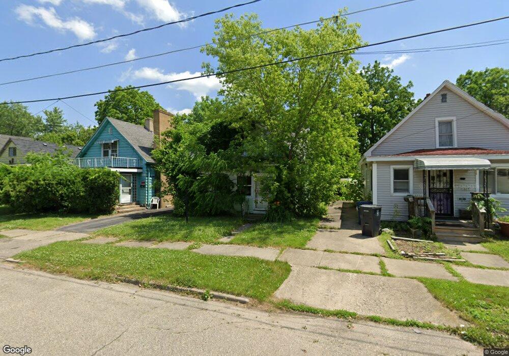
2023 Dwight Ave Flint, MI 48503
South Parks NeighborhoodEstimated Value: $29,000 - $51,000
3
Beds
1
Bath
715
Sq Ft
$58/Sq Ft
Est. Value
About This Home
This home is located at 2023 Dwight Ave, Flint, MI 48503 and is currently estimated at $41,667, approximately $58 per square foot. 2023 Dwight Ave is a home located in Genesee County with nearby schools including Freeman Elementary School, Flint Southwestern Classical Academy, and International Academy of Flint (K-12).
Ownership History
Date
Name
Owned For
Owner Type
Purchase Details
Closed on
Apr 7, 2016
Sold by
The Genesee County Land Bank Authority
Bought by
Sherrod Bryson
Current Estimated Value
Purchase Details
Closed on
Dec 22, 2014
Sold by
Genesee County Treasurer
Bought by
Genesee County Land Bank
Purchase Details
Closed on
Apr 27, 2007
Sold by
Horton Glenn and Horton Shirla
Bought by
Gcsy Properties Llc
Purchase Details
Closed on
Oct 27, 2003
Sold by
Smith Hazel M and Fellows Hazel
Bought by
Horton Glenn C and Horton Shirla Y
Create a Home Valuation Report for This Property
The Home Valuation Report is an in-depth analysis detailing your home's value as well as a comparison with similar homes in the area
Home Values in the Area
Average Home Value in this Area
Purchase History
| Date | Buyer | Sale Price | Title Company |
|---|---|---|---|
| Sherrod Bryson | $4,000 | None Available | |
| Genesee County Land Bank | -- | None Available | |
| Gcsy Properties Llc | -- | None Available | |
| Horton Glenn C | $16,000 | Guaranty Title Company | |
| Smith Hazel M | $18,000 | Guaranty Title Company |
Source: Public Records
Mortgage History
| Date | Status | Borrower | Loan Amount |
|---|---|---|---|
| Closed | Sherrod Bryson | $0 |
Source: Public Records
Tax History
| Year | Tax Paid | Tax Assessment Tax Assessment Total Assessment is a certain percentage of the fair market value that is determined by local assessors to be the total taxable value of land and additions on the property. | Land | Improvement |
|---|---|---|---|---|
| 2025 | $566 | $0 | $0 | $0 |
| 2024 | $528 | $9,500 | $0 | $0 |
| 2023 | $527 | $8,100 | $0 | $0 |
| 2022 | $0 | $7,100 | $0 | $0 |
| 2021 | $538 | $6,200 | $0 | $0 |
| 2020 | $589 | $6,000 | $0 | $0 |
| 2019 | $584 | $5,200 | $0 | $0 |
| 2018 | $549 | $4,700 | $0 | $0 |
| 2017 | $579 | $0 | $0 | $0 |
| 2016 | $0 | $0 | $0 | $0 |
| 2015 | -- | $0 | $0 | $0 |
| 2014 | -- | $0 | $0 | $0 |
| 2012 | -- | $6,400 | $0 | $0 |
Source: Public Records
Map
Nearby Homes
- 2010 Crocker Ave
- 2050 Ferris Ave
- 420 Pingree Ave
- 2029 Winans Ave
- 1720 Park St
- 2224 Crocker Ave
- 1701 Park St
- 2221 Howard Ave
- 149 E Tobias St
- 149 E Linsey Blvd
- 2033 Seymour Ave
- 1851 Seymour Ave
- 133 E Oakley St
- 1510 S Franklin Ave
- 915 E 8th St
- 1210 Blanchard Ave
- 1840 Mcphail St
- 517 Morley Ave
- 636 Partridge St
- 1814 Mcphail St
- 2021 Dwight Ave
- 2027 Dwight Ave
- 2019 Dwight Ave
- 2029 Dwight Ave
- 2022 Stanford Ave
- 2020 Stanford Ave
- 2015 Dwight Ave
- 2033 Dwight Ave
- 2018 Stanford Ave
- 2030 Stanford Ave
- 2022 Dwight Ave
- 2026 Dwight Ave
- 2012 Stanford Ave
- 2009 Dwight Ave
- 2034 Stanford Ave
- 2030 Dwight Ave
- 2037 Dwight Ave
- 2034 Dwight Ave
- 2007 Dwight Ave
- 2010 Stanford Ave
Your Personal Tour Guide
Ask me questions while you tour the home.