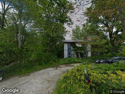
20230 W State Route 65 Grand Rapids, OH 43522
Estimated Value: $160,757 - $204,000
2
Beds
1
Bath
1,120
Sq Ft
$163/Sq Ft
Est. Value
About This Home
This home is located at 20230 W State Route 65, Grand Rapids, OH 43522 and is currently estimated at $182,689, approximately $163 per square foot. 20230 W State Route 65 is a home located in Wood County with nearby schools including Otsego Elementary School, Otsego Junior High School, and Otsego High School.
Ownership History
Date
Name
Owned For
Owner Type
Purchase Details
Closed on
Jan 28, 2025
Sold by
Kathleen Jo Schwan Living Trust and Langenderfer Mark C
Bought by
Miller Erik M
Current Estimated Value
Purchase Details
Closed on
Jan 14, 2022
Sold by
Jo Schwan Kathleen
Bought by
Kathleen Jo Schwan Living Trust
Purchase Details
Closed on
Jul 19, 1999
Sold by
Miller Michael A
Bought by
Schwan Kathleen J
Purchase Details
Closed on
Feb 28, 1991
Bought by
Miller Michael A
Create a Home Valuation Report for This Property
The Home Valuation Report is an in-depth analysis detailing your home's value as well as a comparison with similar homes in the area
Home Values in the Area
Average Home Value in this Area
Purchase History
| Date | Buyer | Sale Price | Title Company |
|---|---|---|---|
| Miller Erik M | -- | None Listed On Document | |
| Kathleen Jo Schwan Living Trust | -- | Middleton Staten T | |
| Schwan Kathleen J | -- | -- | |
| Miller Michael A | -- | -- |
Source: Public Records
Mortgage History
| Date | Status | Borrower | Loan Amount |
|---|---|---|---|
| Previous Owner | Langenderfer Mark C | $40,000 |
Source: Public Records
Tax History Compared to Growth
Tax History
| Year | Tax Paid | Tax Assessment Tax Assessment Total Assessment is a certain percentage of the fair market value that is determined by local assessors to be the total taxable value of land and additions on the property. | Land | Improvement |
|---|---|---|---|---|
| 2023 | $1,718 | $40,920 | $20,300 | $20,620 |
| 2021 | $1,544 | $33,430 | $19,180 | $14,250 |
| 2020 | $1,552 | $33,430 | $19,180 | $14,250 |
| 2019 | $1,550 | $32,480 | $19,180 | $13,300 |
| 2018 | $1,553 | $32,480 | $19,180 | $13,300 |
| 2017 | $1,509 | $32,480 | $19,180 | $13,300 |
| 2016 | $1,427 | $31,330 | $19,180 | $12,150 |
| 2015 | $1,427 | $31,330 | $19,180 | $12,150 |
| 2014 | $1,421 | $31,330 | $19,180 | $12,150 |
| 2013 | $1,544 | $31,330 | $19,180 | $12,150 |
Source: Public Records
Map
Nearby Homes
- 19788 Otsego Pike
- 10325 Bailey Rd
- 0 Kellogg Rd Unit 6125521
- 12535 S River Rd
- 12701 S River Rd
- 0 Manore Lot A Rd Unit 6123556
- 0 Manore Lot B Rd Unit 6123557
- 0 Wall St
- 17670 W River Rd
- 17345 Reams Rd
- 0 Noward Rd
- 9901 Neapolis Waterville Rd
- 0 Jeffers Rd
- 22888 Wintergreen Rd
- 9100 Prov Neap Swan Rd
- 16896 Long Judson Rd
- 11500 Stiles Rd
- 1108 Westridge Dr
- 1113 Bending Brook Ln
- 24269 W Second St