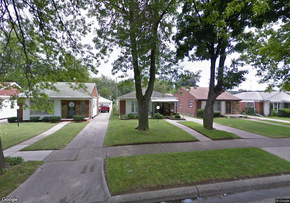
20230 Westmoreland Rd Detroit, MI 48219
O'Hair Park NeighborhoodEstimated Value: $129,000 - $157,000
--
Bed
1
Bath
1,266
Sq Ft
$110/Sq Ft
Est. Value
About This Home
This home is located at 20230 Westmoreland Rd, Detroit, MI 48219 and is currently estimated at $139,701, approximately $110 per square foot. 20230 Westmoreland Rd is a home located in Wayne County with nearby schools including Ralph W. Emerson Elementary-Middle School, Charles L. Spain Elementary-Middle School, and Edward 'Duke' Ellington Conservatory of Music and Art.
Ownership History
Date
Name
Owned For
Owner Type
Purchase Details
Closed on
Jun 3, 2025
Sold by
Milliean Ernestine and Milliean Keith Jerome
Bought by
Milliean Ernestine and Ernestine Milliean Trust
Current Estimated Value
Purchase Details
Closed on
Aug 1, 2004
Sold by
Milliean Ernestine
Bought by
Milliean Ernestine
Create a Home Valuation Report for This Property
The Home Valuation Report is an in-depth analysis detailing your home's value as well as a comparison with similar homes in the area
Home Values in the Area
Average Home Value in this Area
Purchase History
| Date | Buyer | Sale Price | Title Company |
|---|---|---|---|
| Milliean Ernestine | -- | None Listed On Document | |
| Milliean Ernestine | -- | None Listed On Document | |
| Milliean Ernestine | -- | Philip F Greco Title Company |
Source: Public Records
Tax History Compared to Growth
Tax History
| Year | Tax Paid | Tax Assessment Tax Assessment Total Assessment is a certain percentage of the fair market value that is determined by local assessors to be the total taxable value of land and additions on the property. | Land | Improvement |
|---|---|---|---|---|
| 2025 | $1,561 | $68,000 | $0 | $0 |
| 2024 | $1,561 | $59,700 | $0 | $0 |
| 2023 | $1,514 | $47,000 | $0 | $0 |
| 2022 | $1,666 | $38,400 | $0 | $0 |
| 2021 | $1,622 | $30,700 | $0 | $0 |
| 2020 | $1,603 | $27,400 | $0 | $0 |
| 2019 | $1,578 | $21,800 | $0 | $0 |
| 2018 | $1,333 | $18,800 | $0 | $0 |
| 2017 | $345 | $18,200 | $0 | $0 |
| 2016 | $1,585 | $22,400 | $0 | $0 |
| 2015 | $2,240 | $22,400 | $0 | $0 |
| 2013 | $2,795 | $27,951 | $0 | $0 |
| 2010 | -- | $40,980 | $1,185 | $39,795 |
Source: Public Records
Map
Nearby Homes
- 20310 Annchester Rd
- 20534 Grandville Ave
- 20569 Evergreen Rd
- 20553 Vaughan St
- 19811 Plainview Ave
- 20041 Heyden St
- 19947 Heyden St
- 19720 Evergreen Rd
- 20210 Westhampton Ave
- 20980 Evergreen Rd
- 19719 Vaughan St
- 19480 Edinborough Rd
- 20566 Patton St
- 19468 Evergreen Rd
- 19922 Stahelin Ave
- 20232 Braile St
- 20120 Braile St
- 20092 Avon Ave
- 19470 Grandville Ave
- 19736 Stout St
- 20220 Westmoreland Rd
- 20236 Westmoreland Rd
- 20210 Westmoreland Rd
- 20244 Westmoreland Rd
- 20252 Westmoreland Rd
- 20200 Westmoreland Rd
- 20231 Annchester Rd
- 20221 Annchester Rd
- 20237 Annchester Rd
- 20211 Annchester Rd
- 20245 Annchester Rd
- 20260 Westmoreland Rd
- 20253 Annchester Rd
- 20201 Annchester Rd
- 20235 Westmoreland Rd
- 20221 Westmoreland Rd
- 20270 Westmoreland Rd
- 20261 Annchester Rd
- 20245 Westmoreland Rd
- 20255 Westmoreland Rd