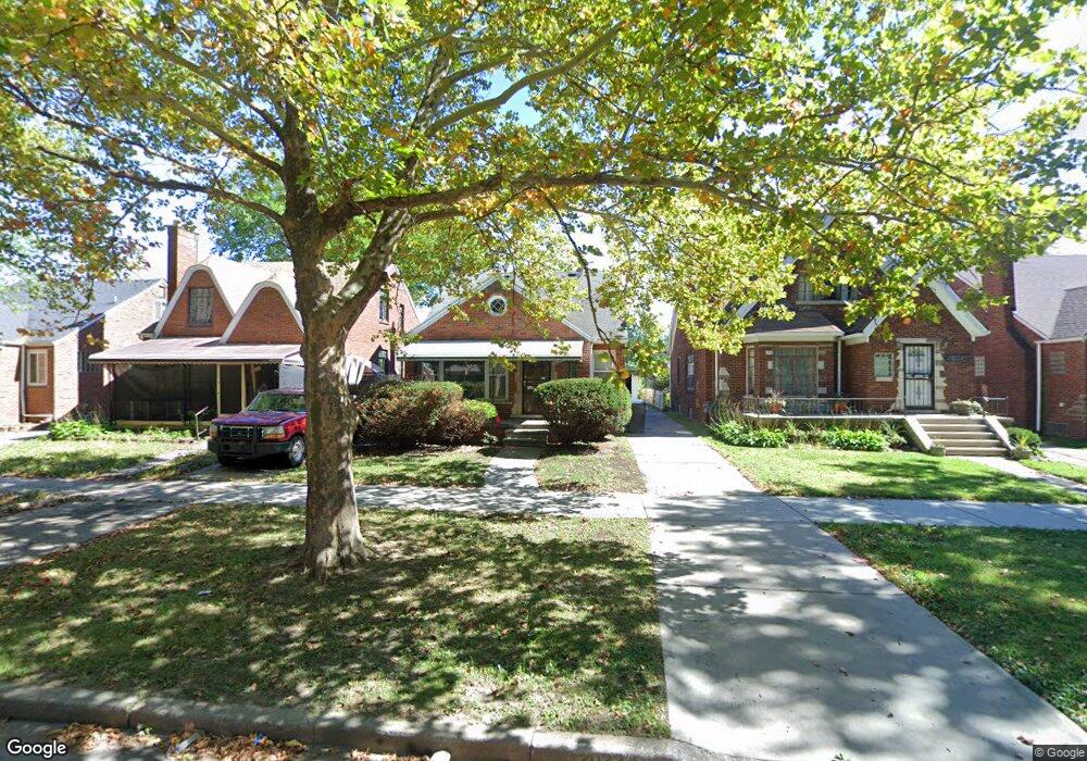
20234 Stotter St Detroit, MI 48234
Sherwood NeighborhoodEstimated Value: $118,000 - $131,000
3
Beds
2
Baths
1,070
Sq Ft
$117/Sq Ft
Est. Value
About This Home
This home is located at 20234 Stotter St, Detroit, MI 48234 and is currently estimated at $125,217, approximately $117 per square foot. 20234 Stotter St is a home located in Wayne County with nearby schools including Marion Law Academy, Edward 'Duke' Ellington Conservatory of Music and Art, and Charles L. Spain Elementary-Middle School.
Ownership History
Date
Name
Owned For
Owner Type
Purchase Details
Closed on
Mar 27, 2017
Sold by
Baker Yelondia D
Bought by
Ecsh Porperty Management Co
Current Estimated Value
Purchase Details
Closed on
Oct 11, 2016
Sold by
Hepbum Steven
Bought by
Baker Yetondia D
Purchase Details
Closed on
Jul 30, 2010
Sold by
The Mcclendon Family Revocable Trust
Bought by
Stevens Property Management Company
Create a Home Valuation Report for This Property
The Home Valuation Report is an in-depth analysis detailing your home's value as well as a comparison with similar homes in the area
Home Values in the Area
Average Home Value in this Area
Purchase History
| Date | Buyer | Sale Price | Title Company |
|---|---|---|---|
| Ecsh Porperty Management Co | -- | None Available | |
| Baker Yetondia D | $3,000 | None Available | |
| Stevens Property Management Company | -- | Embassy Title Agency |
Source: Public Records
Tax History Compared to Growth
Tax History
| Year | Tax Paid | Tax Assessment Tax Assessment Total Assessment is a certain percentage of the fair market value that is determined by local assessors to be the total taxable value of land and additions on the property. | Land | Improvement |
|---|---|---|---|---|
| 2025 | $1,058 | $31,100 | $0 | $0 |
| 2024 | $1,058 | $26,300 | $0 | $0 |
| 2023 | $1,026 | $21,100 | $0 | $0 |
| 2022 | $1,090 | $18,400 | $0 | $0 |
| 2021 | $1,062 | $13,200 | $0 | $0 |
| 2020 | $1,062 | $12,600 | $0 | $0 |
| 2019 | $1,046 | $9,900 | $0 | $0 |
| 2018 | $925 | $8,900 | $0 | $0 |
| 2017 | $142 | $7,500 | $0 | $0 |
| 2016 | $1,477 | $24,700 | $0 | $0 |
| 2015 | $1,630 | $16,300 | $0 | $0 |
| 2013 | $2,036 | $20,360 | $0 | $0 |
| 2010 | -- | $29,850 | $928 | $28,922 |
Source: Public Records
Map
Nearby Homes
- 20229 Stotter St
- 20215 Stotter St
- 20178 Stotter St
- 20163 Bramford St
- 20466 Spencer St
- 20124 Spencer St
- 20400 Packard St
- 20225 Terrell St
- 20464 Bramford St
- 20192 Rogge St
- 20482 Rogge St
- 20471 Veach St
- 20421 Rogge St
- 20438 Veach St
- 20143 Rogge St
- 20170 Carrie St
- 19985 Packard St
- 20185 Carrie St
- 20151 Carrie St
- 20119 Carrie St
- 20226 Stotter St
- 20242 Stotter St
- 20220 Stotter St
- 20250 Stotter St
- 20214 Stotter St
- 20256 Stotter St
- 20241 Van Dyke Ave Unit 20237 Van Dyke
- 20206 Stotter St
- 20264 Stotter St
- 20200 Stotter St
- 20237 Stotter St
- 20245 Stotter St
- 20251 Stotter St
- 20223 Stotter St
- 20194 Stotter St
- 20257 Stotter St
- 20400 Stotter St
- 20265 Stotter St
- 20209 Stotter St
- 20186 Stotter St