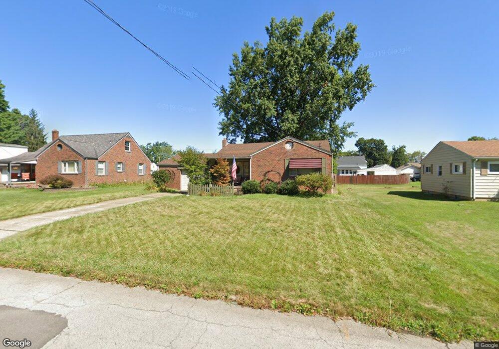
2024 Brownlee Ave Youngstown, OH 44514
Estimated Value: $92,000 - $140,000
2
Beds
1
Bath
1,125
Sq Ft
$102/Sq Ft
Est. Value
About This Home
This home is located at 2024 Brownlee Ave, Youngstown, OH 44514 and is currently estimated at $114,575, approximately $101 per square foot. 2024 Brownlee Ave is a home located in Mahoning County with nearby schools including Paul C. Bunn Elementary School, Chaney High School, and Summit Academy Secondary School - Youngstown.
Ownership History
Date
Name
Owned For
Owner Type
Purchase Details
Closed on
Feb 27, 1989
Bought by
Smith Robert J
Current Estimated Value
Create a Home Valuation Report for This Property
The Home Valuation Report is an in-depth analysis detailing your home's value as well as a comparison with similar homes in the area
Home Values in the Area
Average Home Value in this Area
Purchase History
| Date | Buyer | Sale Price | Title Company |
|---|---|---|---|
| Smith Robert J | $41,500 | -- |
Source: Public Records
Tax History Compared to Growth
Tax History
| Year | Tax Paid | Tax Assessment Tax Assessment Total Assessment is a certain percentage of the fair market value that is determined by local assessors to be the total taxable value of land and additions on the property. | Land | Improvement |
|---|---|---|---|---|
| 2024 | $1,037 | $21,760 | $2,430 | $19,330 |
| 2023 | $1,029 | $21,760 | $2,430 | $19,330 |
| 2022 | $1,123 | $18,290 | $2,500 | $15,790 |
| 2021 | $1,123 | $18,290 | $2,500 | $15,790 |
| 2020 | $1,130 | $18,290 | $2,500 | $15,790 |
| 2019 | $1,125 | $16,330 | $2,230 | $14,100 |
| 2018 | $1,193 | $16,330 | $2,230 | $14,100 |
| 2017 | $1,133 | $16,330 | $2,230 | $14,100 |
| 2016 | $1,207 | $18,720 | $2,230 | $16,490 |
| 2015 | $1,182 | $18,720 | $2,230 | $16,490 |
| 2014 | $1,173 | $18,720 | $2,230 | $16,490 |
| 2013 | $1,157 | $18,720 | $2,230 | $16,490 |
Source: Public Records
Map
Nearby Homes
- 2001 Brownlee Ave
- 1928 Medford Ave
- 2002 Bancroft Ave
- 1954 Everett Ave
- 2007 E Midlothian Blvd
- 0 Weston Ave
- 0 Crescent Dr Unit 5124984
- 608 Maplewood Ave
- 1653 Brownlee Ave
- 1654 Wakefield Ave
- 4528 Sheridan Rd
- 1633 Wakefield Ave
- 2016 Pointview Ave
- 1709 S Heights Ave
- 574 Spring St
- 1912 Thalia Ave
- 2510 E Midlothian Blvd
- 1560 Wakefield Ave
- 491 Spring St
- 1513 Wakefield Ave
- 2020 Brownlee Ave
- 2030 Brownlee Ave
- 2008 Brownlee Ave
- 2019 Medford Ave
- 2023 Medford Ave
- 2002 Brownlee Ave
- 2013 Medford Ave
- 2029 Medford Ave
- 2036 Brownlee Ave
- 2007 Medford Ave
- 2019 Brownlee Ave
- 2035 Medford Ave
- 2025 Brownlee Ave
- 2013 Brownlee Ave
- 2031 Brownlee Ave
- 2007 Brownlee Ave
- 2001 Medford Ave
- 2041 Medford Ave
- 2037 Brownlee Ave
- 2045 Medford Ave