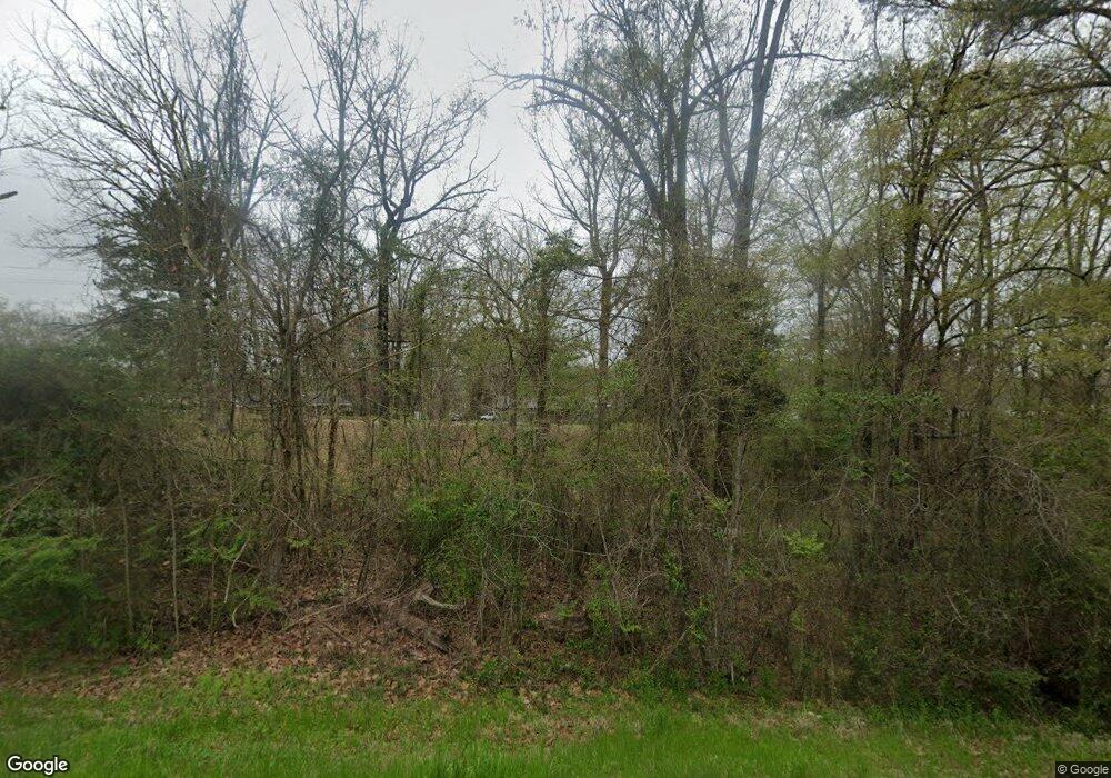
2024 Hwy 35 S Walnut Grove, MS 39189
Estimated Value: $103,000 - $150,000
3
Beds
2
Baths
1,104
Sq Ft
$118/Sq Ft
Est. Value
About This Home
This home is located at 2024 Hwy 35 S, Walnut Grove, MS 39189 and is currently estimated at $129,867, approximately $117 per square foot. 2024 Hwy 35 S is a home located in Leake County with nearby schools including Leake County Elementary School and Leake County High School.
Ownership History
Date
Name
Owned For
Owner Type
Purchase Details
Closed on
Jul 30, 2020
Sold by
Turner And Bradshaw Investments Llc
Bought by
Stribling John
Current Estimated Value
Home Financials for this Owner
Home Financials are based on the most recent Mortgage that was taken out on this home.
Original Mortgage
$107,415
Outstanding Balance
$95,070
Interest Rate
3%
Mortgage Type
VA
Estimated Equity
$34,797
Purchase Details
Closed on
Dec 31, 2018
Sold by
Turner Billy
Bought by
Turner And Bradshaw Investments Llc
Purchase Details
Closed on
Dec 26, 2018
Sold by
Jpmorgan Chase Bank Na
Bought by
Turner Billy
Purchase Details
Closed on
Nov 29, 2011
Sold by
Evans William Daniel
Bought by
Cannon Michael E
Home Financials for this Owner
Home Financials are based on the most recent Mortgage that was taken out on this home.
Original Mortgage
$73,979
Interest Rate
4.06%
Mortgage Type
Purchase Money Mortgage
Create a Home Valuation Report for This Property
The Home Valuation Report is an in-depth analysis detailing your home's value as well as a comparison with similar homes in the area
Home Values in the Area
Average Home Value in this Area
Purchase History
| Date | Buyer | Sale Price | Title Company |
|---|---|---|---|
| Stribling John | -- | -- | |
| Turner And Bradshaw Investments Llc | -- | -- | |
| Turner Billy | $17,500 | -- | |
| Cannon Michael E | -- | -- |
Source: Public Records
Mortgage History
| Date | Status | Borrower | Loan Amount |
|---|---|---|---|
| Open | Stribling John | $107,415 | |
| Previous Owner | Cannon Michael E | $73,979 |
Source: Public Records
Tax History Compared to Growth
Tax History
| Year | Tax Paid | Tax Assessment Tax Assessment Total Assessment is a certain percentage of the fair market value that is determined by local assessors to be the total taxable value of land and additions on the property. | Land | Improvement |
|---|---|---|---|---|
| 2024 | $485 | $5,802 | $602 | $5,200 |
| 2023 | $476 | $5,802 | $602 | $5,200 |
| 2022 | $467 | $5,802 | $602 | $5,200 |
| 2021 | $489 | $6,403 | $604 | $5,799 |
| 2020 | $1,120 | $9,593 | $894 | $8,699 |
| 2019 | $1,073 | $9,593 | $894 | $8,699 |
| 2018 | $434 | $6,406 | $607 | $5,799 |
| 2017 | $415 | $6,176 | $637 | $5,539 |
| 2016 | $0 | $6,173 | $634 | $5,539 |
| 2015 | $383 | $6,172 | $633 | $5,539 |
| 2014 | $383 | $6,169 | $630 | $5,539 |
Source: Public Records
Map
Nearby Homes
- 0 Highway 35 Unit 4126739
- 325 Reeves Ave
- 0 Highway 492 Unit 11412625
- 3011 Crowder Creek Rd
- 0 Freeny Rd
- 0 Pettey Rd
- -- Pettey Rd
- --- Pettey Rd
- - Pettey Rd
- 978 Mississippi 487
- 786 Clyde B Rd
- 790 Clyde B Rd
- 9250 Pleasant Hill Rd
- 8962 Pleasant Hill Rd
- 0 Futch Rd
- 1515 Ealy Rd
- 11281 Mississippi 21
- - Calhoun Ln
- 1687 Thaggard Rd
- 2024 Highway 35 S Unit 35
- 2024 Highway 35 S
- 2024 Highway 35 S
- 2024 Highway 35 S
- 2028 Highway 35 S
- 2032 Highway 35 S
- 2032 Highway 35 S
- 2036 Highway 35 S
- 2033 Highway 35 S
- 2021 Highway 35 S
- 2037 Highway 35 S
- 164 Kit Lewis Rd
- 122 Kit Lewis Rd
- 96 Kit Lewis Rd
- 1990 Mississippi 35
- 1990 Highway 35 S
- 0 Kit Lewis Rd Unit lot 5
- 22 Kit Lewis Rd
- 35 Ware Rd
- 584 Starling Center Rd
