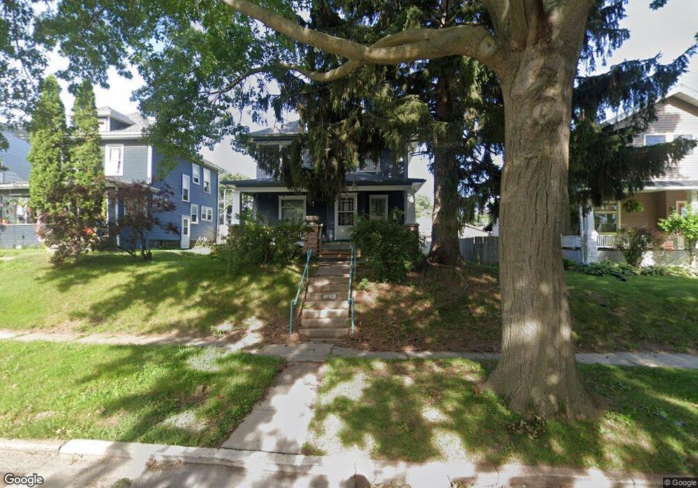
2024 Lillie Ave Davenport, IA 52804
Near North Side NeighborhoodEstimated Value: $143,000 - $166,000
3
Beds
2
Baths
1,806
Sq Ft
$88/Sq Ft
Est. Value
About This Home
This home is located at 2024 Lillie Ave, Davenport, IA 52804 and is currently estimated at $158,327, approximately $87 per square foot. 2024 Lillie Ave is a home located in Scott County with nearby schools including Tygart Creek Elementary School, Adams Elementary School, and Academy Of Continuing Education.
Ownership History
Date
Name
Owned For
Owner Type
Purchase Details
Closed on
Oct 26, 2023
Sold by
First Financial Group Llc
Bought by
Meloche Michael T and Ditto Nancy J
Current Estimated Value
Home Financials for this Owner
Home Financials are based on the most recent Mortgage that was taken out on this home.
Original Mortgage
$115,235
Outstanding Balance
$113,049
Interest Rate
7.31%
Mortgage Type
New Conventional
Estimated Equity
$45,278
Purchase Details
Closed on
Nov 15, 2005
Sold by
Gale Richard Allen
Bought by
First Financial Group Lc
Create a Home Valuation Report for This Property
The Home Valuation Report is an in-depth analysis detailing your home's value as well as a comparison with similar homes in the area
Home Values in the Area
Average Home Value in this Area
Purchase History
| Date | Buyer | Sale Price | Title Company |
|---|---|---|---|
| Meloche Michael T | $121,500 | None Listed On Document | |
| First Financial Group Lc | $66,502 | None Available |
Source: Public Records
Mortgage History
| Date | Status | Borrower | Loan Amount |
|---|---|---|---|
| Open | Meloche Michael T | $115,235 |
Source: Public Records
Tax History Compared to Growth
Tax History
| Year | Tax Paid | Tax Assessment Tax Assessment Total Assessment is a certain percentage of the fair market value that is determined by local assessors to be the total taxable value of land and additions on the property. | Land | Improvement |
|---|---|---|---|---|
| 2025 | $2,572 | $151,680 | $23,750 | $127,930 |
| 2024 | $2,510 | $143,880 | $23,750 | $120,130 |
| 2023 | $2,426 | $143,880 | $23,750 | $120,130 |
| 2022 | $2,438 | $113,610 | $20,190 | $93,420 |
| 2021 | $2,438 | $113,610 | $20,190 | $93,420 |
| 2020 | $2,348 | $108,070 | $20,190 | $87,880 |
| 2019 | $2,424 | $108,070 | $20,190 | $87,880 |
| 2018 | $0 | $108,070 | $20,190 | $87,880 |
| 2017 | $601 | $108,070 | $20,190 | $87,880 |
| 2016 | $2,276 | $103,880 | $0 | $0 |
| 2015 | $2,276 | $109,910 | $0 | $0 |
| 2014 | $2,440 | $109,910 | $0 | $0 |
| 2013 | $2,398 | $0 | $0 | $0 |
| 2012 | -- | $112,850 | $18,540 | $94,310 |
Source: Public Records
Map
Nearby Homes
- 2038 N Myrtle St
- 2026 N Marquette St
- 1921 Lillie Ave
- 1203 W Locust St
- 1925 Vine St
- 2325 N Marquette St
- 922 W Lombard St
- 2133 Warren St
- 2230 Warren St
- 2015 Washington St
- 816 Spalding Blvd
- 1517 W Lombard St
- 1118 W 15th St
- 1525 W High St
- 734 W 17th St
- 1514 N Marquette St
- 822 W Rusholme St
- 1034 W 14th St
- 930 W 14th St
- 2218 Western Ave
- 2020 Lillie Ave
- 2028 Lillie Ave
- 2018 Lillie Ave
- 2030 Lillie Ave
- 1207 W High St
- 2014 Lillie Ave
- 2025 N Marquette St
- 2021 N Marquette St
- 2031 N Marquette St
- 2010 Lillie Ave
- 2017 N Marquette St
- 2025 Lillie Ave
- 2029 Lillie Ave
- 2033 Lillie Ave
- 1214 W High St
- 1210 W High St
- 2021 Lillie Ave
- 2035 Lillie Ave
- 1202 W High St
- 2002 Lillie Ave