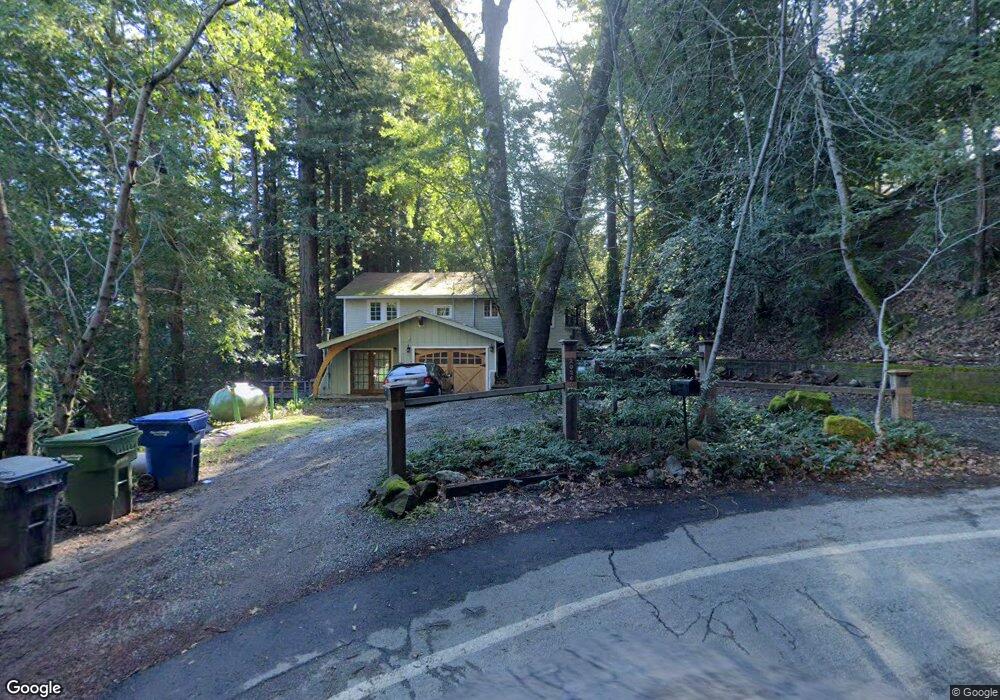
20246 Gist Rd Los Gatos, CA 95033
Estimated Value: $890,000 - $1,765,000
4
Beds
2
Baths
1,974
Sq Ft
$589/Sq Ft
Est. Value
About This Home
This home is located at 20246 Gist Rd, Los Gatos, CA 95033 and is currently estimated at $1,162,771, approximately $589 per square foot. 20246 Gist Rd is a home located in Santa Clara County with nearby schools including Lakeside Elementary School and Los Gatos High School.
Ownership History
Date
Name
Owned For
Owner Type
Purchase Details
Closed on
Jan 2, 2021
Sold by
Yaeger Larry S and Thomas Levi
Bought by
Rosenquist Erik and Rosenquist John Erik
Current Estimated Value
Purchase Details
Closed on
Dec 5, 1996
Sold by
Yaeger Larry S and Levi Thomas
Bought by
Rosenquist Erik and Rosenquist Laura
Home Financials for this Owner
Home Financials are based on the most recent Mortgage that was taken out on this home.
Original Mortgage
$272,000
Outstanding Balance
$26,829
Interest Rate
7.37%
Mortgage Type
Purchase Money Mortgage
Estimated Equity
$1,135,942
Create a Home Valuation Report for This Property
The Home Valuation Report is an in-depth analysis detailing your home's value as well as a comparison with similar homes in the area
Home Values in the Area
Average Home Value in this Area
Purchase History
| Date | Buyer | Sale Price | Title Company |
|---|---|---|---|
| Rosenquist Erik | -- | None Available | |
| Rosenquist Erik | $340,000 | Stewart Title |
Source: Public Records
Mortgage History
| Date | Status | Borrower | Loan Amount |
|---|---|---|---|
| Open | Rosenquist Erik | $272,000 |
Source: Public Records
Tax History Compared to Growth
Tax History
| Year | Tax Paid | Tax Assessment Tax Assessment Total Assessment is a certain percentage of the fair market value that is determined by local assessors to be the total taxable value of land and additions on the property. | Land | Improvement |
|---|---|---|---|---|
| 2025 | $7,475 | $616,832 | $358,300 | $258,532 |
| 2024 | $7,475 | $604,738 | $351,275 | $253,463 |
| 2023 | $7,296 | $592,882 | $344,388 | $248,494 |
| 2022 | $7,382 | $581,258 | $337,636 | $243,622 |
| 2021 | $7,288 | $569,862 | $331,016 | $238,846 |
| 2020 | $7,149 | $564,019 | $327,622 | $236,397 |
| 2019 | $7,063 | $552,961 | $321,199 | $231,762 |
| 2018 | $6,961 | $542,119 | $314,901 | $227,218 |
| 2017 | $6,944 | $531,490 | $308,727 | $222,763 |
| 2016 | $6,429 | $521,070 | $302,674 | $218,396 |
| 2015 | $6,330 | $513,244 | $298,128 | $215,116 |
| 2014 | $6,220 | $503,192 | $292,289 | $210,903 |
Source: Public Records
Map
Nearby Homes
- 18650 Black Rd
- 18700 Black Rd
- 18590 Black Rd
- 18570 Black Rd
- 18570+ Black Rd
- 19850 Skyline Blvd
- 19960 Skyline Blvd
- 19150 Beardsley Rd
- 19375 Montevina Rd
- 19089 Skyline Blvd
- 19474 Aeronaut Way
- 950 Oak Ridge Rd
- 0 Montevina Rd
- 22178 Miller Ridge Rd
- 16999 Mcgill Rd
- 17035 Bohlman Rd
- 1301 Bear Creek Canyon Rd
- 21460 Bear Creek Rd
- 19156 Old Vineyard Rd
- 20910 Outer Zayante Rd