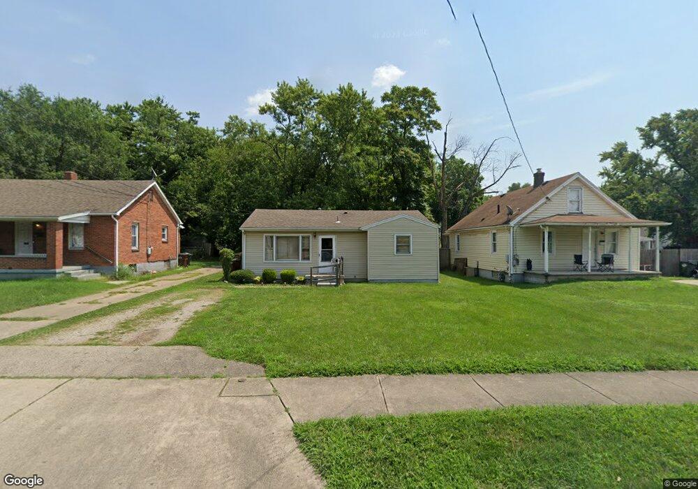
2025 Carolina St Middletown, OH 45044
Mayfield NeighborhoodEstimated Value: $105,874 - $138,000
3
Beds
1
Bath
840
Sq Ft
$151/Sq Ft
Est. Value
About This Home
This home is located at 2025 Carolina St, Middletown, OH 45044 and is currently estimated at $126,969, approximately $151 per square foot. 2025 Carolina St is a home located in Butler County with nearby schools including Mayfield Elementary School, Highview 6th Grade Center, and Middletown Middle School.
Ownership History
Date
Name
Owned For
Owner Type
Purchase Details
Closed on
Mar 7, 2024
Sold by
Smith Marvin Gene and Smith Anne Leung
Bought by
Marvin Gene Smith Trust and Smith
Current Estimated Value
Purchase Details
Closed on
Feb 29, 2024
Sold by
Alfred Smith Trust and Smith Larry E
Bought by
Smith Marvin Gene
Create a Home Valuation Report for This Property
The Home Valuation Report is an in-depth analysis detailing your home's value as well as a comparison with similar homes in the area
Home Values in the Area
Average Home Value in this Area
Purchase History
| Date | Buyer | Sale Price | Title Company |
|---|---|---|---|
| Marvin Gene Smith Trust | -- | None Listed On Document | |
| Smith Marvin Gene | -- | None Listed On Document | |
| Smith Marvin Gene | -- | None Listed On Document |
Source: Public Records
Tax History Compared to Growth
Tax History
| Year | Tax Paid | Tax Assessment Tax Assessment Total Assessment is a certain percentage of the fair market value that is determined by local assessors to be the total taxable value of land and additions on the property. | Land | Improvement |
|---|---|---|---|---|
| 2024 | $1,424 | $26,870 | $6,610 | $20,260 |
| 2023 | $1,416 | $26,870 | $6,610 | $20,260 |
| 2022 | $1,194 | $20,040 | $6,610 | $13,430 |
| 2021 | $1,149 | $20,040 | $6,610 | $13,430 |
| 2020 | $1,198 | $20,040 | $6,610 | $13,430 |
| 2019 | $1,172 | $16,170 | $6,140 | $10,030 |
| 2018 | $1,047 | $16,170 | $6,140 | $10,030 |
| 2017 | $1,049 | $16,170 | $6,140 | $10,030 |
| 2016 | $1,010 | $14,910 | $6,140 | $8,770 |
| 2015 | $996 | $14,910 | $6,140 | $8,770 |
| 2014 | $1,283 | $14,910 | $6,140 | $8,770 |
| 2013 | $1,283 | $20,890 | $6,140 | $14,750 |
Source: Public Records
Map
Nearby Homes
- 2216 Carolina St
- 1932 Winton St
- 2120 Fernwood St
- 1728 Fernwood St
- 3105 August Ave
- 2225 Sheffield St
- 2128 Lamberton St
- 1305 Highland St
- 3218 Keays Ave
- 1308 Orchard St
- 2033 Jackson Ln
- 2010 Waynedale Ct
- 3508 Jonathan Way
- 1808 Waynebrook Dr
- 808 The Alameda
- 800 Orchard St
- 1926 Circle Kelly Jo
- 2121 Roosevelt Blvd
- 2308 Queen Ave
- 2409 Queen Ave
- 2029 Carolina St
- 2021 Carolina St
- 2819 Plymouth St
- 2017 Carolina St
- 2821 Plymouth St
- 2013 Carolina St
- 2024 Carolina St
- 2020 Carolina St
- 2028 Carolina St
- 2016 Carolina St
- 2009 Carolina St
- 2012 Carolina St
- 2823 Plymouth St
- 2005 Carolina St
- 2100 Carolina St
- 2820 Plymouth St
- 2008 Carolina St
- 2105 Carolina St
- 2725 Plymouth St
- 2710 Plymouth St