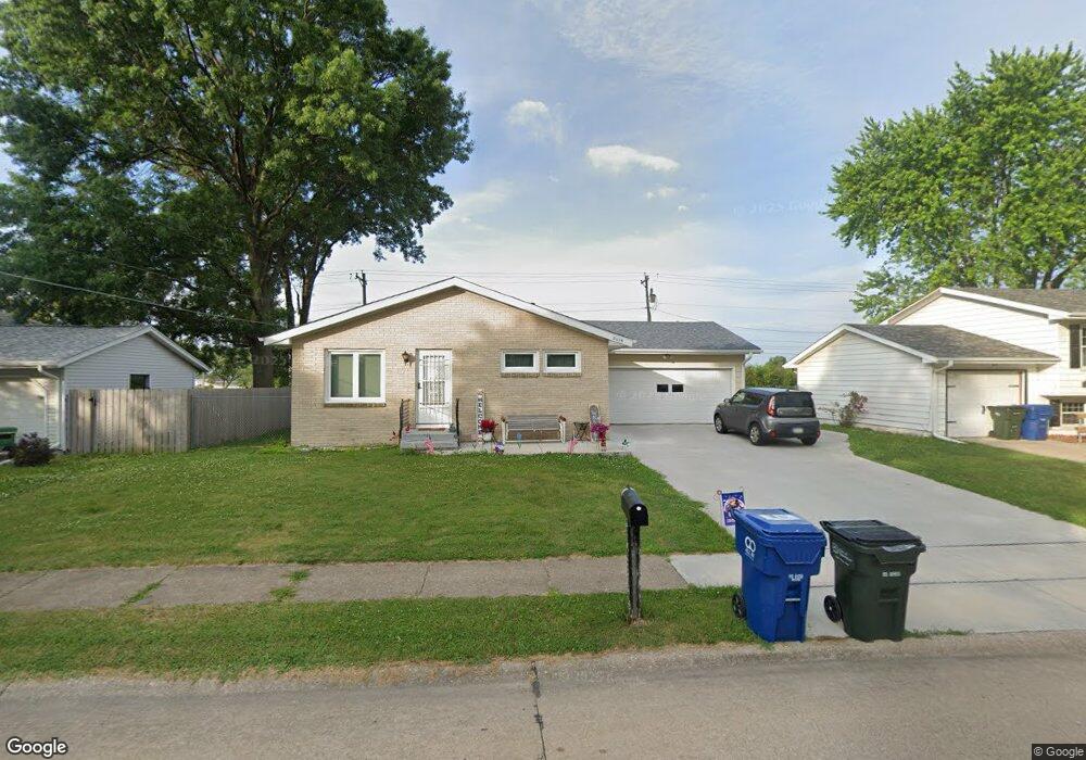
2025 W 63rd St Davenport, IA 52806
North Side NeighborhoodEstimated Value: $186,750 - $210,000
3
Beds
3
Baths
1,160
Sq Ft
$168/Sq Ft
Est. Value
About This Home
This home is located at 2025 W 63rd St, Davenport, IA 52806 and is currently estimated at $195,438, approximately $168 per square foot. 2025 W 63rd St is a home located in Scott County with nearby schools including Fillmore Elementary School, Wood Intermediate School, and North High School.
Ownership History
Date
Name
Owned For
Owner Type
Purchase Details
Closed on
Apr 26, 2024
Sold by
Martha L Border Revocable Trust and Meierotto Lori
Bought by
Meierotto Lori
Current Estimated Value
Purchase Details
Closed on
Feb 7, 2024
Sold by
Border Martha
Bought by
Meierotto Lori
Purchase Details
Closed on
Dec 14, 2010
Sold by
Border Lloyd L and Border Martha L
Bought by
Border Martha L
Create a Home Valuation Report for This Property
The Home Valuation Report is an in-depth analysis detailing your home's value as well as a comparison with similar homes in the area
Home Values in the Area
Average Home Value in this Area
Purchase History
| Date | Buyer | Sale Price | Title Company |
|---|---|---|---|
| Meierotto Lori | -- | None Listed On Document | |
| Meierotto Lori | -- | None Listed On Document | |
| Border Martha L | -- | None Available |
Source: Public Records
Tax History Compared to Growth
Tax History
| Year | Tax Paid | Tax Assessment Tax Assessment Total Assessment is a certain percentage of the fair market value that is determined by local assessors to be the total taxable value of land and additions on the property. | Land | Improvement |
|---|---|---|---|---|
| 2025 | $2,938 | $185,490 | $32,730 | $152,760 |
| 2024 | $2,862 | $164,420 | $32,730 | $131,690 |
| 2023 | $2,744 | $164,090 | $32,730 | $131,360 |
| 2022 | $2,754 | $140,750 | $25,290 | $115,460 |
| 2021 | $2,754 | $140,750 | $25,290 | $115,460 |
| 2020 | $2,664 | $134,780 | $25,290 | $109,490 |
| 2019 | $2,692 | $131,790 | $25,290 | $106,500 |
| 2018 | $2,520 | $131,790 | $25,290 | $106,500 |
| 2017 | $2,458 | $126,820 | $25,290 | $101,530 |
| 2016 | $2,360 | $119,850 | $0 | $0 |
| 2015 | $2,360 | $119,660 | $0 | $0 |
| 2014 | $2,390 | $119,660 | $0 | $0 |
| 2013 | $2,342 | $0 | $0 | $0 |
| 2012 | -- | $117,980 | $25,620 | $92,360 |
Source: Public Records
Map
Nearby Homes
- Lot 65 W 66th St
- 2521 W 63rd St
- 2008 W 70th St
- 2203 W 59th St
- 2714 W 66th St
- 1629 W 66th St
- 2611 W 69th St
- 2434 W 59th St
- 000 Pacific St
- 2822 High Point Dr
- 6922 Madison St
- 6354 High Point Ct
- 7402 N Pine St
- 3101 Fieldcrest Dr
- 1927 W 55th St
- 5516 N Division St
- 5824 Hillandale Rd
- 5510 N Division St
- 5556 N Thornwood Ave
- 3006 W 71st St
- 2015 W 63rd St
- 2031 W 63rd St
- 0 W 63rd Unit 4143827
- 0 W 63rd Unit 4143465
- 0 W 63rd Unit 4144374
- 0 W 63rd Unit 4145160
- 0 W 63rd Unit 4145159
- 2028 W 63rd St
- 6208 Kelling St
- 2035 W 63rd St
- 2010 W 63rd St
- Lot 5 W 63rd St
- Lot 8 W 63rd St
- Lot 1 W 63rd St
- Lot 2 W 63rd St
- Lot 3 W 63rd St
- Lot 11 W 63rd St
- Lot 10 W 63rd St
- Lot 9 W 63rd St
- 6404 Kelling St