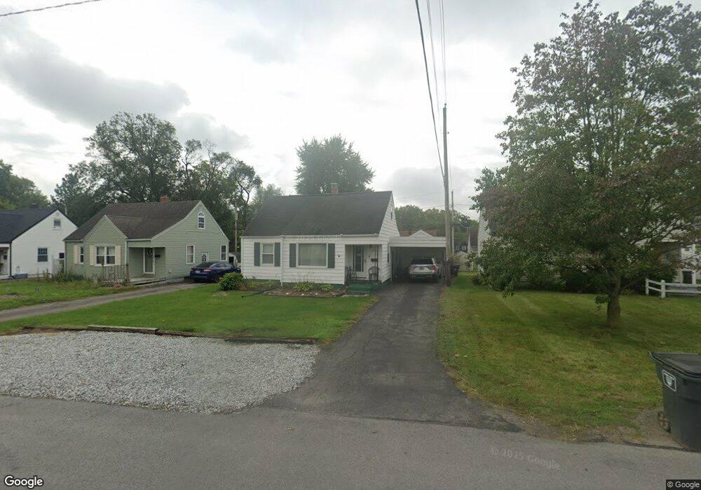
2025 W Wayne St Lima, OH 45805
Westgate NeighborhoodEstimated Value: $142,661 - $163,000
3
Beds
2
Baths
1,435
Sq Ft
$106/Sq Ft
Est. Value
About This Home
This home is located at 2025 W Wayne St, Lima, OH 45805 and is currently estimated at $151,415, approximately $105 per square foot. 2025 W Wayne St is a home located in Allen County with nearby schools including Heritage Elementary School, Lima West Middle School, and Lima North Middle School.
Ownership History
Date
Name
Owned For
Owner Type
Purchase Details
Closed on
Sep 30, 2002
Sold by
Kunkleman Timothy W
Bought by
White Clark D Angela
Current Estimated Value
Home Financials for this Owner
Home Financials are based on the most recent Mortgage that was taken out on this home.
Original Mortgage
$84,200
Outstanding Balance
$35,713
Interest Rate
6.32%
Mortgage Type
VA
Estimated Equity
$115,702
Purchase Details
Closed on
May 1, 1976
Bought by
Kunkleman Timothy W
Create a Home Valuation Report for This Property
The Home Valuation Report is an in-depth analysis detailing your home's value as well as a comparison with similar homes in the area
Home Values in the Area
Average Home Value in this Area
Purchase History
| Date | Buyer | Sale Price | Title Company |
|---|---|---|---|
| White Clark D Angela | $83,000 | -- | |
| Kunkleman Timothy W | $26,000 | -- |
Source: Public Records
Mortgage History
| Date | Status | Borrower | Loan Amount |
|---|---|---|---|
| Open | White Clark D Angela | $84,200 |
Source: Public Records
Tax History
| Year | Tax Paid | Tax Assessment Tax Assessment Total Assessment is a certain percentage of the fair market value that is determined by local assessors to be the total taxable value of land and additions on the property. | Land | Improvement |
|---|---|---|---|---|
| 2024 | $1,432 | $39,830 | $4,900 | $34,930 |
| 2023 | $1,166 | $27,860 | $3,430 | $24,430 |
| 2022 | $1,172 | $27,860 | $3,430 | $24,430 |
| 2021 | $1,241 | $27,860 | $3,430 | $24,430 |
| 2020 | $1,143 | $22,650 | $3,290 | $19,360 |
| 2019 | $1,143 | $22,650 | $3,290 | $19,360 |
| 2018 | $1,072 | $22,650 | $3,290 | $19,360 |
| 2017 | $1,022 | $20,020 | $3,290 | $16,730 |
| 2016 | $1,031 | $20,020 | $3,290 | $16,730 |
| 2015 | $1,054 | $20,020 | $3,290 | $16,730 |
| 2014 | $1,144 | $22,120 | $3,220 | $18,900 |
| 2013 | $1,113 | $22,120 | $3,220 | $18,900 |
Source: Public Records
Map
Nearby Homes
- 275 N Dale Dr
- 1918 Oakland Pkwy
- 2057 W High St
- 2201 W High St
- 1716 Oakland Pkwy
- 161 S Cable Rd
- 705 Cornell Dr
- 1753 Leland Ave
- 1607 W Wayne St
- 3 Poulston Place
- 1541 Oakland Pkwy
- 1605 Hazel Ave
- 1600 Leland Ave
- 1517 Allentown Rd
- 1508 Oakland Pkwy
- 1880 Wendell Ave
- 2700 Lowell Ave
- 308 S Judkins Ave
- 2802 Lowell Ave
- 2250 Kunneke Ave
- 2015 W Wayne St
- 2045 W Wayne St
- 2011 W Wayne St
- 2024 Oakland Pkwy
- 2018 Oakland Pkwy
- 2030 Oakland Pkwy
- 2055 W Wayne St
- 2012 Oakland Pkwy
- 2007 W Wayne St
- 2036 Oakland Pkwy
- 2006 Oakland Pkwy
- 2042 Oakland Pkwy
- 2065 Wayne Stw
- 2003 W Wayne St
- 2042 W Wayne St
- 400 Cornell Dr
- 2044 W Wayne St
- 2036 W Wayne St
- 2000 Oakland Pkwy
Your Personal Tour Guide
Ask me questions while you tour the home.